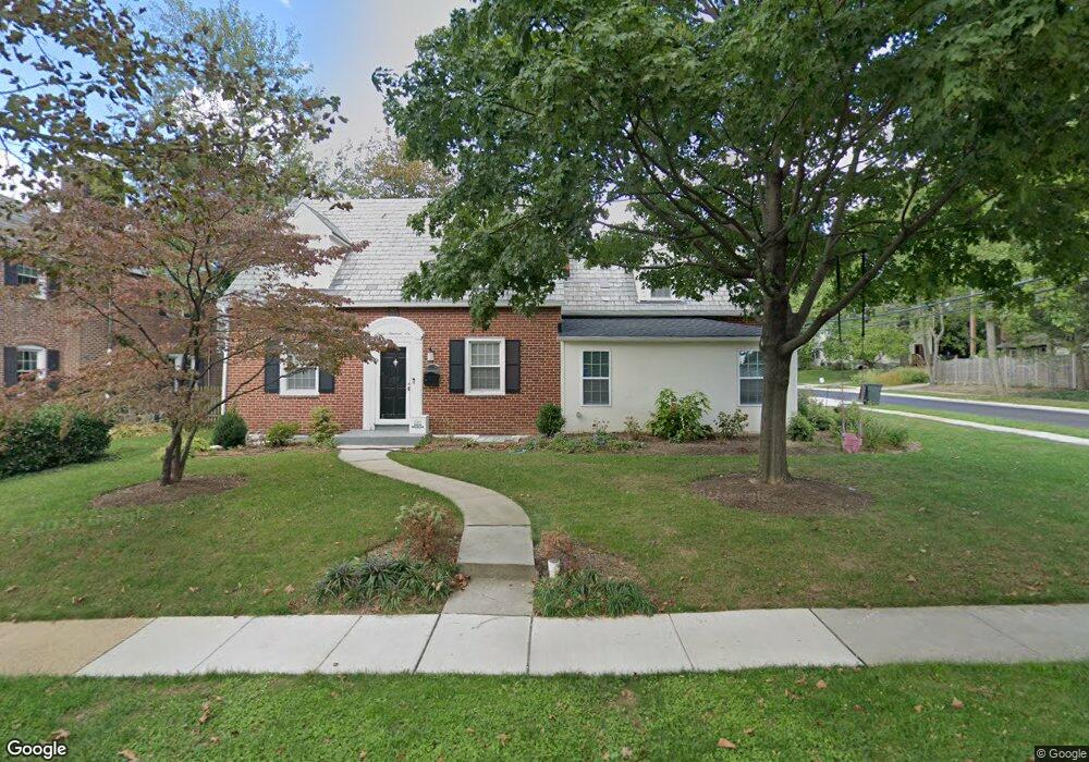
724 Kingston Rd Baltimore, MD 21212
Estimated Value: $188,000 - $411,000
--
Bed
1
Bath
1,054
Sq Ft
$243/Sq Ft
Est. Value
About This Home
This home is located at 724 Kingston Rd, Baltimore, MD 21212 and is currently estimated at $256,626, approximately $243 per square foot. 724 Kingston Rd is a home located in Baltimore County with nearby schools including Hawthorne Elementary School, Stemmers Run Middle School, and Kenwood High.
Ownership History
Date
Name
Owned For
Owner Type
Purchase Details
Closed on
Sep 29, 1995
Sold by
Prescott Carol A
Bought by
Parker James C
Current Estimated Value
Home Financials for this Owner
Home Financials are based on the most recent Mortgage that was taken out on this home.
Original Mortgage
$66,000
Outstanding Balance
$476
Interest Rate
7.89%
Estimated Equity
$256,150
Purchase Details
Closed on
Mar 15, 1978
Sold by
Marll Frederick W
Bought by
Prescott Carol A
Create a Home Valuation Report for This Property
The Home Valuation Report is an in-depth analysis detailing your home's value as well as a comparison with similar homes in the area
Home Values in the Area
Average Home Value in this Area
Purchase History
| Date | Buyer | Sale Price | Title Company |
|---|---|---|---|
| Parker James C | $66,000 | -- | |
| Prescott Carol A | $35,000 | -- |
Source: Public Records
Mortgage History
| Date | Status | Borrower | Loan Amount |
|---|---|---|---|
| Open | Parker James C | $66,000 |
Source: Public Records
Tax History Compared to Growth
Tax History
| Year | Tax Paid | Tax Assessment Tax Assessment Total Assessment is a certain percentage of the fair market value that is determined by local assessors to be the total taxable value of land and additions on the property. | Land | Improvement |
|---|---|---|---|---|
| 2025 | $2,666 | $163,500 | -- | -- |
| 2024 | $2,666 | $153,000 | $0 | $0 |
| 2023 | $1,265 | $142,500 | $55,000 | $87,500 |
| 2022 | $1,503 | $133,500 | $0 | $0 |
| 2021 | $2,322 | $124,500 | $0 | $0 |
| 2020 | $1,400 | $115,500 | $55,000 | $60,500 |
| 2019 | $1,400 | $115,500 | $55,000 | $60,500 |
| 2018 | $2,077 | $115,500 | $55,000 | $60,500 |
| 2017 | $2,068 | $122,600 | $0 | $0 |
| 2016 | $1,905 | $121,267 | $0 | $0 |
| 2015 | $1,905 | $119,933 | $0 | $0 |
| 2014 | $1,905 | $118,600 | $0 | $0 |
Source: Public Records
Map
Nearby Homes
- 658 Kingston Rd
- 84 Kingston Park Ln
- 154 Kingston Park Ln
- 78 W Kingston Park Ln
- 116 Kingston Park Ln
- 522 Grovethorn Rd
- 505 Grovethorn Rd
- 60 Dogwood Dr
- 528 Waters Landing Dr
- 2222 Graythorn Rd
- 40 Dogwood Dr
- 34 Dogwood Dr
- 349 Dark Head Rd
- 1306 Third Rd
- 318 Grovethorn Rd
- 0 Dogwood Rd Unit MDBC2118428
- 2165 Firethorn Rd
- 203 Oak Ave
- 1432 Shore Rd
- 1605 Sandy Hollow Cir
- 726 Kingston Rd
- 722 Kingston Rd
- 728 Kingston Rd
- 728 Kingston Rd
- 720 Kingston Rd
- 730 Kingston Rd
- 718 Kingston Rd
- 732 Kingston Rd
- 716 Kingston Rd
- 734 Kingston Rd
- 714 Kingston Rd
- 712 Kingston Rd
- 736 Kingston Rd
- 725 W Kingsway Rd
- 727 W Kingsway Rd
- 723 W Kingsway Rd
- 729 W Kingsway Rd
- 721 W Kingsway Rd
- 731 W Kingsway Rd
- 725 Kingston Rd