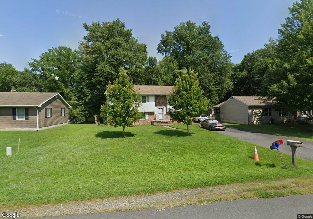
724 Mason Rd Stevensville, MD 21666
Estimated Value: $363,000 - $499,000
Studio
2
Baths
1,136
Sq Ft
$384/Sq Ft
Est. Value
About This Home
This home is located at 724 Mason Rd, Stevensville, MD 21666 and is currently estimated at $435,664, approximately $383 per square foot. 724 Mason Rd is a home located in Queen Anne's County with nearby schools including Kent Island Elementary School, Bayside Elementary School, and Stevensville Middle School.
Ownership History
Date
Name
Owned For
Owner Type
Purchase Details
Closed on
Nov 6, 2024
Sold by
Bradfield Mark T
Bought by
Uncle Mark Legacy Trust and Bradfield
Current Estimated Value
Purchase Details
Closed on
Jun 23, 1997
Sold by
Bradfield Mark T
Bought by
Bradfield Mark T
Purchase Details
Closed on
Sep 6, 1994
Sold by
George John L and George Marlene J
Bought by
Bradfield Mark T and Faas Holly L
Purchase Details
Closed on
Jun 24, 1987
Sold by
Roberts Jacquelynn M
Bought by
George John L and George Marlene J
Home Financials for this Owner
Home Financials are based on the most recent Mortgage that was taken out on this home.
Original Mortgage
$63,500
Interest Rate
10.44%
Create a Home Valuation Report for This Property
The Home Valuation Report is an in-depth analysis detailing your home's value as well as a comparison with similar homes in the area
Home Values in the Area
Average Home Value in this Area
Purchase History
| Date | Buyer | Sale Price | Title Company |
|---|---|---|---|
| Uncle Mark Legacy Trust | -- | None Listed On Document | |
| Uncle Mark Legacy Trust | -- | None Listed On Document | |
| Bradfield Mark T | -- | -- | |
| Bradfield Mark T | $119,900 | -- | |
| George John L | $84,000 | -- |
Source: Public Records
Mortgage History
| Date | Status | Borrower | Loan Amount |
|---|---|---|---|
| Previous Owner | George John L | $63,500 | |
| Closed | Bradfield Mark T | -- |
Source: Public Records
Tax History
| Year | Tax Paid | Tax Assessment Tax Assessment Total Assessment is a certain percentage of the fair market value that is determined by local assessors to be the total taxable value of land and additions on the property. | Land | Improvement |
|---|---|---|---|---|
| 2025 | $3,258 | $357,167 | $0 | $0 |
| 2024 | $3,097 | $334,733 | $0 | $0 |
| 2023 | $2,942 | $312,300 | $166,000 | $146,300 |
| 2022 | $2,931 | $311,133 | $0 | $0 |
| 2021 | $2,938 | $309,967 | $0 | $0 |
| 2020 | $2,938 | $308,800 | $181,000 | $127,800 |
| 2019 | $2,803 | $298,833 | $0 | $0 |
| 2018 | $2,674 | $288,867 | $0 | $0 |
| 2017 | $2,551 | $278,900 | $0 | $0 |
| 2016 | -- | $262,033 | $0 | $0 |
| 2015 | $2,646 | $245,167 | $0 | $0 |
| 2014 | $2,646 | $228,300 | $0 | $0 |
Source: Public Records
Map
Nearby Homes
- 620 Old Love Point Rd
- 808 Cloverfields Dr
- 716 Cloverfields Dr
- 704 Cloverfields Dr
- 932 Kimberly Way
- 822 Kimberly Way
- 255 Redstart Dr
- 259 Redstart Dr
- 141 Redstart Dr
- 922 Petinot Place
- 719 Warbler Way
- 906 Petinot Place
- 719 Warbler Way
- 630 Warbler Way Unit 2212
- 539 Warbler Way
- 539 Warbler Way
- 121 Kinglet Ct
- 110 Kinglet Ct
- 438 Web Foot Ln
- 630 Warbler Way Unit 2224
Your Personal Tour Guide
Ask me questions while you tour the home.