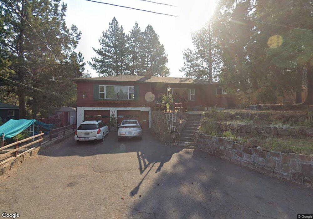
724 NE 11th St Bend, OR 97701
Orchard District NeighborhoodEstimated Value: $710,000 - $859,000
4
Beds
2
Baths
2,594
Sq Ft
$297/Sq Ft
Est. Value
About This Home
This home is located at 724 NE 11th St, Bend, OR 97701 and is currently estimated at $769,143, approximately $296 per square foot. 724 NE 11th St is a home located in Deschutes County with nearby schools including Juniper Elementary School, Pilot Butte Middle School, and Bend Senior High School.
Ownership History
Date
Name
Owned For
Owner Type
Purchase Details
Closed on
Jun 20, 2017
Sold by
Scott Thomas B
Bought by
Scott Thomas B and Scott Family Trust
Current Estimated Value
Purchase Details
Closed on
Jul 8, 2009
Sold by
Scott Thomas B and Scott Maureen E
Bought by
Scott Thomas B
Home Financials for this Owner
Home Financials are based on the most recent Mortgage that was taken out on this home.
Original Mortgage
$200,000
Interest Rate
5.25%
Mortgage Type
Stand Alone Refi Refinance Of Original Loan
Create a Home Valuation Report for This Property
The Home Valuation Report is an in-depth analysis detailing your home's value as well as a comparison with similar homes in the area
Home Values in the Area
Average Home Value in this Area
Purchase History
| Date | Buyer | Sale Price | Title Company |
|---|---|---|---|
| Scott Thomas B | -- | None Available | |
| Scott Thomas B | -- | Accommodation |
Source: Public Records
Mortgage History
| Date | Status | Borrower | Loan Amount |
|---|---|---|---|
| Closed | Scott Thomas B | $200,000 |
Source: Public Records
Tax History
| Year | Tax Paid | Tax Assessment Tax Assessment Total Assessment is a certain percentage of the fair market value that is determined by local assessors to be the total taxable value of land and additions on the property. | Land | Improvement |
|---|---|---|---|---|
| 2025 | $4,015 | $237,650 | -- | -- |
| 2024 | $3,863 | $230,730 | -- | -- |
| 2023 | $3,581 | $224,010 | $0 | $0 |
| 2022 | $3,341 | $211,160 | $0 | $0 |
| 2021 | $3,346 | $205,010 | $0 | $0 |
| 2020 | $3,175 | $205,010 | $0 | $0 |
| 2019 | $3,086 | $199,040 | $0 | $0 |
| 2018 | $2,999 | $193,250 | $0 | $0 |
| 2017 | $2,911 | $187,630 | $0 | $0 |
| 2016 | $2,776 | $182,170 | $0 | $0 |
| 2015 | $2,700 | $176,870 | $0 | $0 |
| 2014 | $2,620 | $171,720 | $0 | $0 |
Source: Public Records
Map
Nearby Homes
- 924 NE 9th St
- 438 NE 9th St
- 775 NE Franklin Ave
- 1119 NE 9th St
- 1154 NE 9th St
- 649 NE Kearney Ave
- 429 NE Irving Ave
- 1540 NE Bear Creek Rd
- 1532 NE 9th St
- 132 SE 16th St
- 468 NE Olney Ave
- 3843 NE Petrosa Ave
- 1419 NE Lucinda Ct
- 832 NE Revere Ave
- 98 NE Telima Ln
- 530 SE Centennial St Unit 524,526,528,530
- 1696 NE Lotus Dr
- 268 SE 15th St Unit 268/270
- 161 SE Rice Way
- 642 NE Seward Ave
- 752 NE 11th St
- 708 NE 11th St
- 731 NE 12th St
- 745 NE 12th St
- 735 NE 11th St
- 755 NE 12th St
- 723 NE 11th St
- 713 NE 12th St
- 743 NE 11th St
- 1035 NE Hawthorne Ave
- 711 NE 11th St
- 672 NE 11th St
- 806 NE 11th St
- 665 NE 12th St
- 667 NE 11th St
- 807 NE 12th St
- 736 NE 10th St
- 742 NE 12th St
- 1036 NE Hawthorne Ave
- 714 NE 10th St
Your Personal Tour Guide
Ask me questions while you tour the home.