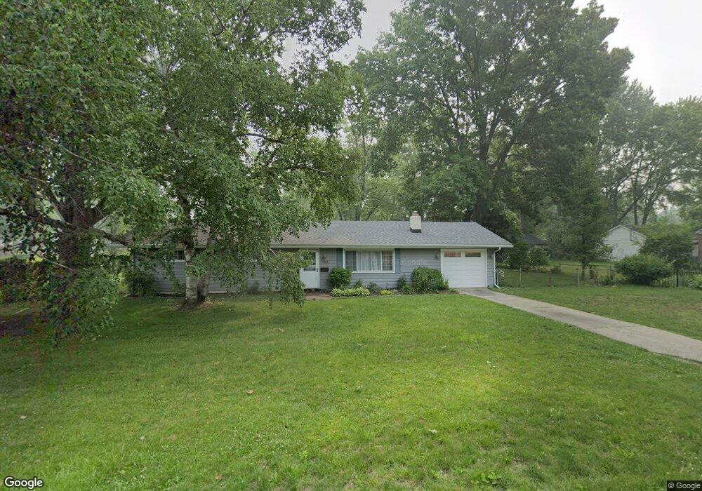
724 Rochelle Rd Toledo, OH 43615
Reynolds Corners NeighborhoodEstimated Value: $152,466 - $179,000
3
Beds
1
Bath
1,458
Sq Ft
$114/Sq Ft
Est. Value
About This Home
This home is located at 724 Rochelle Rd, Toledo, OH 43615 and is currently estimated at $166,867, approximately $114 per square foot. 724 Rochelle Rd is a home located in Lucas County with nearby schools including McTigue Elementary School, Rogers High School, and Horizon Science Academy-Springfield.
Ownership History
Date
Name
Owned For
Owner Type
Purchase Details
Closed on
Nov 12, 2004
Sold by
Bengela Martin and Bengela Susan
Bought by
Bengela Ann M
Current Estimated Value
Home Financials for this Owner
Home Financials are based on the most recent Mortgage that was taken out on this home.
Original Mortgage
$50,000
Interest Rate
5.86%
Mortgage Type
Purchase Money Mortgage
Create a Home Valuation Report for This Property
The Home Valuation Report is an in-depth analysis detailing your home's value as well as a comparison with similar homes in the area
Home Values in the Area
Average Home Value in this Area
Purchase History
| Date | Buyer | Sale Price | Title Company |
|---|---|---|---|
| Bengela Ann M | $90,000 | -- |
Source: Public Records
Mortgage History
| Date | Status | Borrower | Loan Amount |
|---|---|---|---|
| Closed | Bengela Ann M | $50,000 |
Source: Public Records
Tax History Compared to Growth
Tax History
| Year | Tax Paid | Tax Assessment Tax Assessment Total Assessment is a certain percentage of the fair market value that is determined by local assessors to be the total taxable value of land and additions on the property. | Land | Improvement |
|---|---|---|---|---|
| 2024 | $839 | $26,775 | $4,725 | $22,050 |
| 2023 | $1,776 | $27,440 | $4,095 | $23,345 |
| 2022 | $1,766 | $27,440 | $4,095 | $23,345 |
| 2021 | $1,825 | $27,440 | $4,095 | $23,345 |
| 2020 | $1,708 | $22,505 | $3,360 | $19,145 |
| 2019 | $1,656 | $22,505 | $3,360 | $19,145 |
| 2018 | $1,676 | $22,505 | $3,360 | $19,145 |
| 2017 | $1,689 | $22,015 | $3,290 | $18,725 |
| 2016 | $1,689 | $62,900 | $9,400 | $53,500 |
| 2015 | $1,693 | $62,900 | $9,400 | $53,500 |
| 2014 | $1,385 | $22,020 | $3,290 | $18,730 |
| 2013 | $1,385 | $22,020 | $3,290 | $18,730 |
Source: Public Records
Map
Nearby Homes
- 1032 Saturn Dr
- 419 N Holland Sylvania Rd
- 312 Hayes Rd
- 5873 Nebraska Ave
- 6324 Bapst Ave
- 5805 Fryer Ave
- 1715 Brooklynn Park W
- 1709 Acorn Dr
- 428 Deline Dr
- 5845 Cook Dr
- 6106 Hill Ave
- 6339 Hill Ave
- 1911 N Holland Sylvania Rd
- 2004 Oakside Rd
- 4860 Airport Hwy
- 1966 Devinci Dr
- 2015 Oakside Rd
- 2010 Oakside Rd
- 127 N Dorcas Rd
- 6607 Hill Ave