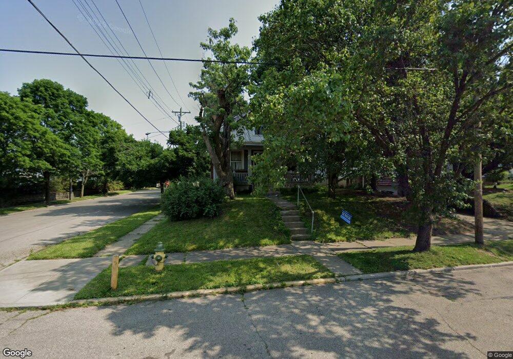
724 S Cooper Ave Cincinnati, OH 45215
Estimated Value: $135,323 - $202,000
3
Beds
1
Bath
914
Sq Ft
$178/Sq Ft
Est. Value
About This Home
This home is located at 724 S Cooper Ave, Cincinnati, OH 45215 and is currently estimated at $162,581, approximately $177 per square foot. 724 S Cooper Ave is a home located in Hamilton County with nearby schools including Lockland Elementary School, Lockland Middle School, and Lockland High School.
Ownership History
Date
Name
Owned For
Owner Type
Purchase Details
Closed on
Apr 23, 2004
Sold by
Renner Kathleen
Bought by
Menke Lawrence T
Current Estimated Value
Home Financials for this Owner
Home Financials are based on the most recent Mortgage that was taken out on this home.
Original Mortgage
$88,117
Outstanding Balance
$41,003
Interest Rate
5.5%
Mortgage Type
FHA
Estimated Equity
$121,578
Purchase Details
Closed on
Jun 6, 1997
Sold by
Carr Jeanne A and Carr James L
Bought by
Cox Ashland M
Home Financials for this Owner
Home Financials are based on the most recent Mortgage that was taken out on this home.
Original Mortgage
$22,500
Interest Rate
8.17%
Purchase Details
Closed on
Feb 26, 1996
Sold by
Carr Jeanne A and Carr Linda M
Bought by
Carr Jeanne A and Carr James L
Create a Home Valuation Report for This Property
The Home Valuation Report is an in-depth analysis detailing your home's value as well as a comparison with similar homes in the area
Home Values in the Area
Average Home Value in this Area
Purchase History
| Date | Buyer | Sale Price | Title Company |
|---|---|---|---|
| Menke Lawrence T | $89,500 | Title Resolutions | |
| Cox Ashland M | $61,500 | -- | |
| Carr Jeanne A | -- | -- |
Source: Public Records
Mortgage History
| Date | Status | Borrower | Loan Amount |
|---|---|---|---|
| Open | Menke Lawrence T | $88,117 | |
| Previous Owner | Cox Ashland M | $22,500 | |
| Closed | Cox Ashland M | $10,000 |
Source: Public Records
Tax History Compared to Growth
Tax History
| Year | Tax Paid | Tax Assessment Tax Assessment Total Assessment is a certain percentage of the fair market value that is determined by local assessors to be the total taxable value of land and additions on the property. | Land | Improvement |
|---|---|---|---|---|
| 2024 | $1,634 | $29,834 | $3,325 | $26,509 |
| 2023 | $1,647 | $29,834 | $3,325 | $26,509 |
| 2022 | $1,676 | $24,329 | $2,513 | $21,816 |
| 2021 | $1,668 | $24,329 | $2,513 | $21,816 |
| 2020 | $1,455 | $24,329 | $2,513 | $21,816 |
| 2019 | $1,481 | $23,170 | $2,394 | $20,776 |
| 2018 | $1,459 | $23,170 | $2,394 | $20,776 |
| 2017 | $1,371 | $23,170 | $2,394 | $20,776 |
| 2016 | $1,284 | $22,016 | $2,447 | $19,569 |
| 2015 | $1,206 | $22,016 | $2,447 | $19,569 |
| 2014 | $1,205 | $22,016 | $2,447 | $19,569 |
| 2013 | $1,277 | $23,930 | $2,660 | $21,270 |
Source: Public Records
Map
Nearby Homes
- 715 Worthington Ave
- 214 Harriet St
- 127 Locust St
- 452 W Wyoming Ave
- 412 N Wayne Ave
- 218 Lock St
- 217 W Wyoming Ave
- 8442 Anthony Wayne Ave
- 8421 Wiswell St
- 410 Rolef Ave
- 81 Hillsdale Ave
- 334 Williams St
- 8410 Curzon Ave
- 20 Sherry Rd
- 230 Carthage Ave
- 740 Springfield Pike
- 405 Mcewing Dr
- 423 Arlington Ave
- 415 Arlington Ave
- 310 Westview Ave
- 722 S Cooper Ave
- 720 S Cooper Ave
- 226 Hosea Ave
- 716 S Cooper Ave
- 224 Hosea Ave
- 712 S Cooper Ave
- 723 S Cooper Ave
- 721 S Cooper Ave
- 715 S Cooper Ave
- 222 Hosea St
- 222 Hosea Ave
- 707 S Cooper Ave
- 225 Harriet St
- 218 Hosea Ave
- 704 S Cooper Ave
- 703 S Cooper Ave
- 800 S Cooper Ave
- 221 Harriet St
- 216 Hosea Ave
- 219 Harriet St