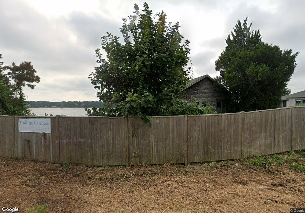
724 State Hwy Rte 6 Wellfleet, MA 2667
--
Bed
--
Bath
3,108
Sq Ft
4.21
Acres
About This Home
This home is located at 724 State Hwy Rte 6, Wellfleet, MA 2667. 724 State Hwy Rte 6 is a home located in Barnstable County with nearby schools including Wellfleet Elementary School, Nauset Regional Middle School, and Nauset Regional High School.
Ownership History
Date
Name
Owned For
Owner Type
Purchase Details
Closed on
May 20, 1998
Sold by
Vomvouras Paul J and Vomvouras Margaret
Bought by
Wendon Rt and Horton
Home Financials for this Owner
Home Financials are based on the most recent Mortgage that was taken out on this home.
Original Mortgage
$170,000
Outstanding Balance
$33,015
Interest Rate
7.03%
Mortgage Type
Commercial
Create a Home Valuation Report for This Property
The Home Valuation Report is an in-depth analysis detailing your home's value as well as a comparison with similar homes in the area
Home Values in the Area
Average Home Value in this Area
Purchase History
| Date | Buyer | Sale Price | Title Company |
|---|---|---|---|
| Wendon Rt | $240,000 | -- |
Source: Public Records
Mortgage History
| Date | Status | Borrower | Loan Amount |
|---|---|---|---|
| Open | Wendon Rt | $170,000 |
Source: Public Records
Tax History Compared to Growth
Tax History
| Year | Tax Paid | Tax Assessment Tax Assessment Total Assessment is a certain percentage of the fair market value that is determined by local assessors to be the total taxable value of land and additions on the property. | Land | Improvement |
|---|---|---|---|---|
| 2025 | $7,312 | $1,099,900 | $530,100 | $569,800 |
| 2024 | $7,312 | $1,082,700 | $514,700 | $568,000 |
| 2023 | $7,312 | $1,066,100 | $504,500 | $561,600 |
| 2022 | $0 | $990,200 | $458,000 | $532,200 |
| 2021 | $0 | $979,400 | $458,000 | $521,400 |
| 2020 | $7,312 | $977,600 | $458,000 | $519,600 |
| 2019 | $7,183 | $970,700 | $449,600 | $521,100 |
| 2018 | $6,921 | $963,900 | $449,600 | $514,300 |
| 2017 | $5,871 | $866,000 | $449,600 | $416,400 |
| 2016 | $5,602 | $820,200 | $402,000 | $418,200 |
| 2015 | $5,537 | $816,600 | $0 | $0 |
Source: Public Records
Map
Nearby Homes
- 90 Blue Heron Rd
- 40 Leilla Rich Dr
- 55 Harvard St
- 95 Barker St
- 90 Ring Rd
- 25 1st Ave
- 60 Long Ave Unit E
- 176 Village Ln
- 210 West Rd Unit B9
- 210 West Rd Unit M-16
- 11 Whelpley Rd
- 140 Harvest Rd
- 245 Paine Hollow Rd
- 90 Paine Hollow Rd
- 100 Gigi Ln
- 190 Meadow Ave W
- 5470 State Hwy
- 675 N Sunken Meadow Rd
- 41-43 9th St
- 1937 State Hwy Rte 6 Unit 8
- 30 Josem Way
- 768 State Hwy Rte 6
- 25 Josem Way
- 10 Kear Cir
- 693 State Hwy Rte 6
- 10 Josem Way
- 757 State Hwy Rte 6
- 735 State Hwy Rte 6
- 15 Kear Cir
- 752 State Hwy Unit 10
- 650 State Hwy
- 650 State Hwy
- 650 State Hwy
- 0 Rte 6
- 650 State Hwy Rte 6
- 65 Lieutenant Island Rd
- 814 State Hwy Rte 6
- 25 Lieutenant Island Rd
- 633 U S 6 Unit 7
- 633 U S 6 Unit 5