724 Windy Rose Dr Estes Park, CO 80517
Estimated Value: $1,072,000 - $1,517,000
3
Beds
2
Baths
3,052
Sq Ft
$425/Sq Ft
Est. Value
About This Home
This home is located at 724 Windy Rose Dr, Estes Park, CO 80517 and is currently estimated at $1,296,068, approximately $424 per square foot. 724 Windy Rose Dr is a home located in Larimer County with nearby schools including Estes Park K-5 School, Estes Park Options School, and Estes Park Middle School.
Ownership History
Date
Name
Owned For
Owner Type
Purchase Details
Closed on
Apr 25, 2023
Sold by
Kell Kreg D
Bought by
Kell Family Trust
Current Estimated Value
Purchase Details
Closed on
Mar 22, 2023
Sold by
Kell Kreg D and William R Good Trust
Bought by
Kell Kreg D and Kell Keleigh A
Purchase Details
Closed on
Oct 1, 2021
Sold by
William R Good Trust and Good William R
Bought by
Karen Good Trust and Good
Home Financials for this Owner
Home Financials are based on the most recent Mortgage that was taken out on this home.
Original Mortgage
$625,000
Interest Rate
2.25%
Mortgage Type
Purchase Money Mortgage
Purchase Details
Closed on
Aug 31, 1998
Sold by
Good William R
Bought by
Good William R and Good Karen A
Purchase Details
Closed on
Apr 27, 1998
Sold by
Good William R
Bought by
Good William R and Good Karen A
Create a Home Valuation Report for This Property
The Home Valuation Report is an in-depth analysis detailing your home's value as well as a comparison with similar homes in the area
Home Values in the Area
Average Home Value in this Area
Purchase History
| Date | Buyer | Sale Price | Title Company |
|---|---|---|---|
| Kell Family Trust | -- | None Listed On Document | |
| Kell Kreg D | -- | None Listed On Document | |
| Kell Kreg D | -- | -- | |
| Karen Good Trust | $125,000 | None Listed On Document | |
| Good William R | -- | -- | |
| Good William R | -- | -- |
Source: Public Records
Mortgage History
| Date | Status | Borrower | Loan Amount |
|---|---|---|---|
| Previous Owner | Karen Good Trust | $625,000 |
Source: Public Records
Tax History Compared to Growth
Tax History
| Year | Tax Paid | Tax Assessment Tax Assessment Total Assessment is a certain percentage of the fair market value that is determined by local assessors to be the total taxable value of land and additions on the property. | Land | Improvement |
|---|---|---|---|---|
| 2025 | $5,056 | $74,471 | $28,140 | $46,331 |
| 2024 | $4,525 | $74,471 | $28,140 | $46,331 |
| 2022 | $3,296 | $51,166 | $13,831 | $37,335 |
| 2021 | $3,384 | $52,639 | $14,229 | $38,410 |
| 2020 | $3,123 | $48,513 | $14,229 | $34,284 |
| 2019 | $3,100 | $48,513 | $14,229 | $34,284 |
| 2018 | $2,707 | $42,206 | $13,320 | $28,886 |
| 2017 | $2,722 | $42,206 | $13,320 | $28,886 |
| 2016 | $2,566 | $42,140 | $11,781 | $30,359 |
| 2015 | $2,534 | $42,140 | $11,780 | $30,360 |
| 2014 | $2,301 | $39,860 | $14,330 | $25,530 |
Source: Public Records
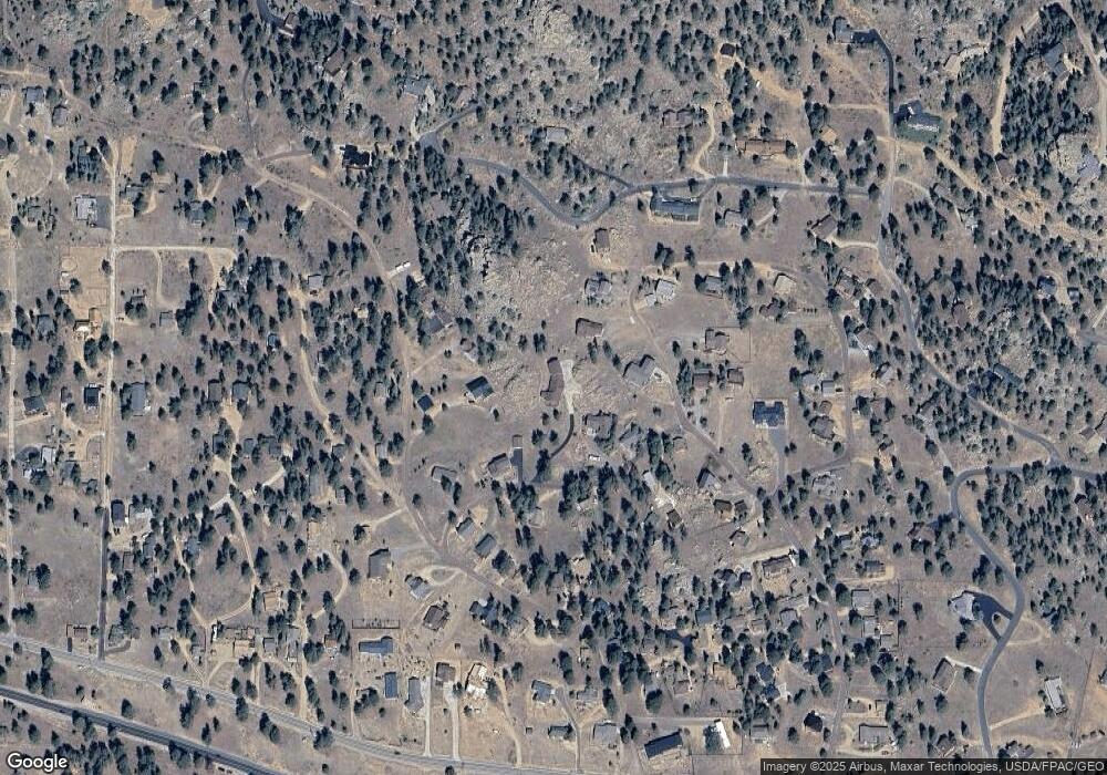
Map
Nearby Homes
- 739 Larkspur Rd
- 725 Upper Larkspur Ln
- 810 Larkspur Rd
- 811 Larkspur Rd
- 1611 High Dr
- 831 Larkspur Rd
- 1401 High Dr
- 1565 Highway 66 Unit 46
- 1565 Highway 66 Unit 33
- 1565 Highway 66 Unit 27
- 1565 Highway 66 Unit 49
- 1565 Highway 66 Unit 28
- 1575 Lower Broadview Rd
- 870 Moraine Ave
- 1263 Broadview
- 1141 Wallace Ln
- 683 Cedar Ridge Cir Unit 2
- 677 Cedar Ridge Cir Unit 5
- 658 Cedar Ridge Cir Unit 1
- 1420 Marys Lake Rd
- 1466 Narcissus Dr
- 732 Columbine Dr
- 1484 Narcissus Dr
- 700 Larkspur Rd
- 740 Columbine Dr
- 680 Larkspur Rd
- 1464 Narcissus Dr
- 716 Columbine Dr
- 743 Columbine Dr
- 1471 Narcissus Dr
- 709 Columbine Dr
- 748 Columbine Dr
- 727 Columbine Dr
- 660 Larkspur Rd
- 749 Columbine Dr
- 1479 Narcissus Dr
- 1454 Narcissus Dr
- 731 Columbine Dr
- 700 Columbine Dr
- 701 Columbine Dr