7240 E Crossover Rd South Range, WI 54874
Estimated Value: $380,000 - $436,000
Studio
--
Bath
--
Sq Ft
653,400
Sq Ft Lot
About This Home
This home is located at 7240 E Crossover Rd, South Range, WI 54874 and is currently estimated at $412,002. 7240 E Crossover Rd is a home with nearby schools including Northwestern High School.
Ownership History
Date
Name
Owned For
Owner Type
Purchase Details
Closed on
Sep 27, 2013
Sold by
Clauer Duane and Clauer Miyuki
Bought by
Eberhardt Paul D and Eberhardt Beth I
Current Estimated Value
Purchase Details
Closed on
Sep 9, 2013
Sold by
Clauer Brian and Clauer Susan
Bought by
Clauer Duane and Clauer Miyuki
Purchase Details
Closed on
Feb 10, 2012
Sold by
Carlson Janna
Bought by
Federal Home Loan Mortgage Corporation
Purchase Details
Closed on
Aug 10, 2006
Sold by
Carlson Gerald W
Bought by
Carlson Gerald W
Create a Home Valuation Report for This Property
The Home Valuation Report is an in-depth analysis detailing your home's value as well as a comparison with similar homes in the area
Purchase History
| Date | Buyer | Sale Price | Title Company |
|---|---|---|---|
| Eberhardt Paul D | $185,000 | -- | |
| Clauer Duane | $165,000 | -- | |
| Federal Home Loan Mortgage Corporation | $161,400 | -- | |
| Carlson Gerald W | -- | -- |
Source: Public Records
Tax History
| Year | Tax Paid | Tax Assessment Tax Assessment Total Assessment is a certain percentage of the fair market value that is determined by local assessors to be the total taxable value of land and additions on the property. | Land | Improvement |
|---|---|---|---|---|
| 2024 | $3,475 | $237,400 | $17,900 | $219,500 |
| 2023 | $3,411 | $237,400 | $17,900 | $219,500 |
| 2022 | $3,162 | $237,400 | $17,900 | $219,500 |
| 2021 | $3,105 | $237,400 | $17,900 | $219,500 |
| 2020 | $2,658 | $175,900 | $8,600 | $167,300 |
| 2019 | $2,628 | $175,900 | $8,600 | $167,300 |
| 2018 | $2,764 | $175,900 | $8,600 | $167,300 |
| 2017 | $2,948 | $175,900 | $8,600 | $167,300 |
| 2016 | $3,106 | $175,900 | $8,600 | $167,300 |
| 2015 | $3,181 | $167,300 | $8,600 | $167,300 |
| 2014 | $3,181 | $175,900 | $8,600 | $167,300 |
| 2013 | $3,175 | $176,000 | $8,700 | $167,300 |
Source: Public Records
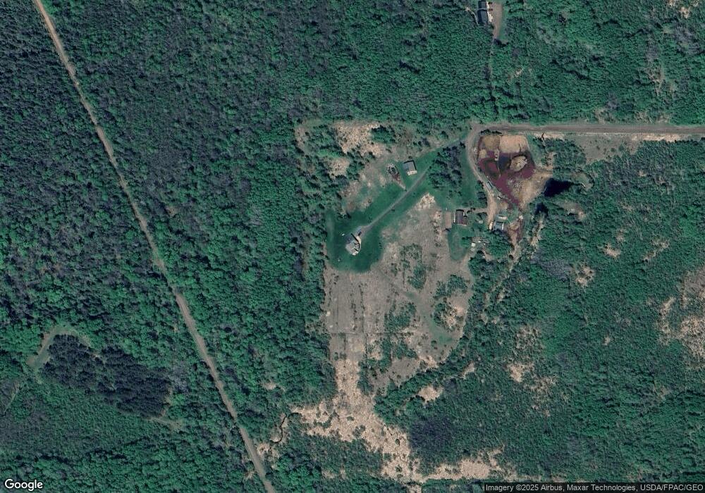
Map
Nearby Homes
- 6474 S Jacksino Rd
- 5138 S County Rd E
- 2910 County Rd E
- 6659 E County Road B
- 8562 Kent Rd
- 6526 S County Rd E
- 6491 S Old Lyman Lake Rd
- XXXX Lackson Rd
- 6692 E County Road C
- 4390 S Kellogg Rd Unit Town of Amnicon
- 4390 S Kellogg Rd
- 5600 Otto Rd
- 8148 E Spaulding Rd
- Lot 2 40 acres County Road L
- Lot 1 County Road L
- Lot 1 40 acres County Road L
- 5600 Otto Rd
- 4XXX S County Road U
- 59XX Tri Lakes Rd
- 9377 (Lot 2) Wood Rd
- 7242 E Crossover Rd
- 7249 E Crossover Rd
- 7240 E County Road V
- 7282 E County Road V
- 7386 E Crossover Rd
- 7389 E Crossover Rd
- 7145 E County Road V
- 7100 E County Road V
- 7078 E County Road V
- 0 Neuman Rd Unit 3693923
- 0 Neuman Rd Unit 815154
- 6114 S Pine Grove Rd
- 7079 E County Road V
- 6170 S Pine Grove Rd
- 6008 S Pine Grove Rd
- 7473 E Crossover Rd
- 6037 S Pine Grove Rd
- 0 Pine Grove Rd
- 7462 E County Road V
- 7009 E County Road V
Your Personal Tour Guide
Ask me questions while you tour the home.