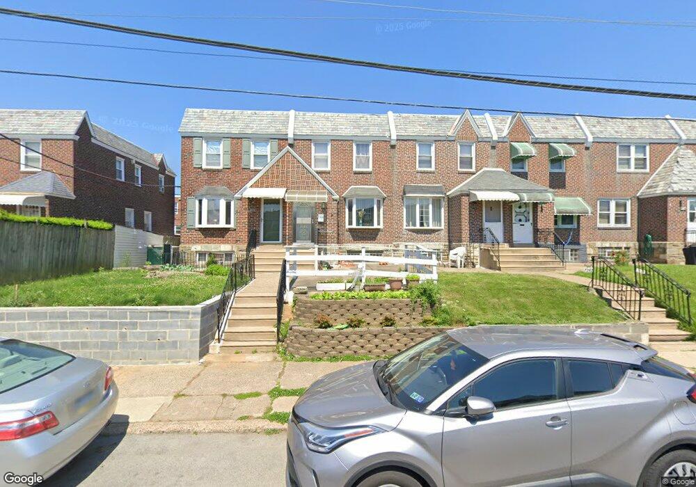
7240 Large St Philadelphia, PA 19149
Castor Gardens NeighborhoodEstimated Value: $232,760 - $267,000
3
Beds
2
Baths
1,152
Sq Ft
$214/Sq Ft
Est. Value
About This Home
This home is located at 7240 Large St, Philadelphia, PA 19149 and is currently estimated at $246,940, approximately $214 per square foot. 7240 Large St is a home located in Philadelphia County with nearby schools including Solomon Solis-Cohen School, Castor Gardens Middle School, and Northeast High School.
Ownership History
Date
Name
Owned For
Owner Type
Purchase Details
Closed on
May 12, 2011
Sold by
Wettrick Immaculate T
Bought by
Dong Xiufang
Current Estimated Value
Home Financials for this Owner
Home Financials are based on the most recent Mortgage that was taken out on this home.
Original Mortgage
$96,000
Outstanding Balance
$5,939
Interest Rate
4.94%
Mortgage Type
New Conventional
Estimated Equity
$241,001
Create a Home Valuation Report for This Property
The Home Valuation Report is an in-depth analysis detailing your home's value as well as a comparison with similar homes in the area
Home Values in the Area
Average Home Value in this Area
Purchase History
| Date | Buyer | Sale Price | Title Company |
|---|---|---|---|
| Dong Xiufang | $120,000 | None Available |
Source: Public Records
Mortgage History
| Date | Status | Borrower | Loan Amount |
|---|---|---|---|
| Open | Dong Xiufang | $96,000 |
Source: Public Records
Tax History Compared to Growth
Tax History
| Year | Tax Paid | Tax Assessment Tax Assessment Total Assessment is a certain percentage of the fair market value that is determined by local assessors to be the total taxable value of land and additions on the property. | Land | Improvement |
|---|---|---|---|---|
| 2025 | $2,672 | $230,800 | $46,160 | $184,640 |
| 2024 | $2,672 | $230,800 | $46,160 | $184,640 |
| 2023 | $2,672 | $190,900 | $38,180 | $152,720 |
| 2022 | $1,250 | $145,900 | $38,180 | $107,720 |
| 2021 | $1,880 | $0 | $0 | $0 |
| 2020 | $1,880 | $0 | $0 | $0 |
| 2019 | $1,804 | $0 | $0 | $0 |
| 2018 | $1,687 | $0 | $0 | $0 |
| 2017 | $1,687 | $0 | $0 | $0 |
| 2016 | $1,267 | $0 | $0 | $0 |
| 2015 | $1,213 | $0 | $0 | $0 |
| 2014 | -- | $120,500 | $20,060 | $100,440 |
| 2012 | -- | $15,584 | $1,485 | $14,099 |
Source: Public Records
Map
Nearby Homes
- 7230 Horrocks St
- 7219 Rutland St
- 7123 Souder St
- 7123 Castor Ave
- 7247 Eastwood St
- 7231 Eastwood St
- 7050 Lynford St
- 7039 Kindred St
- 1425 Friendship St
- 7034 Souder St
- 7028 Horrocks St
- 7035 Rutland St
- 1405 Saint Vincent St
- 1403 Englewood St
- 7244 Bustleton Ave
- 7019 Rutland St
- 1352 Englewood St
- 7155 Saul St
- 7153 Saul St
- 6946 Kindred St