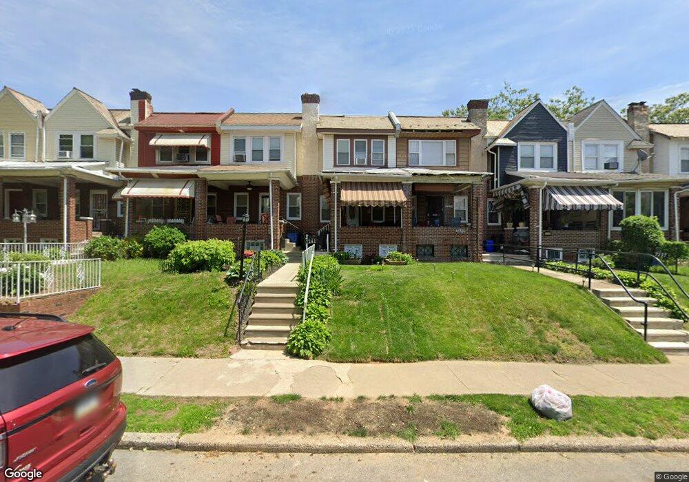
7241 N 21st St Philadelphia, PA 19138
West Oak Lane NeighborhoodEstimated Value: $184,000 - $229,000
3
Beds
1
Bath
1,030
Sq Ft
$198/Sq Ft
Est. Value
About This Home
This home is located at 7241 N 21st St, Philadelphia, PA 19138 and is currently estimated at $203,530, approximately $197 per square foot. 7241 N 21st St is a home located in Philadelphia County with nearby schools including William Rowen School, Gen. Louis Wagner Middle School, and Martin Luther King High School.
Ownership History
Date
Name
Owned For
Owner Type
Purchase Details
Closed on
May 30, 2008
Sold by
Payne Herbert L
Bought by
Stansbury Carter Phyllis E
Current Estimated Value
Home Financials for this Owner
Home Financials are based on the most recent Mortgage that was taken out on this home.
Original Mortgage
$116,176
Outstanding Balance
$74,778
Interest Rate
6.11%
Mortgage Type
FHA
Estimated Equity
$128,752
Purchase Details
Closed on
Aug 23, 2007
Sold by
Obrien Lorraine and Estate Of Genevieve Gorchinsky
Bought by
Payne Herbert L
Home Financials for this Owner
Home Financials are based on the most recent Mortgage that was taken out on this home.
Original Mortgage
$65,000
Interest Rate
6.74%
Mortgage Type
Purchase Money Mortgage
Create a Home Valuation Report for This Property
The Home Valuation Report is an in-depth analysis detailing your home's value as well as a comparison with similar homes in the area
Home Values in the Area
Average Home Value in this Area
Purchase History
| Date | Buyer | Sale Price | Title Company |
|---|---|---|---|
| Stansbury Carter Phyllis E | $118,000 | First American Title Ins Co | |
| Payne Herbert L | $45,000 | None Available |
Source: Public Records
Mortgage History
| Date | Status | Borrower | Loan Amount |
|---|---|---|---|
| Open | Stansbury Carter Phyllis E | $116,176 | |
| Previous Owner | Payne Herbert L | $65,000 |
Source: Public Records
Tax History Compared to Growth
Tax History
| Year | Tax Paid | Tax Assessment Tax Assessment Total Assessment is a certain percentage of the fair market value that is determined by local assessors to be the total taxable value of land and additions on the property. | Land | Improvement |
|---|---|---|---|---|
| 2025 | $2,114 | $183,900 | $36,780 | $147,120 |
| 2024 | $2,114 | $183,900 | $36,780 | $147,120 |
| 2023 | $2,114 | $151,000 | $30,200 | $120,800 |
| 2022 | $1,447 | $151,000 | $30,200 | $120,800 |
| 2021 | $1,447 | $0 | $0 | $0 |
| 2020 | $1,447 | $0 | $0 | $0 |
| 2019 | $1,512 | $0 | $0 | $0 |
| 2018 | $1,600 | $0 | $0 | $0 |
| 2017 | $1,600 | $0 | $0 | $0 |
| 2016 | $1,600 | $0 | $0 | $0 |
| 2015 | $1,532 | $0 | $0 | $0 |
| 2014 | -- | $114,300 | $13,806 | $100,494 |
| 2012 | -- | $14,944 | $2,935 | $12,009 |
Source: Public Records
Map
Nearby Homes
- 1996 73rd Ave
- 7159 N 20th St
- 7188 N Uber St
- 1979 73rd Ave
- 1975 73rd Ave
- 7245 Ogontz Ave
- 1980 Penfield St
- 7206 Forrest Ave
- 7092 Forrest Ave
- 7321 Sommers Rd
- 1911 72nd Ave
- 1947 Penfield St
- 1847 Plymouth St
- 7413 Sommers Rd
- 7153 N 19th St
- 1837 73rd Ave
- 1825 Dallas St
- 1839 E Pastorius St
- 1815 Elston St
- 7520 N 20th St