Estimated Value: $460,000 - $717,000
About This Home
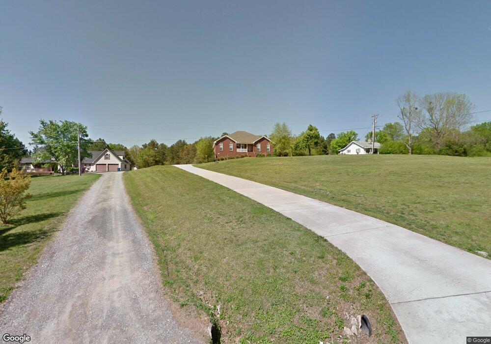
This home is located at 7241 Simpson Point Rd, Grant, AL 35747 and is currently estimated at $559,102, approximately $196 per square foot. 7241 Simpson Point Rd is a home located in Marshall County with nearby schools including Kate Duncan Smith DAR Elementary School, Kate Duncan Smith DAR Middle School, and Kate Duncan Smith DAR High School.
Ownership History
Purchase Details
Home Financials for this Owner
Home Financials are based on the most recent Mortgage that was taken out on this home.Purchase Details
Purchase Details
Purchase Details
Purchase History
We collect this data history from publicly available records. To have your information removed, we recommend requesting removal directly through your county’s website.
| Date | Buyer | Sale Price | Title Company |
|---|---|---|---|
| Cooper Monica | -- | -- | |
| Campbell Steven | $255,100 | None Available | |
| Campbell Steven | $22,500 | None Available | |
| Campbell Steven | -- | None Available |
Mortgage History
We collect this data history from publicly available records. To have your information removed, we recommend requesting removal directly through your county’s website.
| Date | Status | Borrower | Loan Amount |
|---|---|---|---|
| Open | Cooper Monica | $43,350 | |
| Closed | Cooper Monica | -- |
Tax History
| Year | Tax Paid | Tax Assessment Tax Assessment Total Assessment is a certain percentage of the fair market value that is determined by local assessors to be the total taxable value of land and additions on the property. | Land | Improvement |
|---|---|---|---|---|
| 2024 | $1,914 | $49,680 | $0 | $0 |
| 2023 | $1,846 | $48,980 | $0 | $0 |
| 2022 | $1,818 | $48,280 | $0 | $0 |
| 2021 | $1,724 | $45,780 | $0 | $0 |
| 2020 | $1,386 | $36,760 | $0 | $0 |
| 2017 | $1,029 | $28,840 | $0 | $0 |
| 2015 | -- | $27,020 | $0 | $0 |
| 2014 | -- | $27,020 | $0 | $0 |
Map
- 8.7 acres Cathedral Caverns Hwy
- 2.90 acres-Lot2 Cathedral Caverns Hwy
- 2.90 acres-Lot1 Cathedral Caverns Hwy
- 2.95 acres-Lot3 Cathedral Caverns Hwy
- 2.25 acres-Lot4 Cathedral Caverns Hwy
- 3121 Cathedral Caverns Hwy
- 247 Raulston Ln
- 8500 Simpson Point Rd
- 36 Randles Rd
- 114 Davis Hill Rd
- 65 Campbell Rd
- Lot 5 White Elephant Rd
- 92 Payton Ln
- 244 Cherokee Ridge Rd
- 123 Emma Place
- 2270 Randles Rd
- 275 Emmett Ayers Rd
- 263 Emmett Ayers Rd
- 102 11th St W
- 2216 White Elephant Rd
- 7227 Simpson Point Rd
- 7383 Simpson Point Rd
- 7228 Simpson Point Rd
- 7258 Simpson Point Rd
- 7387 Simpson Point Rd
- 7471 Simpson Point Rd
- 7559 Simpson Point Rd
- 6975 Simpson Point Rd
- 7526 Simpson Point Rd
- 7557 Simpson Point Rd
- 148 Clark Rd
- 7561 Simpson Point Rd
- 6908 Simpson Point Rd
- 137 John Sutton Rd
- 7560 Simpson Point Rd
- 7585 Simpson Point Rd
- 130 Clark Rd
- 7574 Simpson Point Rd
- 139 Clark Rd
- 112 Clark Rd
Ask me questions while you tour the home.