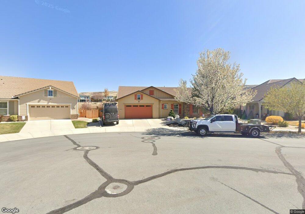
7242 Pilot Ct Sparks, NV 89436
Wingfield Springs NeighborhoodEstimated Value: $671,357 - $723,000
3
Beds
3
Baths
2,538
Sq Ft
$279/Sq Ft
Est. Value
About This Home
This home is located at 7242 Pilot Ct, Sparks, NV 89436 and is currently estimated at $708,839, approximately $279 per square foot. 7242 Pilot Ct is a home located in Washoe County with nearby schools including Dana Elementary School, Southern Elementary School, and Spanish Springs Elementary School.
Ownership History
Date
Name
Owned For
Owner Type
Purchase Details
Closed on
Apr 18, 2019
Sold by
Shelton Brian L and Shelton Dana K
Bought by
Shelton Brian Lee and Shelton Dana Kristine
Current Estimated Value
Purchase Details
Closed on
Mar 27, 2008
Sold by
Taylor Morrison Of Nevada Llc
Bought by
Shelton Brian L and Shelton Dana K
Home Financials for this Owner
Home Financials are based on the most recent Mortgage that was taken out on this home.
Original Mortgage
$387,903
Interest Rate
6.07%
Mortgage Type
FHA
Create a Home Valuation Report for This Property
The Home Valuation Report is an in-depth analysis detailing your home's value as well as a comparison with similar homes in the area
Home Values in the Area
Average Home Value in this Area
Purchase History
| Date | Buyer | Sale Price | Title Company |
|---|---|---|---|
| Shelton Brian Lee | -- | None Available | |
| Shelton Brian L | $394,000 | First American Title Reno |
Source: Public Records
Mortgage History
| Date | Status | Borrower | Loan Amount |
|---|---|---|---|
| Previous Owner | Shelton Brian L | $387,903 |
Source: Public Records
Tax History Compared to Growth
Tax History
| Year | Tax Paid | Tax Assessment Tax Assessment Total Assessment is a certain percentage of the fair market value that is determined by local assessors to be the total taxable value of land and additions on the property. | Land | Improvement |
|---|---|---|---|---|
| 2025 | $3,697 | $184,080 | $43,925 | $140,155 |
| 2024 | $3,697 | $178,775 | $37,940 | $140,835 |
| 2023 | $3,590 | $176,400 | $43,295 | $133,105 |
| 2022 | $3,486 | $146,039 | $35,490 | $110,549 |
| 2021 | $3,385 | $138,096 | $28,350 | $109,746 |
| 2020 | $3,286 | $137,577 | $27,860 | $109,717 |
| 2019 | $3,189 | $132,738 | $27,615 | $105,123 |
| 2018 | $3,097 | $123,054 | $20,545 | $102,509 |
| 2017 | $3,006 | $121,347 | $18,935 | $102,412 |
| 2016 | $2,930 | $116,300 | $17,185 | $99,115 |
| 2015 | $2,924 | $108,389 | $17,150 | $91,239 |
| 2014 | $2,839 | $89,299 | $13,265 | $76,034 |
| 2013 | -- | $76,065 | $10,780 | $65,285 |
Source: Public Records
Map
Nearby Homes
- 4541 Silian Ct
- 7262 Lacerta Dr
- 4560 Silian Ct
- 3644 Desert Fox Dr
- 7393 Star Vista Dr
- 3991 White Oak Ln
- 7422 Windswept Loop
- 7220 Windswept Loop
- 7480 Windswept Loop
- 7423 Comet Ct
- 4776 Tobago Dr
- 4790 Tobago Dr
- 4834 Jacmel Ct
- 7483 Europa Dr
- 4501 Cobra Dr
- 7464 Europa Dr
- 7260 Treeline Ct
- 7003 Sacred Cir
- 3716 Early Dawn Dr
- 6970 Rioja Ct
- 7232 Pilot Ct
- 7252 Pilot Ct
- 7222 Pilot Ct
- 7241 Pilot Ct
- 7251 Pilot Ct
- 7231 Pilot Ct
- 7212 Pilot Ct
- 7221 Pilot Ct
- 4386 Descent Dr
- 7211 Pilot Ct
- 4398 Descent Dr
- 7202 Pilot Ct
- 4414 Descent Ct
- 7201 Pilot Ct
- 3740 Desert Fox Dr
- 3750 Desert Fox Dr
- 4428 Descent Ct
- 3730 Desert Fox Dr
- 3760 Desert Fox Dr
- 3720 Desert Fox Dr