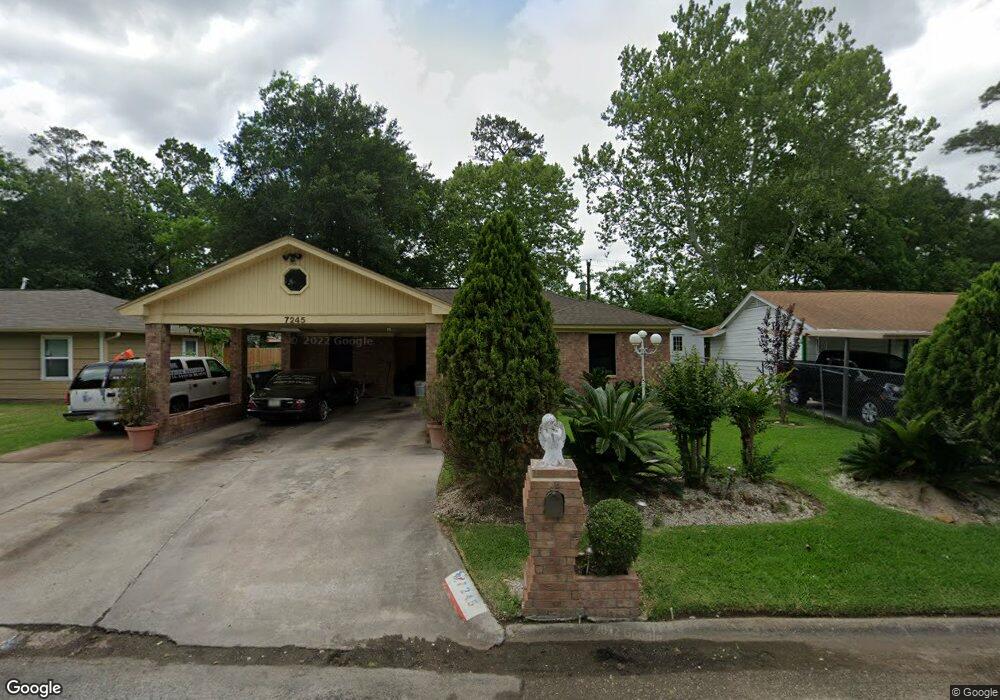
7245 Yoe St Houston, TX 77016
East Little York NeighborhoodEstimated Value: $183,243 - $210,000
3
Beds
1
Bath
1,866
Sq Ft
$105/Sq Ft
Est. Value
About This Home
This home is located at 7245 Yoe St, Houston, TX 77016 and is currently estimated at $196,061, approximately $105 per square foot. 7245 Yoe St is a home located in Harris County with nearby schools including Shadydale Elementary School, Forest Brook Middle, and North Forest High School.
Ownership History
Date
Name
Owned For
Owner Type
Purchase Details
Closed on
Jan 12, 2018
Sold by
Superioe One Homes Llc
Bought by
Douglas John A
Current Estimated Value
Purchase Details
Closed on
May 20, 2010
Sold by
Potts Bridget Denise
Bought by
Superior One Homes Builder Llc
Purchase Details
Closed on
Oct 14, 1996
Sold by
Gee Darrell Clark
Bought by
Potts Bridget Denise
Create a Home Valuation Report for This Property
The Home Valuation Report is an in-depth analysis detailing your home's value as well as a comparison with similar homes in the area
Home Values in the Area
Average Home Value in this Area
Purchase History
| Date | Buyer | Sale Price | Title Company |
|---|---|---|---|
| Douglas John A | -- | None Available | |
| Superior One Homes Builder Llc | -- | American Title Company | |
| Potts Bridget Denise | -- | Texas American Title Company |
Source: Public Records
Tax History Compared to Growth
Tax History
| Year | Tax Paid | Tax Assessment Tax Assessment Total Assessment is a certain percentage of the fair market value that is determined by local assessors to be the total taxable value of land and additions on the property. | Land | Improvement |
|---|---|---|---|---|
| 2025 | $3,062 | $159,948 | $52,200 | $107,748 |
| 2024 | $3,062 | $146,358 | $52,200 | $94,158 |
| 2023 | $3,062 | $175,124 | $43,200 | $131,924 |
| 2022 | $3,199 | $145,300 | $36,000 | $109,300 |
| 2021 | $2,958 | $126,924 | $27,000 | $99,924 |
| 2020 | $2,325 | $96,000 | $18,720 | $77,280 |
| 2019 | $2,682 | $126,035 | $12,312 | $113,723 |
| 2018 | $1,356 | $88,000 | $12,312 | $75,688 |
| 2017 | $2,225 | $88,000 | $12,312 | $75,688 |
| 2016 | $2,225 | $98,786 | $12,312 | $86,474 |
| 2015 | $1,436 | $72,812 | $12,312 | $60,500 |
| 2014 | $1,436 | $55,869 | $12,312 | $43,557 |
Source: Public Records
Map
Nearby Homes
- 7252 Parker Rd
- 7306 Parker Rd
- 7305 Yoe St
- 7220 Parker Rd
- 7234 Boggess Rd
- 7402 Yoe St
- 0 Bretshire Dr Unit 83088734
- 0 Bretshire Dr Unit 61965426
- 10120 Homestead Rd
- 10124 Homestead Rd
- 10128 Homestead Rd
- 7338 Bigwood St
- 7210 Colton St
- 10806 Bird of Paradise Ln
- 10808 Bird of Paradise Ln
- 10810 Bird of Paradise Ln
- 7242 Bretshire Dr
- 7218 Bretshire Dr
- 0 Wileyvale Rd Unit 37533417
- 0 Laura Koppe Rd Unit 64066450