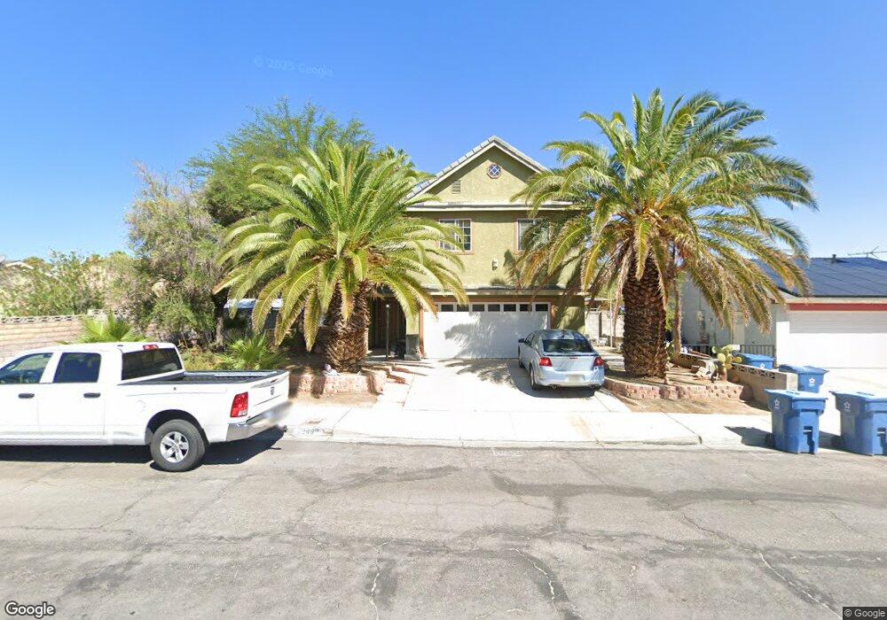
7246 Enterprise Dr Las Vegas, NV 89147
Estimated Value: $443,000 - $508,000
4
Beds
3
Baths
2,202
Sq Ft
$221/Sq Ft
Est. Value
About This Home
This home is located at 7246 Enterprise Dr, Las Vegas, NV 89147 and is currently estimated at $487,698, approximately $221 per square foot. 7246 Enterprise Dr is a home located in Clark County with nearby schools including Frank Kim Elementary School, Clifford J Lawrence Junior High School, and Durango High School.
Ownership History
Date
Name
Owned For
Owner Type
Purchase Details
Closed on
Oct 21, 1995
Sold by
Girardey Kenneth L and Girardey Estella F
Bought by
Smith James E and Smith Carol H Kelsey
Current Estimated Value
Purchase Details
Closed on
Aug 26, 1994
Sold by
Flihan June H
Bought by
Girardey Kenneth L and Girardey Estella F
Home Financials for this Owner
Home Financials are based on the most recent Mortgage that was taken out on this home.
Original Mortgage
$32,974
Interest Rate
8.8%
Mortgage Type
Seller Take Back
Create a Home Valuation Report for This Property
The Home Valuation Report is an in-depth analysis detailing your home's value as well as a comparison with similar homes in the area
Home Values in the Area
Average Home Value in this Area
Purchase History
| Date | Buyer | Sale Price | Title Company |
|---|---|---|---|
| Smith James E | $17,500 | Nevada Title Company | |
| Girardey Kenneth L | $48,000 | Stewart Title |
Source: Public Records
Mortgage History
| Date | Status | Borrower | Loan Amount |
|---|---|---|---|
| Previous Owner | Girardey Kenneth L | $32,974 |
Source: Public Records
Tax History Compared to Growth
Tax History
| Year | Tax Paid | Tax Assessment Tax Assessment Total Assessment is a certain percentage of the fair market value that is determined by local assessors to be the total taxable value of land and additions on the property. | Land | Improvement |
|---|---|---|---|---|
| 2025 | $2,598 | $90,724 | $38,150 | $52,574 |
| 2024 | $2,406 | $90,724 | $38,150 | $52,574 |
| 2023 | $2,406 | $84,400 | $33,250 | $51,150 |
| 2022 | $2,228 | $75,867 | $28,350 | $47,517 |
| 2021 | $2,095 | $71,312 | $25,550 | $45,762 |
| 2020 | $1,997 | $70,480 | $24,500 | $45,980 |
| 2019 | $1,872 | $68,611 | $22,750 | $45,861 |
| 2018 | $1,786 | $64,970 | $20,650 | $44,320 |
| 2017 | $1,501 | $51,163 | $18,550 | $32,613 |
| 2016 | $1,308 | $47,357 | $13,650 | $33,707 |
| 2015 | $1,305 | $44,350 | $10,850 | $33,500 |
| 2014 | $1,266 | $41,900 | $8,400 | $33,500 |
Source: Public Records
Map
Nearby Homes
- 4826 Castle Rock Ct
- 7296 Mission Hills Dr
- 7137 Enterprise Dr
- 7211 Mission Hills Dr
- 7132 Mission Hills Dr
- 7363 Mission Hills Dr
- 7131 Mission Hills Dr
- 7139 Mission Hills Dr
- 7024 Bright Springs Ct
- 4766 Knollwood Dr
- 7157 Mission Hills Dr
- 7068 Bright Springs Ct
- 4772 Yorkfield Cir
- 7061 Bright Springs Ct
- 7012 Bright Springs Ct
- 6902 Emerald Springs Ln
- 4844 Treetrunk Ave
- 6976 Emerald Springs Ln
- 7047 Mountain Meadow Ln
- 6974 Emerald Springs Ln
- 7236 Enterprise Dr
- 4858 Ashbrook Place
- 7237 Southpark Ct
- 4848 Ashbrook Place
- 7226 Enterprise Dr
- 7247 Southpark Ct
- 4840 Ashbrook Place
- 7227 Southpark Ct
- 7247 Enterprise Dr
- 7257 Enterprise Dr
- 7237 Enterprise Dr
- 7216 Enterprise Dr
- 4830 Ashbrook Place
- 7267 Enterprise Dr
- 7227 Enterprise Dr
- 7227 Enterprise Dr Unit n/a
- 7217 Southpark Ct
- 7246 Southpark Ct
- 4853 Ashbrook Place
- 7206 Enterprise Dr