7248 W 550 S Delphi, IN 46923
Estimated Value: $346,000 - $692,602
4
Beds
3
Baths
2,855
Sq Ft
$186/Sq Ft
Est. Value
About This Home
This home is located at 7248 W 550 S, Delphi, IN 46923 and is currently estimated at $529,651, approximately $185 per square foot. 7248 W 550 S is a home located in Carroll County with nearby schools including Rossville Elementary School and Rossville Middle/High School.
Ownership History
Date
Name
Owned For
Owner Type
Purchase Details
Closed on
Feb 22, 2016
Sold by
Cole Troy E and Cole Sherry N
Bought by
Cole Larry E and Cole Julie A
Current Estimated Value
Purchase Details
Closed on
Jul 25, 2014
Sold by
Harmon Sally and Kulupka Nicholaus
Bought by
Cole Troy E and Cole Sherry N
Home Financials for this Owner
Home Financials are based on the most recent Mortgage that was taken out on this home.
Original Mortgage
$280,000
Outstanding Balance
$213,516
Interest Rate
4.19%
Mortgage Type
New Conventional
Estimated Equity
$316,135
Create a Home Valuation Report for This Property
The Home Valuation Report is an in-depth analysis detailing your home's value as well as a comparison with similar homes in the area
Home Values in the Area
Average Home Value in this Area
Purchase History
| Date | Buyer | Sale Price | Title Company |
|---|---|---|---|
| Cole Larry E | -- | None Available | |
| Cole Troy E | -- | None Available |
Source: Public Records
Mortgage History
| Date | Status | Borrower | Loan Amount |
|---|---|---|---|
| Open | Cole Troy E | $280,000 |
Source: Public Records
Tax History Compared to Growth
Tax History
| Year | Tax Paid | Tax Assessment Tax Assessment Total Assessment is a certain percentage of the fair market value that is determined by local assessors to be the total taxable value of land and additions on the property. | Land | Improvement |
|---|---|---|---|---|
| 2024 | $2,822 | $470,400 | $82,100 | $388,300 |
| 2023 | $3,147 | $403,400 | $70,900 | $332,500 |
| 2022 | $3,147 | $393,500 | $66,900 | $326,600 |
| 2021 | $2,924 | $347,100 | $36,600 | $310,500 |
| 2020 | $2,338 | $323,600 | $36,600 | $287,000 |
| 2019 | $2,589 | $326,800 | $37,800 | $289,000 |
| 2018 | $2,475 | $328,000 | $38,100 | $289,900 |
| 2017 | $2,077 | $316,100 | $35,200 | $280,900 |
| 2016 | $2,069 | $290,300 | $40,400 | $249,900 |
| 2014 | $1,848 | $276,300 | $43,100 | $233,200 |
| 2013 | $1,848 | $251,300 | $39,000 | $212,300 |
Source: Public Records
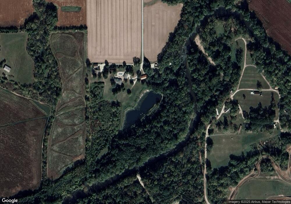
Map
Nearby Homes
- 7930 W 550 S
- 5239 S 800 W
- 8605 Indiana 26
- 8615 W State Rd 26
- 9334 E 200 N
- 302 N 1025 E
- 7640 N 1000 E
- 23 Freeman Dr
- 303 N 1st St Unit 21
- 114 N Plank St
- 0 W 700 Rd S Unit 202531697
- 2326 Stacey Hollow Place
- 2922 Marian Ave
- 500 S 775 E
- 8649 W Division Line Rd
- 35 Pond View Dr
- 2924 Mariposa Ln
- 2908 Mariposa Ln
- 2922 Mariposa Ln
- 2928 Mariposa Ln