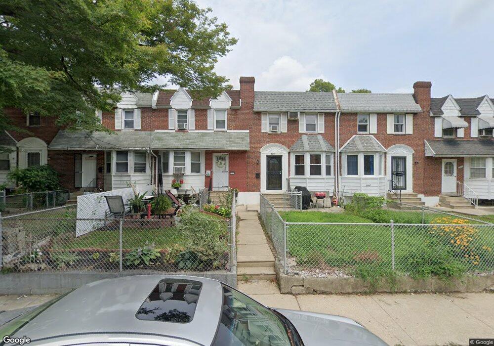
7249 Glenthorne Rd Upper Darby, PA 19082
Estimated Value: $150,891 - $189,000
3
Beds
2
Baths
1,080
Sq Ft
$157/Sq Ft
Est. Value
About This Home
This home is located at 7249 Glenthorne Rd, Upper Darby, PA 19082 and is currently estimated at $169,973, approximately $157 per square foot. 7249 Glenthorne Rd is a home located in Delaware County with nearby schools including Upper Darby Kdg Center, Upper Darby High School, and Vision Academy Charter School.
Ownership History
Date
Name
Owned For
Owner Type
Purchase Details
Closed on
Mar 22, 1999
Sold by
Defeo Ralph
Bought by
Toussaint Sylvince and Toussaint Nancy
Current Estimated Value
Home Financials for this Owner
Home Financials are based on the most recent Mortgage that was taken out on this home.
Original Mortgage
$46,421
Outstanding Balance
$11,264
Interest Rate
6.78%
Mortgage Type
FHA
Estimated Equity
$158,709
Create a Home Valuation Report for This Property
The Home Valuation Report is an in-depth analysis detailing your home's value as well as a comparison with similar homes in the area
Home Values in the Area
Average Home Value in this Area
Purchase History
| Date | Buyer | Sale Price | Title Company |
|---|---|---|---|
| Toussaint Sylvince | $46,000 | T A Title Insurance Company |
Source: Public Records
Mortgage History
| Date | Status | Borrower | Loan Amount |
|---|---|---|---|
| Open | Toussaint Sylvince | $46,421 |
Source: Public Records
Tax History
| Year | Tax Paid | Tax Assessment Tax Assessment Total Assessment is a certain percentage of the fair market value that is determined by local assessors to be the total taxable value of land and additions on the property. | Land | Improvement |
|---|---|---|---|---|
| 2025 | $2,948 | $69,710 | $13,830 | $55,880 |
| 2024 | $2,948 | $69,710 | $13,830 | $55,880 |
| 2023 | $2,920 | $69,710 | $13,830 | $55,880 |
| 2022 | $2,842 | $69,710 | $13,830 | $55,880 |
| 2021 | $3,832 | $69,710 | $13,830 | $55,880 |
| 2020 | $2,631 | $40,680 | $12,580 | $28,100 |
| 2019 | $2,585 | $40,680 | $12,580 | $28,100 |
| 2018 | $2,555 | $40,680 | $0 | $0 |
| 2017 | $2,489 | $40,680 | $0 | $0 |
| 2016 | $223 | $40,680 | $0 | $0 |
| 2015 | $228 | $40,680 | $0 | $0 |
| 2014 | $223 | $40,680 | $0 | $0 |
Source: Public Records
Map
Nearby Homes
- 402 Long Ln
- 7218 Radbourne Rd
- 40 Lamport Rd
- 614 Littlecroft Rd
- 346 Long Ln
- 243 Coverly Rd
- 7023 Guilford Rd
- 417 Copley Rd
- 91 Lamport Rd
- 7042 Clinton Rd
- 519 Littlecroft Rd
- 432 Grace Rd
- 7160 Clover Ln
- 0 Hirst Ave
- 418 Hampden Rd
- 6997 Guilford Rd
- 6993 Guilford Rd
- 418 Littlecroft Rd Unit 6A
- 291 N Wycombe Ave
- 7261 Calvin Rd
- 7247 Glenthorne Rd
- 7245 Glenthorne Rd
- 7243 Glenthorne Rd
- 7251 Glenthorne Rd
- 7253 Glenthorne Rd
- 7283 Glenthorne Rd
- 7281 Glenthorne Rd
- 7279 Glenthorne Rd
- 7275 Glenthorne Rd
- 7269 Glenthorne Rd
- 7255 Glenthorne Rd
- 7257 Glenthorne Rd
- 7259 Glenthorne Rd
- 7261 Glenthorne Rd
- 7260 Lamport Rd
- 7263 Glenthorne Rd
- 7241 Glenthorne Rd
- 7248 Glenthorne Rd
- 7248 Glenthorne Rd
- 7248 Glenthorne Rd
Your Personal Tour Guide
Ask me questions while you tour the home.