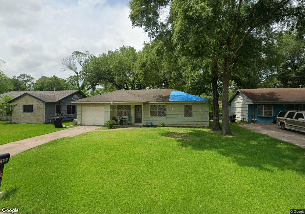
7249 Wiley Rd Houston, TX 77016
East Little York NeighborhoodEstimated Value: $142,630 - $176,000
3
Beds
1
Bath
1,030
Sq Ft
$158/Sq Ft
Est. Value
About This Home
This home is located at 7249 Wiley Rd, Houston, TX 77016 and is currently estimated at $162,908, approximately $158 per square foot. 7249 Wiley Rd is a home located in Harris County with nearby schools including Shadydale Elementary School, Forest Brook Middle, and North Forest High School.
Ownership History
Date
Name
Owned For
Owner Type
Purchase Details
Closed on
May 13, 2005
Sold by
Harris Fred M
Bought by
Hicks Valerie D and Hicks Joseph C
Current Estimated Value
Home Financials for this Owner
Home Financials are based on the most recent Mortgage that was taken out on this home.
Original Mortgage
$37,000
Outstanding Balance
$19,527
Interest Rate
6.03%
Mortgage Type
Purchase Money Mortgage
Estimated Equity
$143,381
Create a Home Valuation Report for This Property
The Home Valuation Report is an in-depth analysis detailing your home's value as well as a comparison with similar homes in the area
Home Values in the Area
Average Home Value in this Area
Purchase History
| Date | Buyer | Sale Price | Title Company |
|---|---|---|---|
| Hicks Valerie D | -- | -- |
Source: Public Records
Mortgage History
| Date | Status | Borrower | Loan Amount |
|---|---|---|---|
| Open | Hicks Valerie D | $37,000 | |
| Closed | Hicks Valerie D | $20,000 |
Source: Public Records
Tax History Compared to Growth
Tax History
| Year | Tax Paid | Tax Assessment Tax Assessment Total Assessment is a certain percentage of the fair market value that is determined by local assessors to be the total taxable value of land and additions on the property. | Land | Improvement |
|---|---|---|---|---|
| 2025 | $721 | $112,938 | $52,287 | $60,651 |
| 2024 | $721 | $108,893 | $52,287 | $56,606 |
| 2023 | $721 | $112,412 | $43,272 | $69,140 |
| 2022 | $1,336 | $92,485 | $36,060 | $56,425 |
| 2021 | $1,286 | $78,357 | $27,045 | $51,312 |
| 2020 | $1,214 | $69,074 | $18,751 | $50,323 |
| 2019 | $1,154 | $61,400 | $12,333 | $49,067 |
| 2018 | $541 | $49,263 | $12,333 | $36,930 |
| 2017 | $953 | $49,263 | $12,333 | $36,930 |
| 2016 | $866 | $49,263 | $12,333 | $36,930 |
| 2015 | $403 | $38,014 | $12,333 | $25,681 |
| 2014 | $403 | $31,555 | $12,333 | $19,222 |
Source: Public Records
Map
Nearby Homes
- 7234 Boggess Rd
- 7252 Parker Rd
- 7306 Parker Rd
- 7220 Parker Rd
- 7305 Yoe St
- 10124 Homestead Rd
- 10120 Homestead Rd
- 10128 Homestead Rd
- 7210 Colton St
- 7402 Yoe St
- 10806 Bird of Paradise Ln
- 10808 Bird of Paradise Ln
- 10810 Bird of Paradise Ln
- 10201 Homestead Rd
- 0 Bretshire Dr Unit 83088734
- 0 Bretshire Dr Unit 61965426
- 10122 Rockaway Dr
- 7226 Gore Dr
- 10317 Kelburn Dr
- 7218 Bretshire Dr