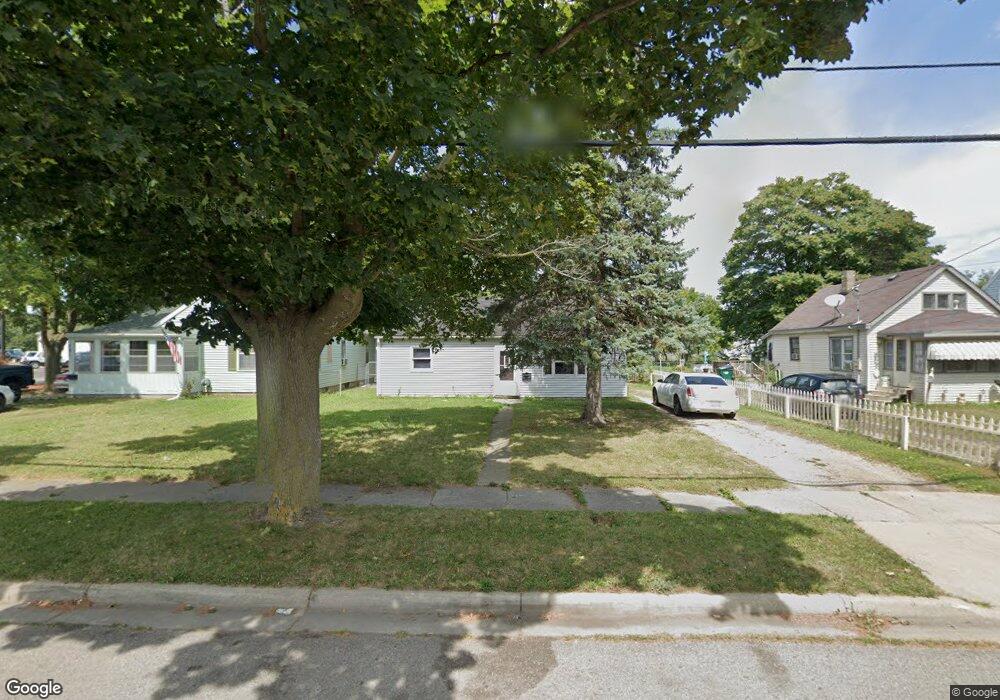
725 Banghart St Lansing, MI 48906
Northside Lansing NeighborhoodEstimated Value: $96,000 - $123,000
3
Beds
1
Bath
875
Sq Ft
$127/Sq Ft
Est. Value
About This Home
This home is located at 725 Banghart St, Lansing, MI 48906 and is currently estimated at $111,343, approximately $127 per square foot. 725 Banghart St is a home located in Ingham County with nearby schools including Gier Park School, Pattengill Academy, and Eastern High School.
Ownership History
Date
Name
Owned For
Owner Type
Purchase Details
Closed on
Aug 31, 2011
Sold by
Opanasenko Terry
Bought by
West Paulson Llc
Current Estimated Value
Purchase Details
Closed on
May 19, 2011
Sold by
Simmons David and Simmons Wendy
Bought by
Citizens Bank and Republic Bank
Purchase Details
Closed on
Feb 10, 2005
Sold by
Simmons David Brian and Simmons Wendy Kay
Bought by
Serene Properties Llc
Purchase Details
Closed on
Oct 22, 2004
Sold by
Townsend Karen B
Bought by
Simmons David and Simmons Wendy
Home Financials for this Owner
Home Financials are based on the most recent Mortgage that was taken out on this home.
Original Mortgage
$53,550
Interest Rate
6.12%
Mortgage Type
Purchase Money Mortgage
Purchase Details
Closed on
Apr 1, 1993
Create a Home Valuation Report for This Property
The Home Valuation Report is an in-depth analysis detailing your home's value as well as a comparison with similar homes in the area
Home Values in the Area
Average Home Value in this Area
Purchase History
| Date | Buyer | Sale Price | Title Company |
|---|---|---|---|
| West Paulson Llc | -- | None Available | |
| Citizens Bank | $49,694 | None Available | |
| Serene Properties Llc | -- | -- | |
| Simmons David | $59,500 | Fatic | |
| Townsend Karen B | -- | Fatic | |
| Townsend Timothy Troy | $47,000 | Fatic | |
| -- | $28,000 | -- |
Source: Public Records
Mortgage History
| Date | Status | Borrower | Loan Amount |
|---|---|---|---|
| Previous Owner | Simmons David | $53,550 |
Source: Public Records
Tax History Compared to Growth
Tax History
| Year | Tax Paid | Tax Assessment Tax Assessment Total Assessment is a certain percentage of the fair market value that is determined by local assessors to be the total taxable value of land and additions on the property. | Land | Improvement |
|---|---|---|---|---|
| 2025 | $2,293 | $39,500 | $6,900 | $32,600 |
| 2024 | $19 | $36,000 | $6,900 | $29,100 |
| 2023 | $2,159 | $32,800 | $6,900 | $25,900 |
| 2022 | $1,973 | $30,200 | $6,200 | $24,000 |
| 2021 | $1,927 | $28,400 | $6,200 | $22,200 |
| 2020 | $1,914 | $26,900 | $6,200 | $20,700 |
| 2019 | $1,847 | $23,700 | $6,200 | $17,500 |
| 2018 | $1,753 | $22,700 | $6,200 | $16,500 |
| 2017 | $1,687 | $22,700 | $6,200 | $16,500 |
| 2016 | $2,995 | $22,400 | $6,200 | $16,200 |
| 2015 | $2,995 | $21,700 | $12,391 | $9,309 |
| 2014 | $2,995 | $21,200 | $12,391 | $8,809 |
Source: Public Records
Map
Nearby Homes
- 801 Banghart St
- 2318 N High St
- 0 Lake Lansing Rd Unit 289258
- 2508 Gary Ave
- 1016 Lake Lansing Rd
- 533 Community St
- 1919 N East St
- 816 Orchard Glen Ave
- 1810 N High St
- 1017 Whyte St
- 213 E Thomas St
- 712 Sanford St
- 1811 Vermont Ave
- 1624 N High St
- V/L (1036) N Larch St
- 1613 Massachusetts Ave
- 1530 New York Ave
- 1527 Massachusetts Ave
- 1415 New York Ave
- 1506 James St