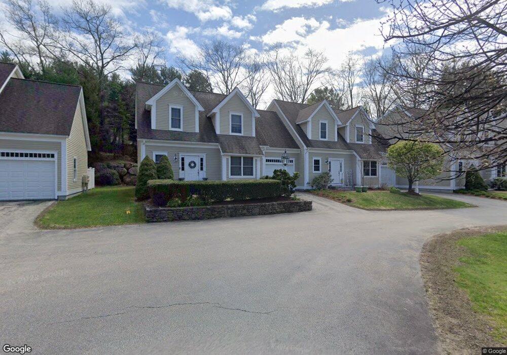
725 Boston Post Rd Unit 1 Sudbury, MA 01776
Estimated Value: $377,712 - $652,000
2
Beds
3
Baths
1,816
Sq Ft
$279/Sq Ft
Est. Value
About This Home
This home is located at 725 Boston Post Rd Unit 1, Sudbury, MA 01776 and is currently estimated at $506,178, approximately $278 per square foot. 725 Boston Post Rd Unit 1 is a home located in Middlesex County with nearby schools including Israel Loring Elementary School, Ephraim Curtis Middle School, and Lincoln-Sudbury Regional High School.
Ownership History
Date
Name
Owned For
Owner Type
Purchase Details
Closed on
Jul 31, 2013
Sold by
Varriale Paul J
Bought by
Rodrigues William P and Moraes Fernanda S
Current Estimated Value
Home Financials for this Owner
Home Financials are based on the most recent Mortgage that was taken out on this home.
Original Mortgage
$156,750
Outstanding Balance
$114,492
Interest Rate
3.95%
Mortgage Type
New Conventional
Estimated Equity
$391,686
Create a Home Valuation Report for This Property
The Home Valuation Report is an in-depth analysis detailing your home's value as well as a comparison with similar homes in the area
Home Values in the Area
Average Home Value in this Area
Purchase History
| Date | Buyer | Sale Price | Title Company |
|---|---|---|---|
| Rodrigues William P | $165,000 | -- |
Source: Public Records
Mortgage History
| Date | Status | Borrower | Loan Amount |
|---|---|---|---|
| Open | Rodrigues William P | $156,750 |
Source: Public Records
Tax History Compared to Growth
Tax History
| Year | Tax Paid | Tax Assessment Tax Assessment Total Assessment is a certain percentage of the fair market value that is determined by local assessors to be the total taxable value of land and additions on the property. | Land | Improvement |
|---|---|---|---|---|
| 2025 | $3,751 | $256,200 | $0 | $256,200 |
| 2024 | $3,515 | $240,600 | $0 | $240,600 |
| 2023 | $3,330 | $211,144 | $0 | $211,144 |
| 2022 | $3,575 | $198,035 | $0 | $198,035 |
| 2021 | $3,729 | $198,035 | $0 | $198,035 |
| 2020 | $2,604 | $141,153 | $0 | $141,153 |
| 2019 | $2,528 | $141,153 | $0 | $141,153 |
| 2018 | $2,531 | $141,153 | $0 | $141,153 |
| 2017 | $2,504 | $141,153 | $0 | $141,153 |
| 2016 | $2,771 | $155,700 | $0 | $155,700 |
| 2015 | $2,740 | $155,700 | $0 | $155,700 |
| 2014 | $2,807 | $155,700 | $0 | $155,700 |
Source: Public Records
Map
Nearby Homes
- 0 Boston Post Rd
- 20 Revolutionary Rd
- 54 Stone Rd
- 0 Robbins Rd
- 10 Hammond Cir
- 7 Adams Rd
- 46 Robert Best Rd
- 11 Red Horse Path
- 128 Nobscot Rd
- 89 Bridle Path
- 30 Nobscot Rd Unit 14
- 40 Tall Pine Dr Unit 12
- 7 Saddle Ridge Rd
- 6 Mountain View Dr
- 100 Nobscot Dr
- 123 Dutton Rd
- 39 Austin Rd
- 29 Kendall Rd
- 1011 Boston Post Rd
- 32 Eaton Rd W
- 725 Boston Post Rd Unit 16
- 725 Boston Post Rd Unit 15
- 725 Boston Post Rd Unit 14
- 725 Boston Post Rd Unit 13
- 725 Boston Post Rd Unit 12
- 725 Boston Post Rd Unit 11
- 725 Boston Post Rd Unit 9
- 725 Boston Post Rd Unit 8
- 725 Boston Post Rd Unit 7
- 725 Boston Post Rd Unit 6
- 725 Boston Post Rd Unit 5
- 725 Boston Post Rd Unit 4
- 725 Boston Post Rd Unit 3
- 725 Boston Post Rd Unit 2
- 725 Boston Post Rd
- 725 Boston Post Rd Unit 5-14
- 725 Boston Post Rd Unit 4 729
- 34 Easy St
- 40 Easy St
- 40 Easy St