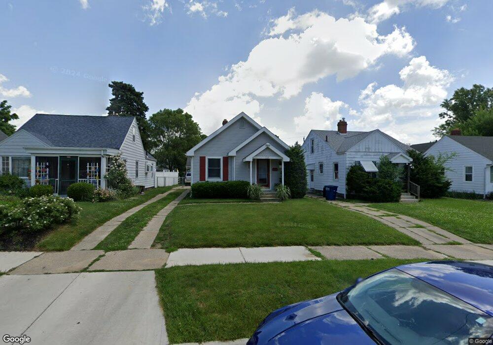
725 Bronx Dr Toledo, OH 43609
Southside NeighborhoodEstimated Value: $85,942 - $95,000
2
Beds
2
Baths
783
Sq Ft
$114/Sq Ft
Est. Value
About This Home
This home is located at 725 Bronx Dr, Toledo, OH 43609 and is currently estimated at $88,986, approximately $113 per square foot. 725 Bronx Dr is a home located in Lucas County with nearby schools including Burroughs Elementary School, Bowsher High School, and Explorers Academy of Science and Technology.
Ownership History
Date
Name
Owned For
Owner Type
Purchase Details
Closed on
Jan 22, 2021
Sold by
Beckler William M
Bought by
Hanf Robert L
Current Estimated Value
Home Financials for this Owner
Home Financials are based on the most recent Mortgage that was taken out on this home.
Original Mortgage
$64,411
Outstanding Balance
$57,048
Interest Rate
2.67%
Mortgage Type
FHA
Estimated Equity
$31,938
Purchase Details
Closed on
Aug 4, 2014
Sold by
Beckler Maria
Bought by
Beckler William M
Purchase Details
Closed on
Dec 20, 1994
Sold by
Bartlett Minnie E
Bought by
Beckler William M
Home Financials for this Owner
Home Financials are based on the most recent Mortgage that was taken out on this home.
Original Mortgage
$38,000
Interest Rate
9.06%
Mortgage Type
New Conventional
Create a Home Valuation Report for This Property
The Home Valuation Report is an in-depth analysis detailing your home's value as well as a comparison with similar homes in the area
Home Values in the Area
Average Home Value in this Area
Purchase History
| Date | Buyer | Sale Price | Title Company |
|---|---|---|---|
| Hanf Robert L | $65,000 | Liberty Title Inc | |
| Beckler William M | -- | None Available | |
| Beckler William M | $40,000 | -- |
Source: Public Records
Mortgage History
| Date | Status | Borrower | Loan Amount |
|---|---|---|---|
| Open | Hanf Robert L | $64,411 | |
| Previous Owner | Beckler William M | $38,000 |
Source: Public Records
Tax History
| Year | Tax Paid | Tax Assessment Tax Assessment Total Assessment is a certain percentage of the fair market value that is determined by local assessors to be the total taxable value of land and additions on the property. | Land | Improvement |
|---|---|---|---|---|
| 2025 | -- | $21,700 | $5,320 | $16,380 |
| 2024 | $682 | $21,700 | $5,320 | $16,380 |
| 2023 | $1,151 | $17,360 | $4,340 | $13,020 |
| 2022 | $1,150 | $17,360 | $4,340 | $13,020 |
| 2021 | $1,201 | $17,360 | $4,340 | $13,020 |
| 2020 | $1,245 | $15,925 | $3,990 | $11,935 |
| 2019 | $1,215 | $15,925 | $3,990 | $11,935 |
| 2018 | $1,219 | $15,925 | $3,990 | $11,935 |
| 2017 | $1,225 | $15,295 | $3,325 | $11,970 |
| 2016 | $1,227 | $43,700 | $9,500 | $34,200 |
| 2015 | $1,216 | $43,700 | $9,500 | $34,200 |
| 2014 | $962 | $15,300 | $3,330 | $11,970 |
| 2013 | $962 | $15,300 | $3,330 | $11,970 |
Source: Public Records
Map
Nearby Homes
- 702 Colima Dr
- 769 Colima Dr
- 518 Colima Dr
- 2335 Airport Hwy
- 2837 Airport Hwy
- 2121 Airport Hwy
- 2052 South Ave
- 415 Mayberry St
- 333 Danberry St
- 139 Kenmore Ave
- 2019 South Ave
- 511 S Detroit Ave
- 859 National Ave
- 2010 Airport Hwy
- 1936 Airport Hwy
- 337 S Detroit Ave
- 802 Wright Ave
- 936 Atlantic Ave
- 915 Atlantic Ave
- 2144 Aberdeen Ave
Your Personal Tour Guide
Ask me questions while you tour the home.