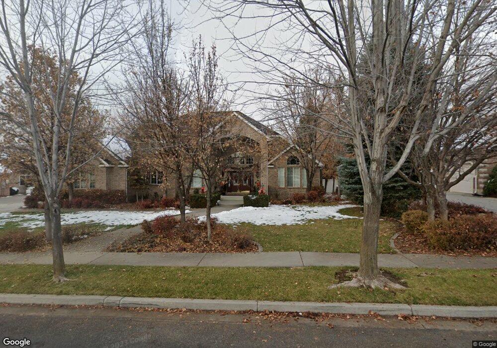
725 E 100 N Alpine, UT 84004
Estimated Value: $1,184,631 - $1,346,000
4
Beds
3
Baths
3,712
Sq Ft
$347/Sq Ft
Est. Value
About This Home
This home is located at 725 E 100 N, Alpine, UT 84004 and is currently estimated at $1,289,544, approximately $347 per square foot. 725 E 100 N is a home located in Utah County with nearby schools including Alpine School, Timberline Middle School, and Lone Peak High School.
Ownership History
Date
Name
Owned For
Owner Type
Purchase Details
Closed on
May 5, 2023
Sold by
Blacker Marie L and Blacker Timothy P
Bought by
Marie Lynne Blacker Revocable Trust
Current Estimated Value
Purchase Details
Closed on
Sep 8, 2020
Sold by
Blacker Marie L
Bought by
Blacker Marie L and Fagan Timothy P
Purchase Details
Closed on
Jan 14, 2017
Sold by
Blacker Alan Wayne
Bought by
Blacker Marie Lynne
Purchase Details
Closed on
May 28, 1997
Sold by
C K Development Inc
Bought by
Blacker Alan W and Blacker Marie L
Create a Home Valuation Report for This Property
The Home Valuation Report is an in-depth analysis detailing your home's value as well as a comparison with similar homes in the area
Home Values in the Area
Average Home Value in this Area
Purchase History
| Date | Buyer | Sale Price | Title Company |
|---|---|---|---|
| Marie Lynne Blacker Revocable Trust | -- | None Listed On Document | |
| Blacker Marie L | -- | None Available | |
| Blacker Marie L | -- | None Available | |
| Blacker Marie Lynne | -- | None Available | |
| Blacker Alan W | -- | -- | |
| C K Development Inc | -- | First American Title | |
| Royal Associates L C | -- | -- |
Source: Public Records
Tax History
| Year | Tax Paid | Tax Assessment Tax Assessment Total Assessment is a certain percentage of the fair market value that is determined by local assessors to be the total taxable value of land and additions on the property. | Land | Improvement |
|---|---|---|---|---|
| 2025 | $5,673 | $683,210 | -- | -- |
| 2024 | $5,673 | $661,210 | $0 | $0 |
| 2023 | $1,548 | $669,845 | $0 | $0 |
| 2022 | $2,671 | $603,185 | $0 | $0 |
| 2021 | $1,925 | $854,900 | $274,500 | $580,400 |
| 2020 | $4,431 | $818,500 | $249,500 | $569,000 |
| 2019 | $4,140 | $798,400 | $249,500 | $548,900 |
| 2018 | $3,692 | $703,400 | $221,800 | $481,600 |
| 2017 | $3,475 | $352,330 | $0 | $0 |
| 2016 | $3,321 | $313,940 | $0 | $0 |
| 2015 | $3,096 | $276,870 | $0 | $0 |
| 2014 | $2,749 | $243,210 | $0 | $0 |
Source: Public Records
Map
Nearby Homes
- 499 E 300 N
- 887 E Village Way
- 202 E Alpine Dr
- 1103 E Lone Peak Dr
- 485 Silver Leaf Dr
- 1063 E Alpine Dr
- 475 Grove Dr
- 48 N 100 E
- 358 Eastview Dr
- 76 N Bald Mountain Dr
- 30 S Main St
- 1296 Oakwood Cir
- 781 N Country Manor Ln
- 196 Holly Dr
- 151 Glacier Lily Dr
- 986 N Sunbrook Cir
- 250 S Main St Unit 25
- 250 S Main St Unit 9
- 250 S Main St Unit 7
- 248 Deerfield Dr
Your Personal Tour Guide
Ask me questions while you tour the home.