725 Flying R Ranch Rd W Spring Branch, TX 78070
Far North San Antonio NeighborhoodEstimated Value: $916,000 - $1,252,803
--
Bed
4
Baths
4,318
Sq Ft
$264/Sq Ft
Est. Value
About This Home
This home is located at 725 Flying R Ranch Rd W, Spring Branch, TX 78070 and is currently estimated at $1,139,601, approximately $263 per square foot. 725 Flying R Ranch Rd W is a home located in Comal County with nearby schools including Arlon R Seay Elementary School, Spring Branch Middle School, and Smithson Valley High School.
Ownership History
Date
Name
Owned For
Owner Type
Purchase Details
Closed on
Jun 28, 2007
Sold by
Hays Diane and Estate Of William M Hays Jr
Bought by
Boyd Gary M and Boyd Dixie K
Current Estimated Value
Home Financials for this Owner
Home Financials are based on the most recent Mortgage that was taken out on this home.
Original Mortgage
$740,000
Outstanding Balance
$460,346
Interest Rate
6.41%
Mortgage Type
Purchase Money Mortgage
Estimated Equity
$679,255
Create a Home Valuation Report for This Property
The Home Valuation Report is an in-depth analysis detailing your home's value as well as a comparison with similar homes in the area
Home Values in the Area
Average Home Value in this Area
Purchase History
| Date | Buyer | Sale Price | Title Company |
|---|---|---|---|
| Boyd Gary M | -- | Uttco |
Source: Public Records
Mortgage History
| Date | Status | Borrower | Loan Amount |
|---|---|---|---|
| Open | Boyd Gary M | $740,000 |
Source: Public Records
Tax History Compared to Growth
Tax History
| Year | Tax Paid | Tax Assessment Tax Assessment Total Assessment is a certain percentage of the fair market value that is determined by local assessors to be the total taxable value of land and additions on the property. | Land | Improvement |
|---|---|---|---|---|
| 2025 | $13,523 | $481,090 | $28,780 | $452,310 |
| 2024 | $13,523 | $1,197,680 | $746,370 | $451,310 |
| 2023 | $13,523 | $455,868 | $0 | $0 |
| 2022 | $4,587 | $417,000 | -- | -- |
| 2021 | $6,754 | $379,160 | $24,280 | $354,880 |
| 2020 | $6,786 | $366,260 | $22,260 | $344,000 |
| 2019 | $6,709 | $372,860 | $13,390 | $359,470 |
| 2018 | $6,040 | $319,080 | $13,360 | $305,720 |
| 2017 | $6,708 | $357,180 | $13,360 | $343,820 |
| 2016 | $6,457 | $343,800 | $13,390 | $330,410 |
| 2015 | $4,374 | $330,950 | $13,200 | $317,750 |
| 2014 | $4,374 | $318,790 | $14,670 | $304,120 |
Source: Public Records
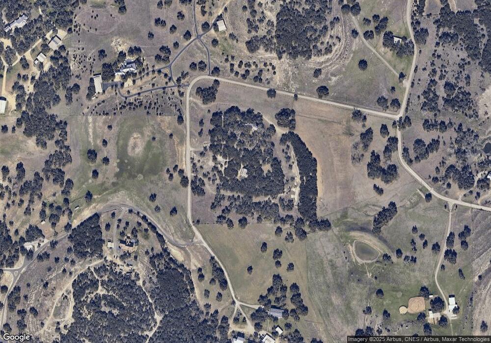
Map
Nearby Homes
- 1476 Flightline
- 0 Ahern Creek Dr
- 329 Chorus Canyon
- 333 Canon Hill Dr
- 324 Rhapsody Ridge
- 313 Canon Hill Dr
- 517 Concerto Ct
- 288 Sonata Canyon
- 513 Concerto Ct
- 316 Ballad Bluffs
- 225 Treble Knoll
- 221 Treble Knoll
- 629 Windmill Ranch Rd
- 537 Allegro Edge
- 152 Lantana Mesa
- 606 Lantana Mesa
- 378 Lantana Crossing
- 520 Lantana Ridge
- 463 Lantana Mesa
- 811 Stirrup Dr
- 760 Flying R Ranch Rd W
- 720 Flying R Ranch Rd W
- 700 Flying R Ranch Rd W
- 800 Flying R Ranch Rd W
- 575 Flying R Ranch Rd
- 1102 Flightline
- 1080 Flightline
- 2000 Ahern Creek Rd
- 1036 Flightline
- 360 Flying R Ranch Rd
- 1083 Flightline
- 1388 Flightline
- 1014 Flightline
- 1039 Flightline
- 1300 Flightline
- 970 Flightline
- 995 Flightline
- 298 Aviator Pass
- 290 Stealth Dr
- 323 Jet Stream Dr