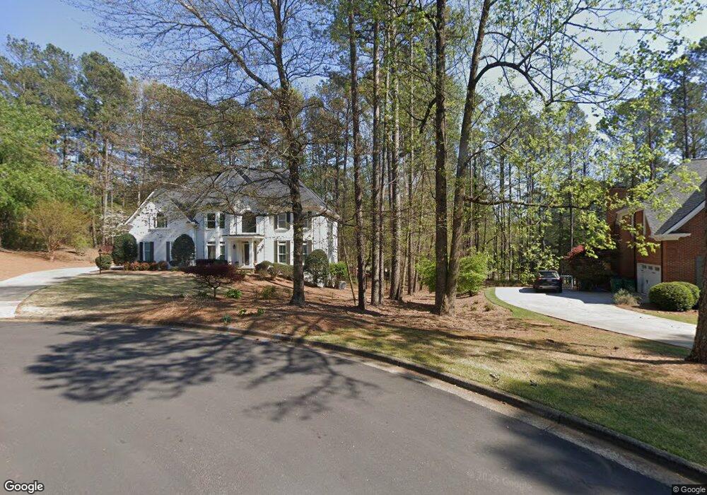
725 Hampton Trace Ln Unit 1 Alpharetta, GA 30004
Estimated Value: $1,145,871 - $1,300,000
5
Beds
4
Baths
3,661
Sq Ft
$340/Sq Ft
Est. Value
About This Home
This home is located at 725 Hampton Trace Ln Unit 1, Alpharetta, GA 30004 and is currently estimated at $1,245,968, approximately $340 per square foot. 725 Hampton Trace Ln Unit 1 is a home located in Fulton County with nearby schools including Birmingham Falls Elementary School, Northwestern Middle School, and Cambridge High School.
Ownership History
Date
Name
Owned For
Owner Type
Purchase Details
Closed on
Jun 3, 2005
Sold by
Lunt Craig K and Lunt Dorothea
Bought by
Turner George C and Turner Ruth
Current Estimated Value
Home Financials for this Owner
Home Financials are based on the most recent Mortgage that was taken out on this home.
Original Mortgage
$513,750
Outstanding Balance
$261,619
Interest Rate
5.38%
Mortgage Type
New Conventional
Estimated Equity
$984,349
Purchase Details
Closed on
Oct 2, 1998
Sold by
Homer William G and Homer Elizabeth A
Bought by
Lunt Craig K
Home Financials for this Owner
Home Financials are based on the most recent Mortgage that was taken out on this home.
Original Mortgage
$300,240
Interest Rate
6.95%
Mortgage Type
New Conventional
Purchase Details
Closed on
Mar 21, 1996
Sold by
Propsinc Mark Vii
Bought by
Homer William G Elizabet
Create a Home Valuation Report for This Property
The Home Valuation Report is an in-depth analysis detailing your home's value as well as a comparison with similar homes in the area
Home Values in the Area
Average Home Value in this Area
Purchase History
| Date | Buyer | Sale Price | Title Company |
|---|---|---|---|
| Turner George C | $685,000 | -- | |
| Lunt Craig K | $375,300 | -- | |
| Homer William G Elizabet | $366,500 | -- |
Source: Public Records
Mortgage History
| Date | Status | Borrower | Loan Amount |
|---|---|---|---|
| Open | Turner George C | $513,750 | |
| Previous Owner | Lunt Craig K | $300,240 | |
| Closed | Homer William G Elizabet | $0 |
Source: Public Records
Tax History Compared to Growth
Tax History
| Year | Tax Paid | Tax Assessment Tax Assessment Total Assessment is a certain percentage of the fair market value that is determined by local assessors to be the total taxable value of land and additions on the property. | Land | Improvement |
|---|---|---|---|---|
| 2025 | $1,096 | $369,880 | $128,880 | $241,000 |
| 2023 | $9,359 | $331,560 | $72,960 | $258,600 |
| 2022 | $5,723 | $238,960 | $65,480 | $173,480 |
| 2021 | $5,101 | $199,640 | $53,400 | $146,240 |
| 2020 | $5,362 | $204,760 | $58,240 | $146,520 |
| 2019 | $1,034 | $207,760 | $51,760 | $156,000 |
| 2018 | $5,386 | $202,920 | $50,560 | $152,360 |
| 2017 | $5,572 | $202,920 | $50,560 | $152,360 |
| 2016 | $5,895 | $215,440 | $58,280 | $157,160 |
| 2015 | $6,865 | $215,440 | $58,280 | $157,160 |
| 2014 | $5,410 | $189,240 | $55,920 | $133,320 |
Source: Public Records
Map
Nearby Homes
- 310 Glen Hampton Place
- 240 Brock Trail
- 240 Brock Trail Unit 4
- 235 Brock Trail
- 235 Brock Trail Unit 3
- 230 Brock Trail
- 230 Brock Trail Unit 5
- 225 Brock Trail Unit 2
- 225 Brock Trail
- 325 White Columns Ct
- 711 Hallbrook Ct
- 15040 Freemanville Rd
- 1160 Nix Rd
- 110 von Lake Dr
- 15475 Birmingham Hwy
- 115 von Lake Dr
- 170 Golf Link View Unit 6B
- 648 Glenover Dr
- 15380 Birmingham Hwy
- 608 Glenover Dr
- 735 Hampton Trace Ln
- 715 Hampton Trace Ln
- 715 Hampton Trace Ln
- 730 Hampton Trace Ln Unit 1
- 720 Hampton Trace Ln
- 500 Glen Hampton Dr
- 705 Hampton Trace Ln
- 0 Hampton Bluff Ln Unit 7407722
- 510 Glen Hampton Dr
- 710 Hampton Trace Ln
- 0 Glen Hampton Dr Unit 8360579
- 0 Glen Hampton Dr Unit 7072973
- 0 Glen Hampton Dr Unit 7082963
- 520 Glen Hampton Dr Unit 13
- 520 Glen Hampton Dr
- 700 Hampton Trace Ln Unit 1
- 530 Glen Hampton Dr
- 625 Hampton Bluff Ln
- 315 Glen Hampton Place
- 400 Hampton View Ct Unit 1