725 Lillian Cir Salisbury, NC 28147
Estimated Value: $393,000 - $569,126
4
Beds
3
Baths
2,725
Sq Ft
$172/Sq Ft
Est. Value
About This Home
This home is located at 725 Lillian Cir, Salisbury, NC 28147 and is currently estimated at $468,032, approximately $171 per square foot. 725 Lillian Cir is a home located in Rowan County with nearby schools including Mount Ulla Elementary School, West Rowan Middle School, and West Rowan High School.
Ownership History
Date
Name
Owned For
Owner Type
Purchase Details
Closed on
Aug 21, 2014
Sold by
Bangert Charles and Bangert Veronica
Bought by
Bangert Charles and Bangert Veronica
Current Estimated Value
Home Financials for this Owner
Home Financials are based on the most recent Mortgage that was taken out on this home.
Original Mortgage
$149,230
Interest Rate
4.2%
Mortgage Type
New Conventional
Create a Home Valuation Report for This Property
The Home Valuation Report is an in-depth analysis detailing your home's value as well as a comparison with similar homes in the area
Home Values in the Area
Average Home Value in this Area
Purchase History
| Date | Buyer | Sale Price | Title Company |
|---|---|---|---|
| Bangert Charles | -- | None Available |
Source: Public Records
Mortgage History
| Date | Status | Borrower | Loan Amount |
|---|---|---|---|
| Closed | Bangert Charles | $149,230 |
Source: Public Records
Tax History Compared to Growth
Tax History
| Year | Tax Paid | Tax Assessment Tax Assessment Total Assessment is a certain percentage of the fair market value that is determined by local assessors to be the total taxable value of land and additions on the property. | Land | Improvement |
|---|---|---|---|---|
| 2025 | $2,268 | $334,818 | $51,750 | $283,068 |
| 2024 | $2,268 | $334,818 | $51,750 | $283,068 |
| 2023 | $2,268 | $334,818 | $51,750 | $283,068 |
| 2022 | $1,677 | $222,125 | $42,750 | $179,375 |
| 2021 | $1,660 | $222,125 | $42,750 | $179,375 |
| 2020 | $1,660 | $222,125 | $42,750 | $179,375 |
| 2019 | $1,660 | $222,125 | $42,750 | $179,375 |
| 2018 | $1,460 | $196,990 | $42,750 | $154,240 |
| 2017 | $1,460 | $196,990 | $42,750 | $154,240 |
| 2016 | $1,460 | $196,990 | $42,750 | $154,240 |
| 2015 | $1,477 | $196,990 | $42,750 | $154,240 |
| 2014 | $1,417 | $198,214 | $42,750 | $155,464 |
Source: Public Records
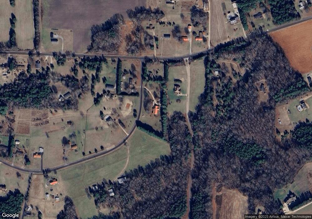
Map
Nearby Homes
- 170 Saint James Way
- 7245 Mooresville Rd
- 1110 Coppergate Dr
- 1150 Coppergate Dr
- 1120 Coppergate Dr
- 1160 Coppergate Dr
- 1240 Coppergate Dr
- 1030 Stonegate Dr
- 1033 Stonegate Dr
- 161 Moore Haven Dr
- 1280 Coppergate Dr
- Azalea II Plan at Yorkshire Farms
- Daffodil Plan at Yorkshire Farms
- 210 Goldenrod Cir
- 1335 Coppergate Dr
- 203 Trinity Ct
- 1355 Coppergate Dr
- 1370 Coppergate Dr
- 1340 Coppergate Dr
- 1045 Castle Mill Ln Unit 38
- 745 Lillian Cir
- 630 Lillian Cir
- 0 St James Way Unit 801133
- 0 Saint James Way Unit 986598
- 0 Saint James Way Unit NULL R45939
- 0 Saint James Way Unit NULL R45930
- lot 9 St James Way
- lot 7 St James Way
- lot 5 St James Way
- lot 3 St James Way
- lot 56 St James Way
- lot 2 St James Way
- lot 62 St James Way
- lot 60 St James Way
- lot 58 St James Way
- lot 6 St James Way
- lot 4 St James Way
- 2060 Goodnight Rd
- lot 59 St James Way
- 2020 Goodnight Rd