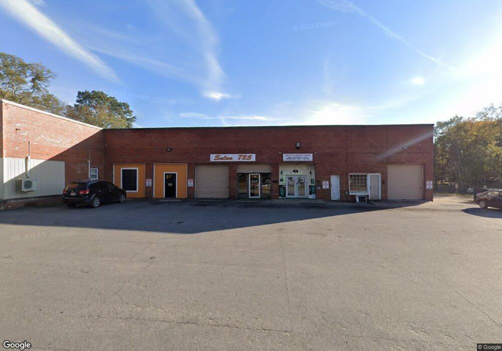
725 Main St Warrenton, GA 30828
Estimated Value: $385,166
--
Bed
--
Bath
7,488
Sq Ft
$51/Sq Ft
Est. Value
About This Home
This home is located at 725 Main St, Warrenton, GA 30828 and is currently estimated at $385,166, approximately $51 per square foot. 725 Main St is a home located in Warren County with nearby schools including Freeman Elementary School, Warren County Middle School, and Warren County High School.
Ownership History
Date
Name
Owned For
Owner Type
Purchase Details
Closed on
Aug 31, 2012
Sold by
Davis Walker B
Bought by
Johnson Chris B
Current Estimated Value
Purchase Details
Closed on
Sep 8, 2009
Sold by
Norris Roland
Bought by
Davis Walker B
Purchase Details
Closed on
Feb 15, 1990
Sold by
Wren Tony
Bought by
Norris Roland
Purchase Details
Closed on
May 29, 1982
Sold by
Hutchinson Johnson Buick Chev
Bought by
Wren Tony
Purchase Details
Closed on
Aug 14, 1981
Sold by
Hutchinson Wr
Bought by
Hutchinson Johnson Buick Chev
Purchase Details
Closed on
Jun 4, 1980
Sold by
Wiley Motor Co
Bought by
Hutchinson Wr
Create a Home Valuation Report for This Property
The Home Valuation Report is an in-depth analysis detailing your home's value as well as a comparison with similar homes in the area
Home Values in the Area
Average Home Value in this Area
Purchase History
| Date | Buyer | Sale Price | Title Company |
|---|---|---|---|
| Johnson Chris B | $125,000 | -- | |
| Davis Walker B | $93,000 | -- | |
| Norris Roland | -- | -- | |
| Wren Tony | -- | -- | |
| Hutchinson Johnson Buick Chev | -- | -- | |
| Hutchinson Wr | -- | -- |
Source: Public Records
Tax History Compared to Growth
Tax History
| Year | Tax Paid | Tax Assessment Tax Assessment Total Assessment is a certain percentage of the fair market value that is determined by local assessors to be the total taxable value of land and additions on the property. | Land | Improvement |
|---|---|---|---|---|
| 2024 | $4,805 | $95,710 | $9,058 | $86,652 |
| 2023 | $4,812 | $95,710 | $9,058 | $86,652 |
| 2022 | $2,974 | $95,710 | $9,058 | $86,652 |
| 2021 | $2,974 | $95,710 | $9,058 | $86,652 |
| 2020 | $974 | $31,111 | $9,058 | $22,053 |
| 2019 | $976 | $31,111 | $9,058 | $22,053 |
| 2018 | $1,528 | $31,111 | $9,058 | $22,053 |
| 2017 | $945 | $31,111 | $9,058 | $22,053 |
| 2016 | $1,590 | $31,111 | $9,058 | $22,053 |
| 2015 | -- | $31,112 | $9,058 | $22,053 |
| 2014 | -- | $31,112 | $9,058 | $22,053 |
| 2013 | -- | $31,111 | $9,058 | $22,053 |
Source: Public Records
Map
Nearby Homes
- LOT 8 Black Pearl Dr
- 178 Academy St
- 41 Bray St
- 25 Bray St Unit 31
- 205 Macon Hwy
- 45 Court Square
- 157 Macon Hwy
- 202 S Gibson St
- 144 N Gibson St
- 550 Atlanta Hwy
- 331 Oak St
- 530 Oak St
- 89 Alva Dr
- LOT 76 W Plainview Dr
- LOT 77 W Plainview Dr
- 0 Wilson Rd
- 6 Norwood Camak Rd
- 6367 Atlanta Hwy
- 3959 Cadley Rd
- 1 Lithonia Church Rd