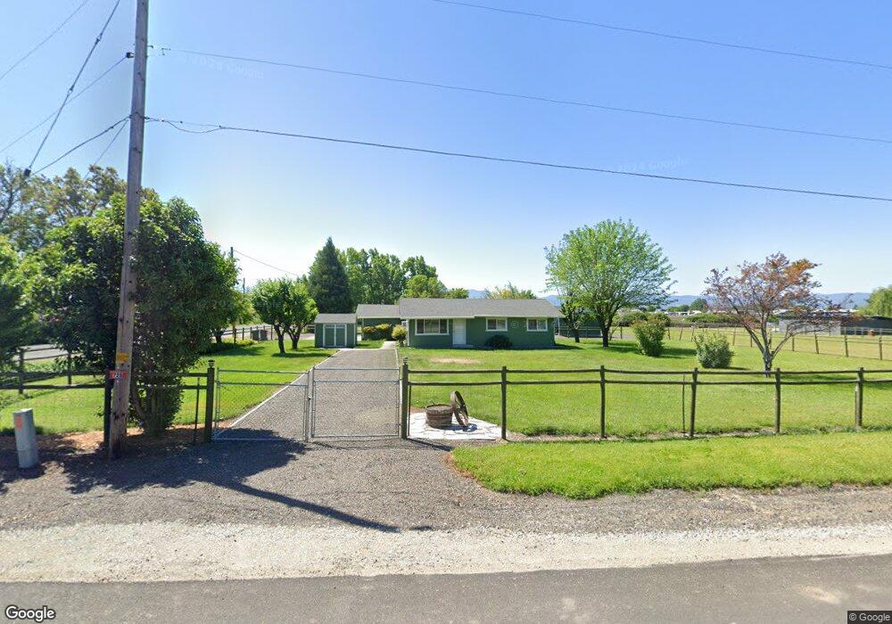
725 Maverick St Central Point, OR 97502
Estimated Value: $296,000 - $347,000
3
Beds
1
Bath
912
Sq Ft
$357/Sq Ft
Est. Value
About This Home
This home is located at 725 Maverick St, Central Point, OR 97502 and is currently estimated at $325,323, approximately $356 per square foot. 725 Maverick St is a home located in Jackson County with nearby schools including Sams Valley Elementary School, Scenic Middle School, and Crater High School.
Ownership History
Date
Name
Owned For
Owner Type
Purchase Details
Closed on
Mar 28, 2005
Sold by
Spaur Roger I
Bought by
Fletcher Tony H and Fletcher Tina L
Current Estimated Value
Home Financials for this Owner
Home Financials are based on the most recent Mortgage that was taken out on this home.
Original Mortgage
$144,000
Outstanding Balance
$74,165
Interest Rate
5.75%
Mortgage Type
Stand Alone First
Estimated Equity
$251,158
Create a Home Valuation Report for This Property
The Home Valuation Report is an in-depth analysis detailing your home's value as well as a comparison with similar homes in the area
Home Values in the Area
Average Home Value in this Area
Purchase History
| Date | Buyer | Sale Price | Title Company |
|---|---|---|---|
| Fletcher Tony H | $180,000 | Lawyers Title Ins |
Source: Public Records
Mortgage History
| Date | Status | Borrower | Loan Amount |
|---|---|---|---|
| Open | Fletcher Tony H | $144,000 | |
| Closed | Fletcher Tony H | $36,000 |
Source: Public Records
Tax History Compared to Growth
Tax History
| Year | Tax Paid | Tax Assessment Tax Assessment Total Assessment is a certain percentage of the fair market value that is determined by local assessors to be the total taxable value of land and additions on the property. | Land | Improvement |
|---|---|---|---|---|
| 2025 | $2,037 | $165,760 | $82,040 | $83,720 |
| 2024 | $2,037 | $160,940 | $72,630 | $88,310 |
| 2023 | $1,969 | $156,260 | $70,510 | $85,750 |
| 2022 | $1,927 | $156,260 | $70,510 | $85,750 |
| 2021 | $1,872 | $151,710 | $68,450 | $83,260 |
| 2020 | $1,818 | $147,300 | $66,460 | $80,840 |
| 2019 | $1,776 | $138,850 | $62,640 | $76,210 |
| 2018 | $1,721 | $134,810 | $60,820 | $73,990 |
| 2017 | $1,680 | $134,810 | $60,820 | $73,990 |
| 2016 | $1,631 | $127,080 | $57,320 | $69,760 |
| 2015 | $1,555 | $127,080 | $57,320 | $69,760 |
| 2014 | $1,518 | $119,790 | $54,030 | $65,760 |
Source: Public Records
Map
Nearby Homes
- 5156 Peace Ln
- 1182 E Justice Rd
- 4824 Airway Dr Unit 371W06BB410
- 4676 Industry Dr
- 862 Enterprise Dr
- 4702 Industry Dr
- 1250 Vilas Rd
- 1141 Helicopter Way
- 1151 Helicopter Way
- 5011 Highway 62
- 2453 Crater Lake Hwy
- 225 Wilson Rd
- 4595 Table Rock Rd
- 2598 St James Way
- 1816 E Vilas Rd
- 4692 Crater Lake Ave Unit 600
- 4399 Table Rock Rd
- 2330 Savannah Dr
- 223 Ridgeway Ave
- 2770 Parkwood Village Ln