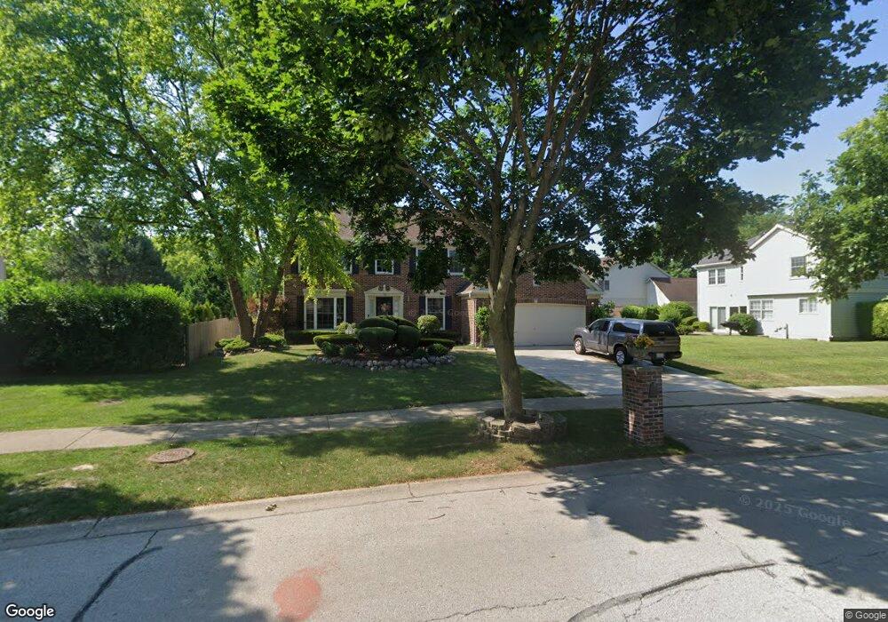
725 Mayfair Ln Buffalo Grove, IL 60089
South Buffalo Grove NeighborhoodEstimated Value: $547,545 - $606,000
3
Beds
3
Baths
2,432
Sq Ft
$237/Sq Ft
Est. Value
About This Home
This home is located at 725 Mayfair Ln, Buffalo Grove, IL 60089 and is currently estimated at $575,636, approximately $236 per square foot. 725 Mayfair Ln is a home located in Cook County with nearby schools including Henry W Longfellow Elementary School, Cooper Middle School, and Buffalo Grove High School.
Ownership History
Date
Name
Owned For
Owner Type
Purchase Details
Closed on
Mar 28, 1997
Sold by
Hasegawa Hisayuki and Hasegawa Aiko
Bought by
Miller Gregory L and Miller Cynthia
Current Estimated Value
Home Financials for this Owner
Home Financials are based on the most recent Mortgage that was taken out on this home.
Original Mortgage
$152,000
Outstanding Balance
$19,241
Interest Rate
7.65%
Estimated Equity
$556,395
Purchase Details
Closed on
Jul 27, 1995
Sold by
Yamano Masaki
Bought by
Hasegawa Hisayuki and Hasegawa Aiko
Home Financials for this Owner
Home Financials are based on the most recent Mortgage that was taken out on this home.
Original Mortgage
$225,000
Interest Rate
6.9%
Create a Home Valuation Report for This Property
The Home Valuation Report is an in-depth analysis detailing your home's value as well as a comparison with similar homes in the area
Home Values in the Area
Average Home Value in this Area
Purchase History
| Date | Buyer | Sale Price | Title Company |
|---|---|---|---|
| Miller Gregory L | $302,000 | -- | |
| Hasegawa Hisayuki | $300,000 | -- |
Source: Public Records
Mortgage History
| Date | Status | Borrower | Loan Amount |
|---|---|---|---|
| Open | Miller Gregory L | $152,000 | |
| Previous Owner | Hasegawa Hisayuki | $225,000 |
Source: Public Records
Tax History Compared to Growth
Tax History
| Year | Tax Paid | Tax Assessment Tax Assessment Total Assessment is a certain percentage of the fair market value that is determined by local assessors to be the total taxable value of land and additions on the property. | Land | Improvement |
|---|---|---|---|---|
| 2024 | $10,060 | $37,401 | $9,190 | $28,211 |
| 2023 | $9,621 | $37,401 | $9,190 | $28,211 |
| 2022 | $9,621 | $37,401 | $9,190 | $28,211 |
| 2021 | $10,555 | $35,870 | $6,509 | $29,361 |
| 2020 | $10,412 | $35,870 | $6,509 | $29,361 |
| 2019 | $10,443 | $39,900 | $6,509 | $33,391 |
| 2018 | $11,381 | $39,232 | $5,743 | $33,489 |
| 2017 | $11,208 | $39,232 | $5,743 | $33,489 |
| 2016 | $10,977 | $39,232 | $5,743 | $33,489 |
| 2015 | $10,954 | $34,866 | $4,977 | $29,889 |
| 2014 | $10,790 | $34,866 | $4,977 | $29,889 |
| 2013 | $9,956 | $34,866 | $4,977 | $29,889 |
Source: Public Records
Map
Nearby Homes
- 665 Thornwood Dr
- 455 Mayfair Ln
- 476 Raupp Blvd
- 250 Old Oak Dr Unit 275
- 820 Weidner Rd Unit 409
- 561 Park View Terrace Unit 153
- 234 Mohawk Trail
- 3300 N Carriageway Dr Unit 317
- 813 Stradford Cir Unit 21B2
- 12 Oak Creek Dr Unit 2212
- 535 Estate Dr
- 3401 N Ellen Dr
- 859 Beechwood Rd
- 310 Rosewood Ave
- 10 Old Oak Dr Unit 103
- 410 Chatham Cir
- 443 Diane Dr
- 51 Old Oak Dr Unit 414
- 51 Old Oak Dr Unit 302
- 720 Weidner Rd Unit 302
- 715 Mayfair Ct S
- 715 Vernon Ln
- 725 Vernon Ln
- 500 Bradley Rd
- 705 Mayfair Ct S
- 735 Vernon Ln
- 490 Bradley Rd
- 700 Mayfair Ln
- 690 Mayfair Ln
- 695 Vernon Ln
- 480 Bradley Rd
- 680 Mayfair Ln
- 695 Mayfair Ct S
- 720 Vernon Ln
- 685 Vernon Ln
- 470 Bradley Rd
- 710 Vernon Ln
- 665 Mayfair Ct S
- 665 Vernon Ct N
- 670 Mayfair Ln