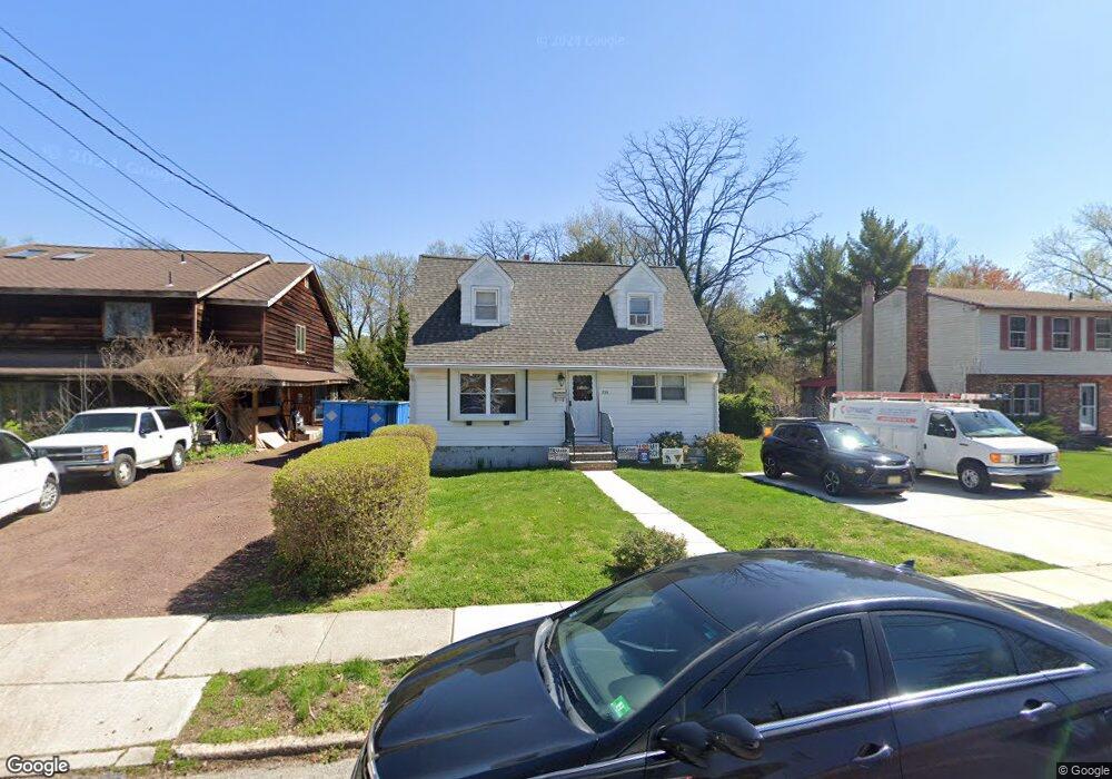
725 N Forklanding Rd Maple Shade, NJ 08052
Estimated Value: $279,757 - $342,000
--
Bed
--
Bath
1,228
Sq Ft
$252/Sq Ft
Est. Value
About This Home
This home is located at 725 N Forklanding Rd, Maple Shade, NJ 08052 and is currently estimated at $309,689, approximately $252 per square foot. 725 N Forklanding Rd is a home located in Burlington County with nearby schools including Ralph J Steinhauer Elementary School, Maude M. Wilkins Elementary School, and Howard R Yocum School.
Ownership History
Date
Name
Owned For
Owner Type
Purchase Details
Closed on
Jan 26, 2005
Sold by
Cote Michael
Bought by
Cote William P
Current Estimated Value
Purchase Details
Closed on
Feb 15, 2002
Sold by
Lewis Edward Gordon and Lewis Michele M
Bought by
Cote Michael
Home Financials for this Owner
Home Financials are based on the most recent Mortgage that was taken out on this home.
Original Mortgage
$77,048
Interest Rate
7.08%
Mortgage Type
FHA
Create a Home Valuation Report for This Property
The Home Valuation Report is an in-depth analysis detailing your home's value as well as a comparison with similar homes in the area
Home Values in the Area
Average Home Value in this Area
Purchase History
| Date | Buyer | Sale Price | Title Company |
|---|---|---|---|
| Cote William P | -- | -- | |
| Cote Michael | $78,000 | -- |
Source: Public Records
Mortgage History
| Date | Status | Borrower | Loan Amount |
|---|---|---|---|
| Previous Owner | Cote Michael | $77,048 |
Source: Public Records
Tax History Compared to Growth
Tax History
| Year | Tax Paid | Tax Assessment Tax Assessment Total Assessment is a certain percentage of the fair market value that is determined by local assessors to be the total taxable value of land and additions on the property. | Land | Improvement |
|---|---|---|---|---|
| 2025 | $6,966 | $183,500 | $57,100 | $126,400 |
| 2024 | $6,764 | $183,500 | $57,100 | $126,400 |
| 2023 | $6,764 | $183,500 | $57,100 | $126,400 |
| 2022 | $6,659 | $183,500 | $57,100 | $126,400 |
| 2021 | $6,307 | $183,500 | $57,100 | $126,400 |
| 2020 | $6,613 | $183,500 | $57,100 | $126,400 |
| 2019 | $6,371 | $183,500 | $57,100 | $126,400 |
| 2018 | $6,261 | $183,500 | $57,100 | $126,400 |
| 2017 | $6,188 | $183,500 | $57,100 | $126,400 |
| 2016 | $6,096 | $183,500 | $57,100 | $126,400 |
| 2015 | $5,964 | $183,500 | $57,100 | $126,400 |
| 2014 | $5,782 | $183,500 | $57,100 | $126,400 |
Source: Public Records
Map
Nearby Homes
- 41 Orchard Ave
- 12 Collins Ln
- 4 W Germantown Ave
- 218 E Germantown Ave
- 432 N Coles Ave
- 301 N Coles Ave
- 505 Greenwood Ave
- 3422 Palace Ct
- 8704 Park Ave
- 29 W Broadway
- 8534 Orchard Ave
- 3423 New Jersey Ct
- 480 W Front St
- 48 N Terrace Ave
- 425 Stiles Ave
- 22 Theodore Ave
- 8337 Herbert Ave
- 8331 Stockton Ave
- Ballad Plan at Villages at Moorestown
- Cadence Plan at Villages at Moorestown
- 729 N Forklanding Rd
- 723 N Forklanding Rd
- 733 N Forklanding Rd
- 721 N Forklanding Rd
- 730 N Forklanding Rd
- 6 Lanci Rd
- 737 N Forklanding Rd
- 707 N Forklanding Rd
- 732 N Forklanding Rd
- 12 Lanci Rd
- 36 Farm House Ln
- 5 Lanci Rd
- 745 N Forklanding Rd
- 29 Orchard Ave
- 16 Lanci Rd
- 703 N Forklanding Rd
- 749 N Forklanding Rd
- 34 Farm House Ln
- 7 Lanci Rd
- 31 Orchard Ave