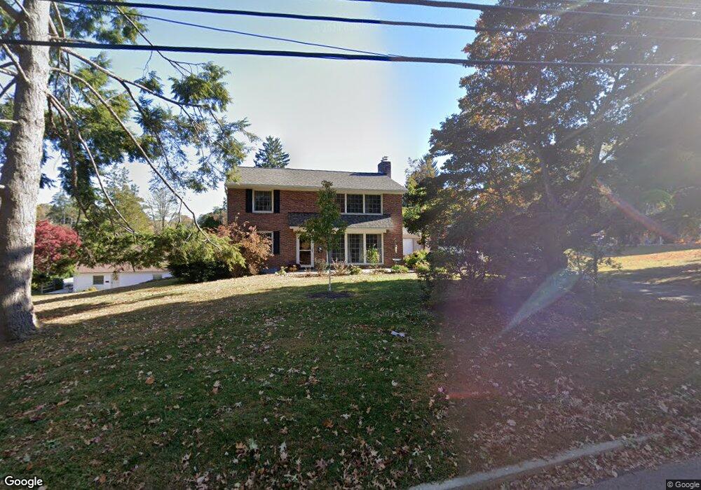
725 N Franklin St West Chester, PA 19380
Estimated Value: $642,795 - $714,000
3
Beds
3
Baths
1,820
Sq Ft
$378/Sq Ft
Est. Value
About This Home
This home is located at 725 N Franklin St, West Chester, PA 19380 and is currently estimated at $688,699, approximately $378 per square foot. 725 N Franklin St is a home located in Chester County with nearby schools including Hillsdale Elementary School, E.N. Peirce Middle School, and Henderson High School.
Ownership History
Date
Name
Owned For
Owner Type
Purchase Details
Closed on
Jan 22, 1999
Sold by
Dougherty Sean M and Dougherty James H
Bought by
Dougherty Sean M and Dougherty Catherine A
Current Estimated Value
Home Financials for this Owner
Home Financials are based on the most recent Mortgage that was taken out on this home.
Original Mortgage
$132,800
Interest Rate
6.67%
Purchase Details
Closed on
Sep 14, 1995
Sold by
Twohig William J and Twohig Anne L
Bought by
Dougherty Sean M and Dougherty James H
Create a Home Valuation Report for This Property
The Home Valuation Report is an in-depth analysis detailing your home's value as well as a comparison with similar homes in the area
Home Values in the Area
Average Home Value in this Area
Purchase History
| Date | Buyer | Sale Price | Title Company |
|---|---|---|---|
| Dougherty Sean M | -- | -- | |
| Dougherty Sean M | $153,000 | -- |
Source: Public Records
Mortgage History
| Date | Status | Borrower | Loan Amount |
|---|---|---|---|
| Previous Owner | Dougherty Sean M | $132,800 |
Source: Public Records
Tax History Compared to Growth
Tax History
| Year | Tax Paid | Tax Assessment Tax Assessment Total Assessment is a certain percentage of the fair market value that is determined by local assessors to be the total taxable value of land and additions on the property. | Land | Improvement |
|---|---|---|---|---|
| 2025 | $5,355 | $152,650 | $48,690 | $103,960 |
| 2024 | $5,355 | $152,650 | $48,690 | $103,960 |
| 2023 | $5,295 | $152,650 | $48,690 | $103,960 |
| 2022 | $5,238 | $152,650 | $48,690 | $103,960 |
| 2021 | $5,131 | $152,650 | $48,690 | $103,960 |
| 2020 | $5,036 | $152,650 | $48,690 | $103,960 |
| 2019 | $4,977 | $152,650 | $48,690 | $103,960 |
| 2018 | $4,887 | $152,650 | $48,690 | $103,960 |
| 2017 | $4,797 | $152,650 | $48,690 | $103,960 |
| 2016 | $3,269 | $152,650 | $48,690 | $103,960 |
| 2015 | $3,269 | $152,650 | $48,690 | $103,960 |
| 2014 | $3,269 | $152,650 | $48,690 | $103,960 |
Source: Public Records
Map
Nearby Homes
- 911 Baylowell Dr
- 626 N Matlack St
- 1103 Judson Dr
- 112 Crosspointe Dr
- 204 Ford Cir
- 532 N Walnut St
- 347 E Biddle St
- 314 Mayfield Ave
- 303 W Washington St
- 959 Garlington Cir
- 505 S Maryland Ave
- 145 E Miner St
- 110 S Matlack St
- 110 S Adams St
- 112 S Matlack St
- 751 Mccardle Dr Unit 27
- 418 Hannum Ave
- 342 E Barnard St
- 744 Mccardle Dr Unit 35
- 110 S High St
- 308 Goshen Rd
- 723 N Franklin St
- 310 Goshen Rd
- 312 Goshen Rd
- 902 Kirby Dr
- 721 N Franklin St
- 901 Baylowell Dr
- 744 Marshall Dr
- 746 Marshall Dr
- 906 Kirby Dr
- 740 Marshall Dr
- 901 Kirby Dr
- 736 Marshall Dr
- 903 Baylowell Dr
- 738 Marshall Dr
- 905 Kirby Dr
- 717 N Franklin St
- 900 Baylowell Dr
- 734 Marshall Dr
- 910 Kirby Dr