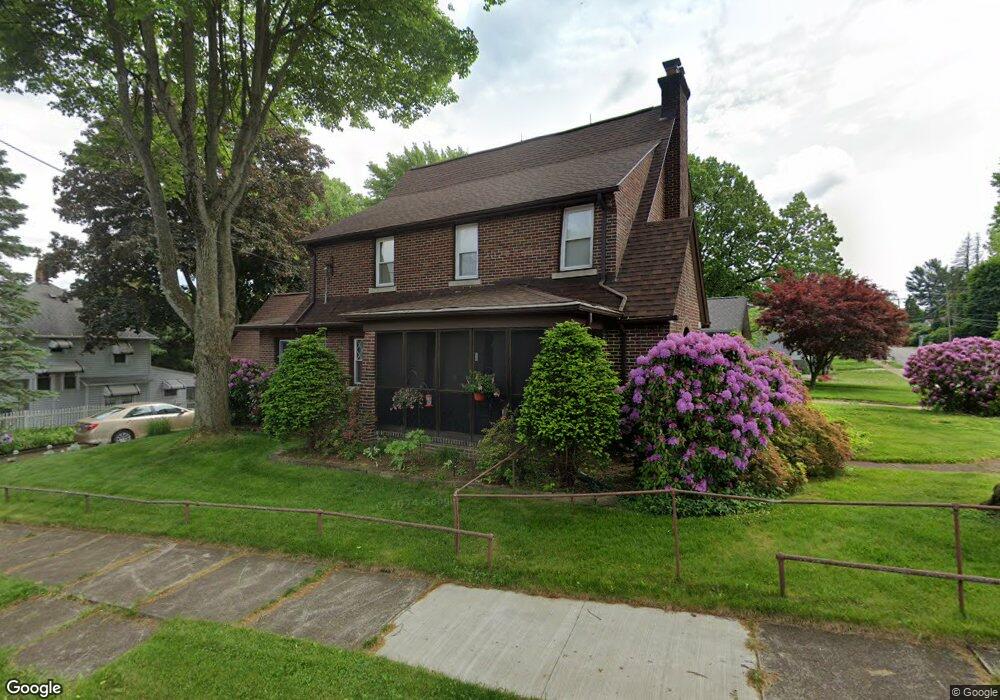
725 N Summit St Barberton, OH 44203
North Barberton NeighborhoodEstimated Value: $204,463 - $261,000
3
Beds
2
Baths
2,514
Sq Ft
$92/Sq Ft
Est. Value
About This Home
This home is located at 725 N Summit St, Barberton, OH 44203 and is currently estimated at $230,616, approximately $91 per square foot. 725 N Summit St is a home located in Summit County with nearby schools including Barberton Middle School, Barberton Intermediate School 3-5, and Barberton High School.
Ownership History
Date
Name
Owned For
Owner Type
Purchase Details
Closed on
Mar 27, 2000
Sold by
Gustafson Thomas and Clark Eileen R
Bought by
Gustafson Thomas and Gustafson Eileen R
Current Estimated Value
Home Financials for this Owner
Home Financials are based on the most recent Mortgage that was taken out on this home.
Original Mortgage
$107,200
Interest Rate
8.39%
Create a Home Valuation Report for This Property
The Home Valuation Report is an in-depth analysis detailing your home's value as well as a comparison with similar homes in the area
Home Values in the Area
Average Home Value in this Area
Purchase History
| Date | Buyer | Sale Price | Title Company |
|---|---|---|---|
| Gustafson Thomas | -- | Chelsea Title Agency |
Source: Public Records
Mortgage History
| Date | Status | Borrower | Loan Amount |
|---|---|---|---|
| Closed | Gustafson Thomas | $107,200 |
Source: Public Records
Tax History
| Year | Tax Paid | Tax Assessment Tax Assessment Total Assessment is a certain percentage of the fair market value that is determined by local assessors to be the total taxable value of land and additions on the property. | Land | Improvement |
|---|---|---|---|---|
| 2025 | $3,144 | $62,909 | $10,640 | $52,269 |
| 2024 | $3,144 | $62,909 | $10,640 | $52,269 |
| 2023 | $3,144 | $62,909 | $10,640 | $52,269 |
| 2022 | $2,369 | $41,119 | $6,955 | $34,164 |
| 2021 | $2,367 | $41,119 | $6,955 | $34,164 |
| 2020 | $2,316 | $41,120 | $6,960 | $34,160 |
| 2019 | $2,352 | $37,820 | $6,120 | $31,700 |
| 2018 | $2,316 | $37,820 | $6,120 | $31,700 |
| 2017 | $2,347 | $37,820 | $6,120 | $31,700 |
| 2016 | $2,352 | $37,820 | $6,120 | $31,700 |
| 2015 | $2,347 | $37,820 | $6,120 | $31,700 |
| 2014 | $2,334 | $37,820 | $6,120 | $31,700 |
| 2013 | $2,362 | $39,690 | $6,120 | $33,570 |
Source: Public Records
Map
Nearby Homes
- 162 Mitchell St
- 197 W State St Unit 182
- 174 Yonker St
- 0 Romig Ave
- 266 Hazelwood Ave
- 0 Wooster Rd N
- 76 Hazelwood Ave
- 217 W Summit St
- 491 Taft Ave
- 613 Wooster Rd N
- 52 Norwood St
- 1974 Newton Ave
- 485 Lloyd St
- 176 Grace Ave
- 526 Wooster Rd N
- 524 Jefferson Ave
- 604 Jefferson Ave
- 341 6th St NE
- 332 Lincoln Ave
- 1315 Kohler Ave
- 719 N Summit St
- 36 Swigart St
- 713 N Summit St
- 32 Swigart St
- 35 Swigart St
- 47 Swigart St
- 43 Swigart St
- 726 N Summit St
- 709 N Summit St
- 29 Swigart St
- 730 N Summit St
- 720 N Summit St
- 734 N Summit St
- 747 N Summit St
- 22 Swigart St
- 22 Swigart St
- 703 N Summit St
- 740 N Summit St
- 744 N Summit St
- 67 Mitchell St
Your Personal Tour Guide
Ask me questions while you tour the home.