725 Old Moore Rd Martinsville, IN 46151
Estimated Value: $401,708 - $593,000
3
Beds
2
Baths
2,260
Sq Ft
$207/Sq Ft
Est. Value
About This Home
This home is located at 725 Old Moore Rd, Martinsville, IN 46151 and is currently estimated at $467,427, approximately $206 per square foot. 725 Old Moore Rd is a home located in Morgan County with nearby schools including Martinsville High School.
Ownership History
Date
Name
Owned For
Owner Type
Purchase Details
Closed on
Mar 31, 2010
Sold by
Fannie Mae
Bought by
Burgin Blair E and Burgin Angel D
Current Estimated Value
Purchase Details
Closed on
Nov 4, 2009
Sold by
Forey David and Forey Edith
Bought by
Fannie Mae
Purchase Details
Closed on
Jan 26, 2005
Sold by
Secretary Of Veterans Affairs
Bought by
Forey David and Forey Edith
Home Financials for this Owner
Home Financials are based on the most recent Mortgage that was taken out on this home.
Original Mortgage
$105,000
Interest Rate
7.95%
Mortgage Type
Adjustable Rate Mortgage/ARM
Create a Home Valuation Report for This Property
The Home Valuation Report is an in-depth analysis detailing your home's value as well as a comparison with similar homes in the area
Home Values in the Area
Average Home Value in this Area
Purchase History
| Date | Buyer | Sale Price | Title Company |
|---|---|---|---|
| Burgin Blair E | -- | -- | |
| Fannie Mae | -- | -- | |
| Forey David | -- | None Available |
Source: Public Records
Mortgage History
| Date | Status | Borrower | Loan Amount |
|---|---|---|---|
| Previous Owner | Forey David | $105,000 |
Source: Public Records
Tax History Compared to Growth
Tax History
| Year | Tax Paid | Tax Assessment Tax Assessment Total Assessment is a certain percentage of the fair market value that is determined by local assessors to be the total taxable value of land and additions on the property. | Land | Improvement |
|---|---|---|---|---|
| 2024 | $1,644 | $296,200 | $92,700 | $203,500 |
| 2023 | $1,552 | $295,800 | $92,700 | $203,100 |
| 2022 | $2,712 | $262,100 | $92,700 | $169,400 |
| 2021 | $862 | $189,200 | $59,400 | $129,800 |
| 2020 | $723 | $175,400 | $48,500 | $126,900 |
| 2019 | $1,504 | $169,400 | $48,500 | $120,900 |
| 2018 | $1,120 | $174,100 | $48,500 | $125,600 |
| 2017 | $738 | $172,900 | $48,500 | $124,400 |
| 2016 | $954 | $160,000 | $48,500 | $111,500 |
| 2014 | $496 | $143,500 | $38,700 | $104,800 |
| 2013 | $496 | $152,500 | $38,700 | $113,800 |
Source: Public Records
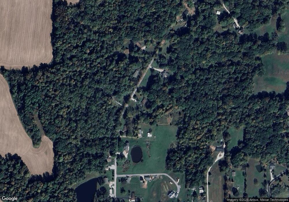
Map
Nearby Homes
- 600 Old Moore Rd
- 0 Old Moore Rd
- 1156 Cope Rd
- 4418 E Centennial Crest Dr
- 4262 State Road 44
- 911 Centennial Rd
- TBD Maple Grove Rd
- 0 Rembrandt East Dr Unit MBR22067693
- 3395 State Road 44
- 4320 C S R 252
- 8205 Mcwhorter Rd
- 0 Dynasty Ridge Rd
- 8385 Mcwhorter Rd
- 0 S Cove Rd
- 0 S Cove Rd Unit MBR22048618
- 4523 E Parkwood Dr
- 0 E Parkwood Dr Unit MBR22044924
- 2013 S Austin Ct
- 8577 State Road 44
- 0 E Sunnyslope Unit MBR22044789
- 750 Old Moore Rd
- 655 Old Moore Rd
- 795 Old Moore Rd
- 700 Old Moore Rd
- 605 Old Moore Rd
- 825 Old Moore Rd
- 790 Old Moore Rd
- 790 Old Moore Rd
- 650 Old Moore Rd
- 455 Old Moore Rd
- 631 Old Moore Rd
- 505 Old Moore Rd
- 895 Old Moore Rd
- 463 Old Moore Rd
- 0 Dogwood Trace Unit MBR21361585
- 0 Dogwood Trace
- 475 Old Moore Rd
- 951 Old Moore Rd
- 935 Old Moore Rd
- 459 Old Moore Rd