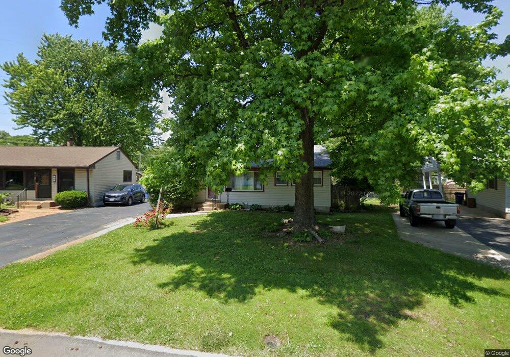
725 Saint Patrice Ln Florissant, MO 63031
Estimated Value: $169,856 - $176,000
3
Beds
1
Bath
1,376
Sq Ft
$126/Sq Ft
Est. Value
About This Home
This home is located at 725 Saint Patrice Ln, Florissant, MO 63031 and is currently estimated at $173,214, approximately $125 per square foot. 725 Saint Patrice Ln is a home located in St. Louis County with nearby schools including Duchesne Elementary School, Cross Keys Middle School, and McCluer North High School.
Ownership History
Date
Name
Owned For
Owner Type
Purchase Details
Closed on
Feb 9, 2001
Sold by
Hastings Samuel F and Hastings Patricia A
Bought by
Lynch Mary F
Current Estimated Value
Home Financials for this Owner
Home Financials are based on the most recent Mortgage that was taken out on this home.
Original Mortgage
$64,000
Outstanding Balance
$23,048
Interest Rate
7.04%
Estimated Equity
$150,166
Create a Home Valuation Report for This Property
The Home Valuation Report is an in-depth analysis detailing your home's value as well as a comparison with similar homes in the area
Home Values in the Area
Average Home Value in this Area
Purchase History
| Date | Buyer | Sale Price | Title Company |
|---|---|---|---|
| Lynch Mary F | $80,000 | -- | |
| Lynch Mary F | $80,000 | -- |
Source: Public Records
Mortgage History
| Date | Status | Borrower | Loan Amount |
|---|---|---|---|
| Open | Lynch Mary F | $64,000 | |
| Closed | Lynch Mary F | $64,000 |
Source: Public Records
Tax History Compared to Growth
Tax History
| Year | Tax Paid | Tax Assessment Tax Assessment Total Assessment is a certain percentage of the fair market value that is determined by local assessors to be the total taxable value of land and additions on the property. | Land | Improvement |
|---|---|---|---|---|
| 2025 | $2,207 | $31,660 | $4,810 | $26,850 |
| 2024 | $2,207 | $28,490 | $3,330 | $25,160 |
| 2023 | $2,200 | $28,490 | $3,330 | $25,160 |
| 2022 | $1,894 | $21,510 | $4,810 | $16,700 |
| 2021 | $1,862 | $21,510 | $4,810 | $16,700 |
| 2020 | $1,640 | $17,810 | $4,260 | $13,550 |
| 2019 | $1,608 | $17,810 | $4,260 | $13,550 |
| 2018 | $1,711 | $16,950 | $2,260 | $14,690 |
| 2017 | $1,702 | $16,950 | $2,260 | $14,690 |
| 2016 | $1,938 | $18,850 | $4,160 | $14,690 |
| 2015 | $1,950 | $18,850 | $4,160 | $14,690 |
| 2014 | $1,679 | $16,720 | $4,050 | $12,670 |
Source: Public Records
Map
Nearby Homes
- 50 Saint Walter Ln
- 540 S Jefferson St
- 630 Graham Rd
- 305 S Lafayette St
- 15 Henson Ln
- 215 Maple Dr
- 270 W Saint Anthony Ln
- 279 Elmdale Ct
- 1110 Saint Bernadette Ln
- 216 Graham Rd
- 175 Clark St
- 250 Maple Dr
- 580 Saint Marie St
- 200 Calbreath Ct
- 7604 Hazelcrest Dr Unit C
- 260 N Jefferson St
- 940 Harrison St
- 7731 Hazelcrest Dr Unit H
- 7446 Sieloff Dr Unit H
- 7594 Hazelcrest Dr Unit B
- 745 Saint Patrice Ln
- 665 Saint Brendan Ln
- 705 Saint Patrice Ln
- 645 Saint Brendan Ln
- 765 Saint Patrice Ln
- 785 Saint Patrice Ln
- 785 St Patrice Ln
- 700 Saint Patrice Ln
- 625 Saint Brendan Ln
- 740 Saint Edith Ln
- 720 Saint Edith Ln
- 760 Saint Edith Ln
- 700 Saint Edith Ln
- 800 Saint Patrice Ln
- 805 Saint Patrice Ln
- 780 Saint Edith Ln
- 680 Saint Edith Ln
- 785 Saint Brendan Ln
- 660 Saint Brendan Ln
- 680 Saint Brendan Ln