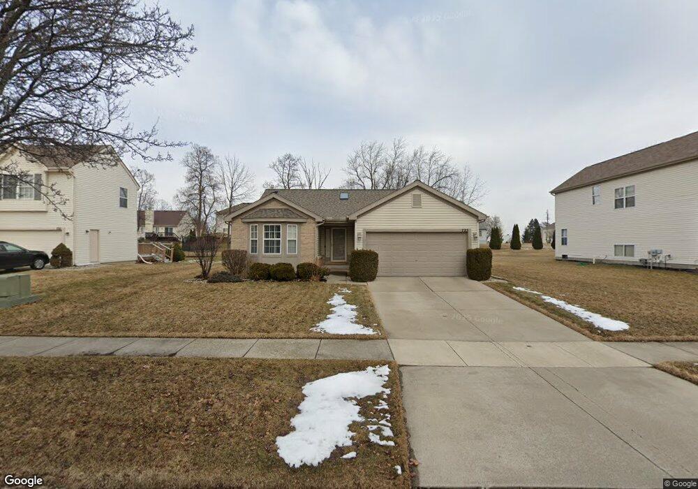
725 Spellman Dr Flint, MI 48503
Downtown Flint NeighborhoodEstimated Value: $136,000 - $216,000
3
Beds
3
Baths
1,362
Sq Ft
$137/Sq Ft
Est. Value
About This Home
This home is located at 725 Spellman Dr, Flint, MI 48503 and is currently estimated at $187,219, approximately $137 per square foot. 725 Spellman Dr is a home located in Genesee County with nearby schools including Doyle/Ryder School, Flint Cultural Center Academy, and WAY Academy of Flint.
Ownership History
Date
Name
Owned For
Owner Type
Purchase Details
Closed on
Feb 23, 2001
Sold by
Charter Oak Homes Inc
Bought by
Hairston Pamela L
Current Estimated Value
Home Financials for this Owner
Home Financials are based on the most recent Mortgage that was taken out on this home.
Original Mortgage
$128,360
Outstanding Balance
$46,157
Interest Rate
7.02%
Estimated Equity
$141,062
Create a Home Valuation Report for This Property
The Home Valuation Report is an in-depth analysis detailing your home's value as well as a comparison with similar homes in the area
Home Values in the Area
Average Home Value in this Area
Purchase History
| Date | Buyer | Sale Price | Title Company |
|---|---|---|---|
| Hairston Pamela L | $160,469 | Lawyers Title |
Source: Public Records
Mortgage History
| Date | Status | Borrower | Loan Amount |
|---|---|---|---|
| Open | Hairston Pamela L | $128,360 |
Source: Public Records
Tax History Compared to Growth
Tax History
| Year | Tax Paid | Tax Assessment Tax Assessment Total Assessment is a certain percentage of the fair market value that is determined by local assessors to be the total taxable value of land and additions on the property. | Land | Improvement |
|---|---|---|---|---|
| 2025 | $2,404 | $76,300 | $0 | $0 |
| 2024 | $2,128 | $74,100 | $0 | $0 |
| 2023 | $2,062 | $69,700 | $0 | $0 |
| 2022 | $0 | $59,100 | $0 | $0 |
| 2021 | $2,177 | $51,900 | $0 | $0 |
| 2020 | $1,913 | $44,700 | $0 | $0 |
| 2019 | $1,897 | $34,100 | $0 | $0 |
| 2018 | $2,002 | $34,500 | $0 | $0 |
| 2017 | $2,051 | $0 | $0 | $0 |
| 2016 | $2,084 | $0 | $0 | $0 |
| 2015 | -- | $0 | $0 | $0 |
| 2014 | -- | $0 | $0 | $0 |
| 2012 | -- | $39,200 | $0 | $0 |
Source: Public Records
Map
Nearby Homes
- 1706 Wilberforce Cir
- 805 Columbia Dr
- 1303 Root St
- 329 E Wood St
- 235 Page St
- 1016 Garland St
- 217 W 7th Ave
- 1273 Broadway Blvd
- 1606 Garland St
- 1215 Bennett Ave
- 1379 Washington Ave
- 416 W 2nd Ave Unit 4
- 1445 Kearsley Park Kearsley Park
- 325 W Paterson St
- 407 W 2nd Ave
- 218 E Jackson Ave
- 115 W Baker St
- 317 W Witherbee St
- 620 E 2nd St
- 607 East St
- 721 Spellman Dr
- 729 Spellman Dr
- 717 Spellman Dr
- 724 Wilberforce Dr
- 720 Wilberforce Dr
- 728 Wilberforce Dr
- 734 Spellman Dr
- 738 Spellman Dr
- 716 Wilberforce Dr
- 742 Spellman Dr
- 730 Spellman Dr
- 1602 Loyola Dr
- 1528 Loyola Dr
- 1606 Loyola Dr
- 712 Wilberforce Dr
- 726 Spellman Dr
- 709 Spellman Dr
- 713 Spellman Dr
- 1610 Loyola Dr
- 1513 Loyola Dr