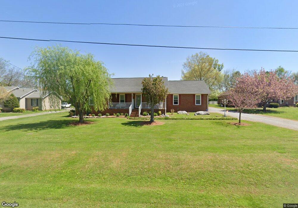
725 Spike Trail Murfreesboro, TN 37129
Murfreesboro AreaEstimated Value: $367,000 - $429,000
About This Home
This home is located at 725 Spike Trail, Murfreesboro, TN 37129 and is currently estimated at $407,667, approximately $192 per square foot. 725 Spike Trail is a home located in Rutherford County with nearby schools including Blackman Elementary School, Blackman Middle School, and Blackman High School.
Ownership History
We collect this data history from publicly available records. To have your information removed, we recommend requesting removal directly through your county’s website.
Purchase Details
Home Financials for this Owner
Home Financials are based on the most recent Mortgage that was taken out on this home.Purchase Details
Purchase Details
Purchase Details
Home Values in the Area
Average Home Value in this Area
Purchase History
We collect this data history from publicly available records. To have your information removed, we recommend requesting removal directly through your county’s website.
| Date | Buyer | Sale Price | Title Company |
|---|---|---|---|
| $129,900 | -- | ||
| $131,391 | -- | ||
| -- | -- | ||
| -- | -- |
Mortgage History
We collect this data history from publicly available records. To have your information removed, we recommend requesting removal directly through your county’s website.
| Date | Status | Borrower | Loan Amount |
|---|---|---|---|
| Open | $148,000 | ||
| Closed | $125,406 | ||
| Closed | $109,350 | ||
| Previous Owner | $36,460 |
Tax History
We collect this data history from publicly available records. To have your information removed, we recommend requesting removal directly through your county’s website.
| Year | Tax Paid | Tax Assessment Tax Assessment Total Assessment is a certain percentage of the fair market value that is determined by local assessors to be the total taxable value of land and additions on the property. | Land | Improvement |
|---|---|---|---|---|
| 2025 | $1,573 | $84,375 | $13,750 | $70,625 |
| 2024 | $1,583 | $84,375 | $13,750 | $70,625 |
| 2023 | $1,583 | $84,375 | $13,750 | $70,625 |
| 2022 | $1,364 | $84,375 | $13,750 | $70,625 |
| 2021 | $1,267 | $57,075 | $9,250 | $47,825 |
| 2020 | $1,267 | $57,075 | $9,250 | $47,825 |
| 2019 | $1,267 | $57,075 | $9,250 | $47,825 |
| 2018 | $1,198 | $57,075 | $0 | $0 |
| 2017 | $1,185 | $44,225 | $0 | $0 |
| 2016 | $1,185 | $44,225 | $0 | $0 |
| 2015 | $1,185 | $44,225 | $0 | $0 |
| 2014 | $1,100 | $44,225 | $0 | $0 |
| 2013 | -- | $39,375 | $0 | $0 |
Map
- 645 Spike Trail
- 3714 Alchemy Ct
- 933 Wolves Den Place
- 1011 Wolves Den Place
- 3706 Righteous Dr
- 1008 Sitting Bull Crossing
- 812 Staten Dr
- 876 Wolves Den Place
- 913 Sitting Bull Crossing
- 920 Shaman Crossing
- 3737 Southbend Dr
- 848 Blackfoot Trail
- 4063 Cannonsgate Ln
- 945 Manson Crossing Dr
- 4115 War Emblem Ln
- 4129 Maximillion Cir
- 2505 Miranda Dr
- 935 Contessa Dr
- 524 Gresham Ln
- 4423 Mordecai Ave
- 731 Spike Trail
- 719 Spike Trail
- 635 Spike Trail
- 737 Spike Trail
- 724 Spike Trail
- 713 Spike Trail
- 720 Spike Trail
- 625 Spike Trail
- 732 Spike Trail
- 743 Spike Trail
- 707 Spike Trail
- 653 Spike Trail
- 615 Spike Trail
- 712 Spike Trail
- 804 Spike Trail
- 663 Spike Trail
- 803 Spike Trail
- 605 Spike Trail
- 620 Doe Dr
- 630 Spike Trail
Ask me questions while you tour the home.