Estimated Value: $373,000 - $397,000
--
Bed
--
Bath
1,484
Sq Ft
$261/Sq Ft
Est. Value
About This Home
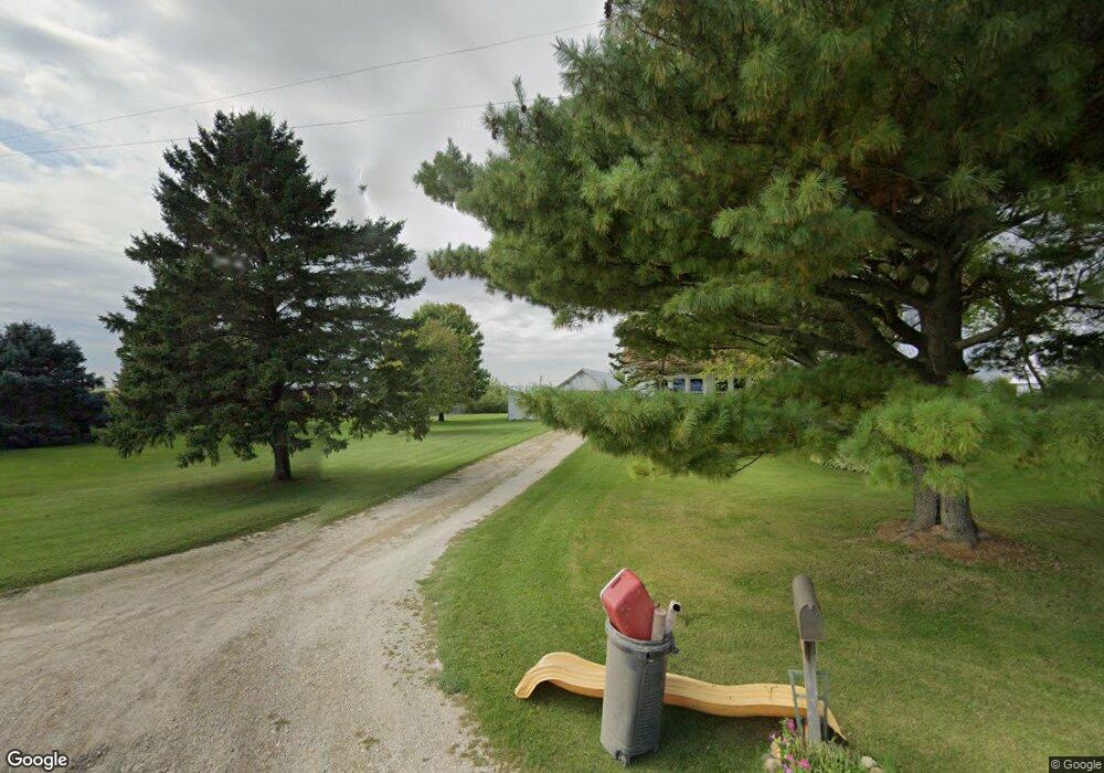
This home is located at 725 Tyler Rd, Plano, IL 60545 and is currently estimated at $386,752, approximately $260 per square foot. 725 Tyler Rd is a home located in Kendall County with nearby schools including P.H. Miller Elementary School, Centennial Elementary School, and Emily G. Johns School.
Ownership History
Date
Name
Owned For
Owner Type
Purchase Details
Closed on
Nov 13, 2024
Sold by
Mitchell Richard and Mitchell Donna
Bought by
Howorth Dillon
Current Estimated Value
Home Financials for this Owner
Home Financials are based on the most recent Mortgage that was taken out on this home.
Original Mortgage
$280,000
Outstanding Balance
$277,218
Interest Rate
6.13%
Mortgage Type
New Conventional
Estimated Equity
$109,534
Purchase Details
Closed on
Oct 18, 2002
Sold by
Kuhn Lp
Bought by
Mitchell Richard and Mitchell Donna
Home Financials for this Owner
Home Financials are based on the most recent Mortgage that was taken out on this home.
Original Mortgage
$148,000
Interest Rate
6.23%
Create a Home Valuation Report for This Property
The Home Valuation Report is an in-depth analysis detailing your home's value as well as a comparison with similar homes in the area
Home Values in the Area
Average Home Value in this Area
Purchase History
| Date | Buyer | Sale Price | Title Company |
|---|---|---|---|
| Howorth Dillon | $350,000 | None Listed On Document | |
| Howorth Dillon | $350,000 | None Listed On Document | |
| Mitchell Richard | $185,000 | First American Title Co |
Source: Public Records
Mortgage History
| Date | Status | Borrower | Loan Amount |
|---|---|---|---|
| Open | Howorth Dillon | $280,000 | |
| Closed | Howorth Dillon | $280,000 | |
| Previous Owner | Mitchell Richard | $148,000 |
Source: Public Records
Tax History Compared to Growth
Tax History
| Year | Tax Paid | Tax Assessment Tax Assessment Total Assessment is a certain percentage of the fair market value that is determined by local assessors to be the total taxable value of land and additions on the property. | Land | Improvement |
|---|---|---|---|---|
| 2024 | $8,151 | $114,604 | $24,910 | $89,694 |
| 2023 | $7,815 | $104,688 | $24,910 | $79,778 |
| 2022 | $7,815 | $97,700 | $24,910 | $72,790 |
| 2021 | $7,399 | $91,660 | $23,370 | $68,290 |
| 2020 | $7,595 | $91,202 | $22,912 | $68,290 |
| 2019 | $7,504 | $88,272 | $21,971 | $66,301 |
| 2018 | $7,783 | $87,226 | $20,925 | $66,301 |
| 2017 | $7,569 | $79,297 | $19,023 | $60,274 |
| 2016 | $7,225 | $71,435 | $19,023 | $52,412 |
| 2015 | $3,447 | $61,168 | $16,371 | $44,797 |
| 2014 | -- | $56,045 | $15,000 | $41,045 |
| 2013 | -- | $56,045 | $16,000 | $40,045 |
Source: Public Records
Map
Nearby Homes
- 6128 E Sandwich Rd
- 934 Vilman Rd
- 1750 Little Rock Rd
- 0 River Ridge Ln Unit Lot 24
- 3720 W Sandwich Rd
- 17551 Frazier Rd
- 15655 S Memory Ln
- 15582 Douglas Ave
- 1019 Freeman St
- 171 Woodland Dr
- 1024 Daniel St
- 508 Ramsden Rd
- 1337 Deer Run Trail
- 506 Hemmingsen St
- 1245 Daniel Ln
- 405 Cooper St
- 1227 Red Fox Cir
- 1267 Red Fox Cir
- 608 Bender St
- 604 W Lee St