725 Williams St Unit 4 Salisbury, NC 28144
Estimated Value: $159,000 - $183,000
About This Home
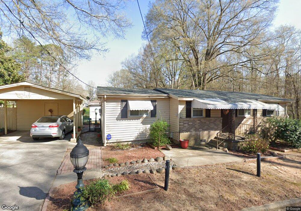
This home is located at 725 Williams St Unit 4, Salisbury, NC 28144 and is currently estimated at $174,770, approximately $163 per square foot. 725 Williams St Unit 4 is a home located in Rowan County with nearby schools including Hurley Elementary School, North Rowan Middle School, and Salisbury High School.
Ownership History
We collect this data history from publicly available records. To have your information removed, we recommend requesting removal directly through your county’s website.
Purchase Details
Home Financials for this Owner
Home Financials are based on the most recent Mortgage that was taken out on this home.Purchase Details
Home Values in the Area
Average Home Value in this Area
Purchase History
We collect this data history from publicly available records. To have your information removed, we recommend requesting removal directly through your county’s website.
| Date | Buyer | Sale Price | Title Company |
|---|---|---|---|
| $140,000 | None Listed On Document | ||
| -- | None Listed On Document | ||
| -- | -- |
Mortgage History
We collect this data history from publicly available records. To have your information removed, we recommend requesting removal directly through your county’s website.
| Date | Status | Borrower | Loan Amount |
|---|---|---|---|
| Open | $140,000 |
Tax History
We collect this data history from publicly available records. To have your information removed, we recommend requesting removal directly through your county’s website.
| Year | Tax Paid | Tax Assessment Tax Assessment Total Assessment is a certain percentage of the fair market value that is determined by local assessors to be the total taxable value of land and additions on the property. | Land | Improvement |
|---|---|---|---|---|
| 2025 | $1,446 | $120,925 | $19,635 | $101,290 |
| 2024 | $1,446 | $120,925 | $19,635 | $101,290 |
| 2023 | $590 | $98,653 | $19,635 | $79,018 |
| 2022 | $444 | $64,459 | $13,745 | $50,714 |
| 2021 | $888 | $64,459 | $13,745 | $50,714 |
| 2020 | $444 | $64,459 | $13,745 | $50,714 |
| 2019 | $444 | $64,459 | $13,745 | $50,714 |
| 2018 | $363 | $53,459 | $13,744 | $39,715 |
| 2017 | $361 | $53,459 | $13,744 | $39,715 |
| 2016 | $351 | $53,459 | $13,744 | $39,715 |
| 2015 | $354 | $53,459 | $13,744 | $39,715 |
| 2014 | $357 | $54,697 | $13,057 | $41,640 |
Map
- 1219 Old Wilkesboro Rd
- 953 Fairmont Ave
- 1212 W Monroe St
- 411 Grim St
- 907 Maple Ave
- 409 Messner St
- 610 Milford Hills Rd
- 1511 W Horah St
- 1534 W Horah St
- 1102 W Horah St
- 1100 W Horah St
- 823 Lincolnton Rd
- 00 W Horah St
- 827 W Horah St
- 1100 W Fisher St
- 615 W Marsh St
- 812 Maupin Ave Unit 812
- 806 Maupin Ave
- 1325 Jake Alexander Blvd W
- 304 Mitchell Ave
- 725 Williams St
- 1327 Old Plank Rd
- 1326 Old Plank Rd
- 719 Williams St
- 720 Williams St
- 1345 Standish St
- 1345 Standish St Unit A
- 1345 Standish St Unit B
- 1345 Standish St Unit C
- 1306 Old Plank Rd
- 1341 Standish St
- 1333 Standish St
- 1405 Standish St
- 1305 Old Plank Rd
- 1304 Old Plank Rd
- 1331 Standish St
- 1325 Standish St
- 1431 Standish St
- 1228 Old Plank Rd
- 1231 Old Plank Rd
Ask me questions while you tour the home.