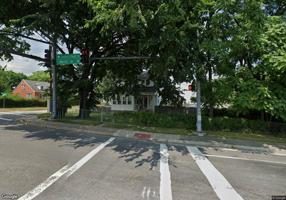
7250 Sollers Point Rd Dundalk, MD 21222
Estimated Value: $299,003 - $371,000
--
Bed
2
Baths
1,930
Sq Ft
$170/Sq Ft
Est. Value
About This Home
This home is located at 7250 Sollers Point Rd, Dundalk, MD 21222 and is currently estimated at $327,751, approximately $169 per square foot. 7250 Sollers Point Rd is a home located in Baltimore County with nearby schools including Logan Elementary, Dundalk Middle School, and Dundalk High School.
Ownership History
Date
Name
Owned For
Owner Type
Purchase Details
Closed on
May 22, 2013
Sold by
Pope Robert W and Crouse Lisa M
Bought by
Pope Robert W
Current Estimated Value
Home Financials for this Owner
Home Financials are based on the most recent Mortgage that was taken out on this home.
Original Mortgage
$211,207
Outstanding Balance
$149,326
Interest Rate
3.43%
Mortgage Type
FHA
Estimated Equity
$178,425
Purchase Details
Closed on
May 17, 1999
Sold by
Szydlowski Michael G
Bought by
Pope Robert W and Pope Lisa M
Purchase Details
Closed on
Jun 12, 1997
Sold by
Szydlowski Michael G
Bought by
Szydlowski Michael G and Szydlowski Mary E
Create a Home Valuation Report for This Property
The Home Valuation Report is an in-depth analysis detailing your home's value as well as a comparison with similar homes in the area
Home Values in the Area
Average Home Value in this Area
Purchase History
| Date | Buyer | Sale Price | Title Company |
|---|---|---|---|
| Pope Robert W | -- | None Available | |
| Pope Robert W | $118,500 | -- | |
| Szydlowski Michael G | -- | -- |
Source: Public Records
Mortgage History
| Date | Status | Borrower | Loan Amount |
|---|---|---|---|
| Open | Pope Robert W | $211,207 |
Source: Public Records
Tax History Compared to Growth
Tax History
| Year | Tax Paid | Tax Assessment Tax Assessment Total Assessment is a certain percentage of the fair market value that is determined by local assessors to be the total taxable value of land and additions on the property. | Land | Improvement |
|---|---|---|---|---|
| 2025 | $3,501 | $213,767 | -- | -- |
| 2024 | $3,501 | $197,333 | $0 | $0 |
| 2023 | $1,694 | $180,900 | $68,400 | $112,500 |
| 2022 | $3,225 | $173,600 | $0 | $0 |
| 2021 | $3,215 | $166,300 | $0 | $0 |
| 2020 | $3,215 | $159,000 | $68,400 | $90,600 |
| 2019 | $2,803 | $152,533 | $0 | $0 |
| 2018 | $2,619 | $146,067 | $0 | $0 |
| 2017 | $2,596 | $139,600 | $0 | $0 |
| 2016 | $2,325 | $139,600 | $0 | $0 |
| 2015 | $2,325 | $139,600 | $0 | $0 |
| 2014 | $2,325 | $139,900 | $0 | $0 |
Source: Public Records
Map
Nearby Homes
- 2930 Sollers Point Rd
- 2706 Kirkleigh Rd
- 7608 Dunmanway
- 2921 Yorkway
- 98 Kentway
- 7245 Meadow Ln
- 2607 Yorkway
- 7252 Meadow Ln
- 1940 Wareham Rd
- 2743 Kirkleigh Rd
- 2707 Moorgate Rd
- 2970 Yorkway
- 2541 Yorkway
- 2994 Sollers Point Rd
- 25 Leeway
- 2738 Moorgate Rd
- 1901 Distillery Ave
- 1940 Holborn Rd
- Clarendon 3 Story Plan at Foundry Station
- Mozart 3 Story Plan at Foundry Station
- 1959 Midland Rd
- 1955 Midland Rd
- 2102 Merritt Ave
- 1946 Midland Rd
- 1944 Midland Rd
- 2100 Merritt Ave
- 1942 Midland Rd
- 7248 Sollers Point Rd
- 2113 Merritt Ave
- 1940 Midland Rd
- 2109 Merritt Ave
- 2115 Merritt Ave
- 1960 Sunberry Rd
- 1949 Midland Rd
- 2101 Merritt Ave
- 2105 Merritt Ave
- 2800 Sollers Point Rd
- 7246 Sollers Point Rd
- 1958 Sunberry Rd
- 2033 Merritt Ave