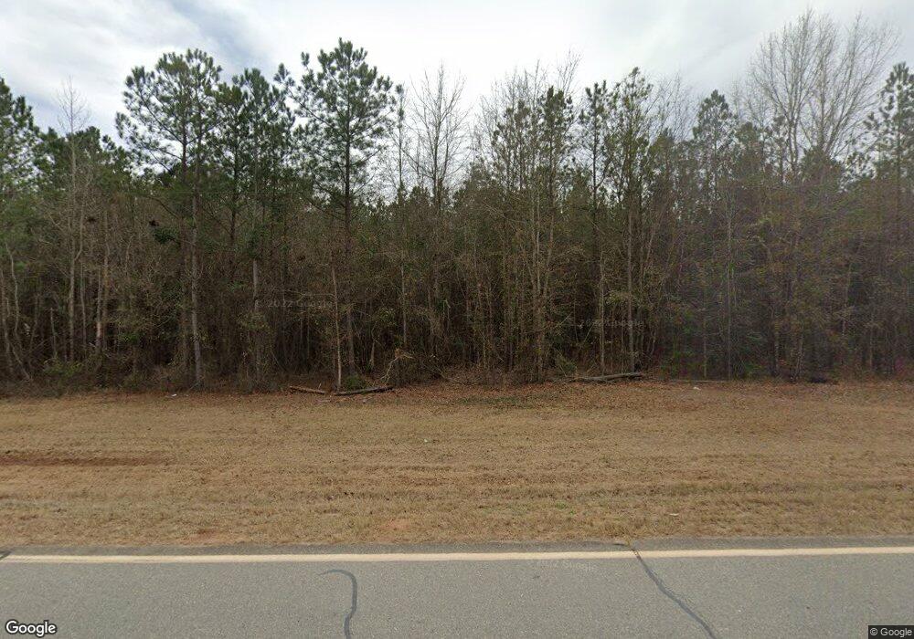
7251 Ga Highway 96 Irwinton, GA 31042
Estimated Value: $160,000 - $466,072
2
Beds
2
Baths
1,800
Sq Ft
$163/Sq Ft
Est. Value
About This Home
This home is located at 7251 Ga Highway 96, Irwinton, GA 31042 and is currently estimated at $294,018, approximately $163 per square foot. 7251 Ga Highway 96 is a home with nearby schools including Wilkinson County Primary School, Wilkinson County Elementary School, and Wilkinson County Middle School.
Ownership History
Date
Name
Owned For
Owner Type
Purchase Details
Closed on
Jun 20, 2006
Sold by
Wallis Barry A
Bought by
Hattaway Steven E and Hattaway Tammie A
Current Estimated Value
Home Financials for this Owner
Home Financials are based on the most recent Mortgage that was taken out on this home.
Original Mortgage
$58,400
Outstanding Balance
$3,829
Interest Rate
6.55%
Mortgage Type
New Conventional
Estimated Equity
$290,189
Purchase Details
Closed on
Dec 20, 2002
Sold by
Branch Banking & Trust Co
Bought by
Wallis Barry A
Purchase Details
Closed on
Jun 4, 2002
Sold by
Shepherd Land & Timber Co
Bought by
Branch Banking & Trust Co
Create a Home Valuation Report for This Property
The Home Valuation Report is an in-depth analysis detailing your home's value as well as a comparison with similar homes in the area
Home Values in the Area
Average Home Value in this Area
Purchase History
| Date | Buyer | Sale Price | Title Company |
|---|---|---|---|
| Hattaway Steven E | $218,400 | -- | |
| Wallis Barry A | $70,800 | -- | |
| Branch Banking & Trust Co | $141,000 | -- |
Source: Public Records
Mortgage History
| Date | Status | Borrower | Loan Amount |
|---|---|---|---|
| Open | Hattaway Steven E | $58,400 |
Source: Public Records
Tax History Compared to Growth
Tax History
| Year | Tax Paid | Tax Assessment Tax Assessment Total Assessment is a certain percentage of the fair market value that is determined by local assessors to be the total taxable value of land and additions on the property. | Land | Improvement |
|---|---|---|---|---|
| 2024 | $2,641 | $126,711 | $69,458 | $57,253 |
| 2023 | $2,193 | $89,342 | $45,256 | $44,086 |
| 2022 | $2,130 | $88,142 | $45,256 | $42,886 |
| 2021 | $1,918 | $81,936 | $45,256 | $36,680 |
| 2020 | $1,898 | $81,936 | $45,256 | $36,680 |
| 2019 | $1,878 | $81,936 | $45,256 | $36,680 |
| 2018 | $2,699 | $82,035 | $45,355 | $36,680 |
| 2017 | $2,633 | $82,035 | $45,355 | $36,680 |
| 2016 | $2,633 | $82,035 | $45,355 | $36,680 |
| 2015 | $1,467 | $76,742 | $45,355 | $31,388 |
| 2014 | $1,467 | $76,743 | $45,355 | $31,388 |
| 2013 | $1,467 | $76,742 | $45,354 | $31,388 |
Source: Public Records
Map
Nearby Homes
- 2382 Gallimore Mill Rd
- 6620 J R Sims Rd Unit LotWP001
- 0 Riggins Mills Rd Unit 179911
- 6620 Jr Sims Rd
- 2801 Auburn St
- 103 Constitution Circle Dr Unit D
- 103 Constitution Circle Dr Unit C
- 278 State Route 96
- 983 Main St
- 102 Morningside Dr
- 522 Main St
- 00 Ac Ct
- 434 N Main St
- 0 State Route 96
- 0 Georgia 18
- 210 Balls Church Rd
- 00 Riggins Mills Rd
- 676 N 2nd St
- 7217 Ga Highway 18
- 309 Walnut St
- 7193 Ga Highway 96
- 7063 Ga Highway 96
- 7111 Ga Highway 96
- 6904 Ga Highway 96
- 7114 Ga Highway 96
- 7114 State Route 96
- 7419 Ga Highway 96
- 6657 Ga Highway 96
- 6500 Ga Highway 96
- 6950 Highway 96
- 29 Tarpley Rd Unit 6
- 29 Tarpley Rd
- 979 Old MacOn Rd
- 525 Old MacOn Rd
- 920 Old MacOn Rd
- 920 Old MacOn Rd Unit 7
- 1027 Old MacOn Rd
- 6508 Ga Highway 96
- 6508 Ga Highway 96
- 7856 Ga Highway 96
