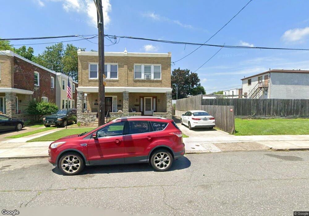
7252 Dungan Rd Philadelphia, PA 19111
Castor Gardens NeighborhoodEstimated Value: $293,248 - $328,000
3
Beds
1
Bath
1,350
Sq Ft
$224/Sq Ft
Est. Value
About This Home
This home is located at 7252 Dungan Rd, Philadelphia, PA 19111 and is currently estimated at $302,812, approximately $224 per square foot. 7252 Dungan Rd is a home located in Philadelphia County with nearby schools including Kennedy C. Crossan School, Castor Gardens Middle School, and Northeast High School.
Ownership History
Date
Name
Owned For
Owner Type
Purchase Details
Closed on
Jun 22, 2001
Sold by
Berger Robin
Bought by
Glass Philip
Current Estimated Value
Home Financials for this Owner
Home Financials are based on the most recent Mortgage that was taken out on this home.
Original Mortgage
$81,257
Outstanding Balance
$30,952
Interest Rate
7.14%
Mortgage Type
FHA
Estimated Equity
$271,860
Create a Home Valuation Report for This Property
The Home Valuation Report is an in-depth analysis detailing your home's value as well as a comparison with similar homes in the area
Home Values in the Area
Average Home Value in this Area
Purchase History
| Date | Buyer | Sale Price | Title Company |
|---|---|---|---|
| Glass Philip | $81,900 | -- |
Source: Public Records
Mortgage History
| Date | Status | Borrower | Loan Amount |
|---|---|---|---|
| Open | Glass Philip | $81,257 |
Source: Public Records
Tax History Compared to Growth
Tax History
| Year | Tax Paid | Tax Assessment Tax Assessment Total Assessment is a certain percentage of the fair market value that is determined by local assessors to be the total taxable value of land and additions on the property. | Land | Improvement |
|---|---|---|---|---|
| 2025 | $3,036 | $262,000 | $52,400 | $209,600 |
| 2024 | $3,036 | $262,000 | $52,400 | $209,600 |
| 2023 | $3,036 | $216,900 | $43,380 | $173,520 |
| 2022 | $2,349 | $216,900 | $43,380 | $173,520 |
| 2021 | $2,349 | $0 | $0 | $0 |
| 2020 | $2,349 | $0 | $0 | $0 |
| 2019 | $2,254 | $0 | $0 | $0 |
| 2018 | $2,079 | $0 | $0 | $0 |
| 2017 | $2,079 | $0 | $0 | $0 |
| 2016 | $2,079 | $0 | $0 | $0 |
| 2015 | $1,990 | $0 | $0 | $0 |
| 2014 | -- | $148,500 | $46,023 | $102,477 |
| 2012 | -- | $20,928 | $4,411 | $16,517 |
Source: Public Records
Map
Nearby Homes
- 7330 Montour St
- 1207 Cottman Ave
- 7352 Dungan Rd
- 7333 Tabor Ave
- 7146-50 Montour St
- 7415 Whitaker Ave
- 7418 Tabor Ave
- 7255 Bingham St
- 1423 Bleigh Ave
- 1431-35 Vista St
- 1016 Cottman Ave
- 7137 Lawndale Ave
- 7524 Whitaker Ave
- 1304 Faunce St
- 1012 Saint Vincent St
- 7333-35 Rising Sun Ave
- 1412 Faunce St
- 1409 Faunce St
- 1340 Napfle Ave
- 604 Brighton St
- 7250 Dungan Rd
- 7248 Dungan Rd
- 7246 Dungan Rd
- 1316 Cottman Ave
- 1314 Cottman Ave Unit 2
- 1312 Cottman Ave
- 7242 Dungan Rd
- 1310 Cottman Ave
- 7253 Montour St
- 7251 Montour St
- 7255 Montour St
- 7249 Montour St
- 7240 Dungan Rd
- 7247 Montour St
- 7245 Montour St
- 1332 Cottman Ave
- 7255 Dungan Rd
- 7253 Dungan Rd
- 7243 Montour St
- 7251 Dungan Rd