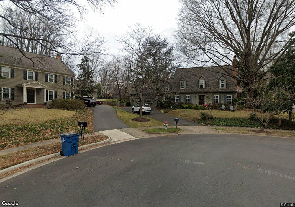
7252 Spring Side Way McLean, VA 22101
Estimated Value: $1,594,000 - $1,929,000
4
Beds
5
Baths
2,931
Sq Ft
$611/Sq Ft
Est. Value
About This Home
This home is located at 7252 Spring Side Way, McLean, VA 22101 and is currently estimated at $1,789,520, approximately $610 per square foot. 7252 Spring Side Way is a home located in Fairfax County with nearby schools including Churchill Road Elementary School, Cooper Middle School, and Langley High School.
Ownership History
Date
Name
Owned For
Owner Type
Purchase Details
Closed on
Jan 16, 2023
Sold by
Bradshaw Fordham David
Bought by
Bradshaw Fordham David and Baber Fordham Jennifer
Current Estimated Value
Home Financials for this Owner
Home Financials are based on the most recent Mortgage that was taken out on this home.
Original Mortgage
$304,500
Outstanding Balance
$294,504
Interest Rate
6.27%
Mortgage Type
New Conventional
Estimated Equity
$1,495,016
Purchase Details
Closed on
Aug 10, 2007
Sold by
Scavone Samuel J
Bought by
Fordham David Bradshaw and Deegan,Jennifer Baber
Home Financials for this Owner
Home Financials are based on the most recent Mortgage that was taken out on this home.
Original Mortgage
$750,000
Interest Rate
6.72%
Mortgage Type
New Conventional
Create a Home Valuation Report for This Property
The Home Valuation Report is an in-depth analysis detailing your home's value as well as a comparison with similar homes in the area
Home Values in the Area
Average Home Value in this Area
Purchase History
| Date | Buyer | Sale Price | Title Company |
|---|---|---|---|
| Bradshaw Fordham David | -- | Vantage Point Title | |
| Fordham David Bradshaw | $1,307,500 | -- |
Source: Public Records
Mortgage History
| Date | Status | Borrower | Loan Amount |
|---|---|---|---|
| Open | Bradshaw Fordham David | $304,500 | |
| Previous Owner | Fordham David Bradshaw | $750,000 |
Source: Public Records
Tax History
| Year | Tax Paid | Tax Assessment Tax Assessment Total Assessment is a certain percentage of the fair market value that is determined by local assessors to be the total taxable value of land and additions on the property. | Land | Improvement |
|---|---|---|---|---|
| 2025 | $17,934 | $1,568,610 | $722,000 | $846,610 |
| 2024 | $17,934 | $1,517,870 | $702,000 | $815,870 |
| 2023 | $17,493 | $1,519,140 | $702,000 | $817,140 |
| 2022 | $15,334 | $1,314,500 | $522,000 | $792,500 |
| 2021 | $13,237 | $1,106,270 | $517,000 | $589,270 |
| 2020 | $13,227 | $1,096,270 | $507,000 | $589,270 |
| 2019 | $12,985 | $1,076,270 | $487,000 | $589,270 |
| 2018 | $12,262 | $1,066,270 | $477,000 | $589,270 |
| 2017 | $12,258 | $1,035,270 | $446,000 | $589,270 |
| 2016 | $11,586 | $980,600 | $433,000 | $547,600 |
Source: Public Records
Map
Nearby Homes
- 1228 Providence Terrace
- 7351 Nicole Marie Ct
- 1112 Balls Hill Rd
- 1502 Chain Bridge Ct
- 1459 Dewberry Ct
- 7333 Lewinsville Park Ct
- 1410 Cedar Ave
- 7011 Elizabeth Dr
- 6911 Elm St
- 1429 Spring Vale Ave
- 7374 Eldorado St
- 7327 Westerly Ln
- 7054 Liberty Ln
- 7040 Liberty Ln
- 6909 Chelsea Rd
- 7049 Liberty Ln
- 7047 Liberty Ln Unit 32
- 7043 Liberty Ln
- 1622 Chain Bridge Rd
- 1620 Chain Bridge Rd
- 1327 Balls Hill Rd
- 7254 Spring Side Way
- 7250 Spring Side Way
- 1325 Balls Hill Rd
- 7256 Spring Side Way
- 1323 Balls Hill Rd
- 7251 Spring Side Way
- 7253 Spring Side Way
- 7217 Van Ness Ct
- 1200 Banton Cir
- 1321 Balls Hill Rd
- 1202 Banton Cir
- 7219 Van Ness Ct
- 7150 Merrimac Dr
- 7255 Spring Side Way
- 7221 Van Ness Ct
- 1203 Banton Cir
- 1322 Balls Hill Rd
- 7257 Spring Side Way
- 7259 Spring Side Way
Your Personal Tour Guide
Ask me questions while you tour the home.