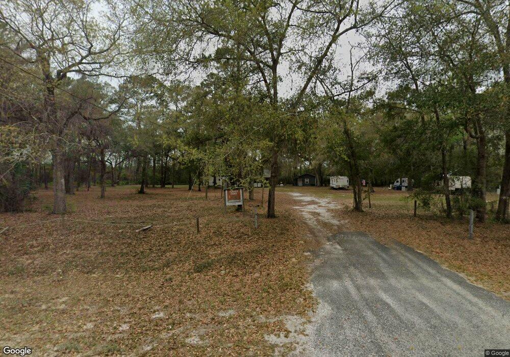
7253 Browntown Rd Waynesville, GA 31566
Estimated Value: $62,170 - $245,000
--
Bed
--
Bath
--
Sq Ft
2.37
Acres
About This Home
This home is located at 7253 Browntown Rd, Waynesville, GA 31566 and is currently estimated at $177,293. 7253 Browntown Rd is a home with nearby schools including Waynesville Primary School, Atkinson Elementary School, and Brantley County Middle School.
Ownership History
Date
Name
Owned For
Owner Type
Purchase Details
Closed on
Aug 4, 2021
Sold by
M A C A Partnership
Bought by
Edgy Charles H and Edgy Michael E
Current Estimated Value
Purchase Details
Closed on
Oct 5, 2009
Sold by
Morris Kenneth L
Bought by
M A C
Purchase Details
Closed on
Dec 13, 2007
Sold by
Wilson Joseph Edward
Bought by
Morris Kenneth Lambert and Waters Wilbr Leon
Purchase Details
Closed on
Feb 7, 2007
Sold by
Waters Wilbur Leon
Bought by
Morris Kenneth L
Purchase Details
Closed on
Mar 30, 2005
Sold by
Hutchinson Dorothy Strickl
Bought by
Waters Wilbur Leon and Wilson Joseph Edward
Purchase Details
Closed on
Mar 19, 2005
Sold by
Byrns Lisa Carver
Bought by
Hutchinson Dorothy Strickland
Create a Home Valuation Report for This Property
The Home Valuation Report is an in-depth analysis detailing your home's value as well as a comparison with similar homes in the area
Home Values in the Area
Average Home Value in this Area
Purchase History
| Date | Buyer | Sale Price | Title Company |
|---|---|---|---|
| Edgy Charles H | -- | -- | |
| M A C | $35,000 | -- | |
| Morris Kenneth Lambert | -- | -- | |
| Morris Kenneth L | $6,500 | -- | |
| Waters Wilbur Leon | $20,000 | -- | |
| Hutchinson Dorothy Strickland | -- | -- | |
| Hutchinson Dorothy Strickland | -- | -- |
Source: Public Records
Tax History Compared to Growth
Tax History
| Year | Tax Paid | Tax Assessment Tax Assessment Total Assessment is a certain percentage of the fair market value that is determined by local assessors to be the total taxable value of land and additions on the property. | Land | Improvement |
|---|---|---|---|---|
| 2024 | $520 | $9,783 | $4,572 | $5,211 |
| 2023 | $481 | $8,477 | $3,266 | $5,211 |
| 2022 | $434 | $6,877 | $3,266 | $3,611 |
| 2021 | $420 | $6,877 | $3,266 | $3,611 |
| 2020 | $427 | $6,877 | $3,266 | $3,611 |
| 2019 | $426 | $6,877 | $3,266 | $3,611 |
| 2018 | $348 | $10,276 | $5,799 | $4,477 |
| 2017 | $348 | $10,276 | $5,799 | $4,477 |
| 2016 | $548 | $10,276 | $5,799 | $4,477 |
| 2015 | -- | $10,276 | $5,799 | $4,477 |
Source: Public Records
Map
Nearby Homes
- 7535 Browntown Rd
- 544 Mineral Springs Rd
- 0 Joseph Wiggins Mineral Springs Rd Rd Unit 1615893
- 3069 Mineral Springs Rd
- 123 Daniel St
- Off Dogwood Rd
- 48 Hawks Way
- 53 Hawks Landing Dr
- 781 Stafford Rd
- 0 Dogwood Rd
- 227 Fred Ave
- 267 Clinton Ave
- 2101 Albert Gibson Rd
- 1089 Picketts Mill Trail
- 121 Red Gate Rd
- 235 Gibson Cir
- 647 Gibson Cir
- V/L 41 Fox Ridge
- V/L 42 Fox Ridge
- V/L 43 Fox Ridge
- 7315 Browntown Rd
- 7254 Browntown Rd
- 7314 Browntown Rd
- 7166 Browntown Rd
- 7170 Browntown Rd
- 7455 Browntown Rd
- 7455 Browntown Rd
- 71 Howie Way
- 7031 Browntown Rd
- 7609 Browntown Rd
- 6857 Browntown Rd
- 188 Greenleaf Rd
- 6929 Browntown Rd
- 134 Greenleaf Rd
- 6856 Browntown Rd
- 68 Scott Rd
- 140 Daniel Rd
- 168 Greenleaf Rd
- 6845 Browntown Rd
- 6840 Browntown Rd