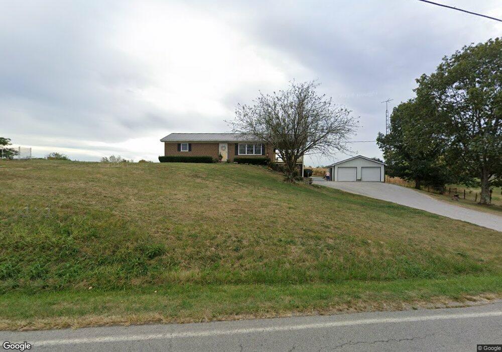
7256 Free Soil Rd Georgetown, OH 45121
Estimated Value: $193,000 - $243,000
Studio
--
Bath
1,050
Sq Ft
$201/Sq Ft
Est. Value
About This Home
This home is located at 7256 Free Soil Rd, Georgetown, OH 45121 and is currently estimated at $210,827, approximately $200 per square foot. 7256 Free Soil Rd is a home located in Brown County with nearby schools including Georgetown Elementary School and Georgetown Jr/Sr High School.
Create a Home Valuation Report for This Property
The Home Valuation Report is an in-depth analysis detailing your home's value as well as a comparison with similar homes in the area
Tax History
| Year | Tax Paid | Tax Assessment Tax Assessment Total Assessment is a certain percentage of the fair market value that is determined by local assessors to be the total taxable value of land and additions on the property. | Land | Improvement |
|---|---|---|---|---|
| 2024 | $1,594 | $52,260 | $7,410 | $44,850 |
| 2023 | $1,594 | $39,910 | $5,710 | $34,200 |
| 2022 | $1,288 | $39,910 | $5,710 | $34,200 |
| 2021 | $1,274 | $39,910 | $5,710 | $34,200 |
| 2020 | $1,145 | $34,700 | $4,960 | $29,740 |
| 2019 | $1,135 | $34,700 | $4,960 | $29,740 |
| 2018 | $1,125 | $34,700 | $4,960 | $29,740 |
| 2017 | $995 | $30,470 | $5,460 | $25,010 |
| 2016 | $995 | $30,470 | $5,460 | $25,010 |
| 2015 | $1,016 | $30,470 | $5,460 | $25,010 |
| 2014 | $1,016 | $29,970 | $4,960 | $25,010 |
| 2013 | $1,013 | $29,970 | $4,960 | $25,010 |
Source: Public Records
Map
Nearby Homes
- 7029 Free Soil Rd
- 470 Free Soil Rd
- 155 Free Soil Rd
- 0 St Rt 221 & Footbridge Unit 1826509
- 175 Douglas Cir
- 20 Douglas Cir
- 3571 Shaw Rd
- 25 Douglas Ln
- 505 S Water St
- 666 E State St
- 708 E State St
- 405 N Main St
- 406 E North St
- 399 Elmwood Ct
- 60 New St
- 508 Mount Orab Pike
- 427 Kenwood Ave
- 1 N Kenwood Ave
- 2 N Kenwood Ave
- 0 Barnes Rd Unit 1851215
- 7282 Free Soil Rd
- 7212 Free Soil Rd
- 7308 Free Soil Rd
- 0 Brownstown Arnheim Rd Unit 1117746
- 0 Us Rt 52 Unit 1121569
- 2 Old Us Rt 68
- 0 Us Rt 52 Unit 1155775
- 0 Brownstown Arnheim Rd Unit 1175084
- 0 Mt Orab Pike Unit 6.82ac 1745647
- 0 Mt Orab Pike Unit 6.82ac 1725946
- 0 Us Rt 52 Unit 1767566
- 0 Us Rt 52 Unit 1701345
- 0 Old A&p Hwy Unit 1099061
- 0 Mt Orab Pike Unit 1647363
- 0 Mt Orab Pike Unit 1627847
- 7318 Free Soil Rd
- 7336 Free Soil Rd
- 7473 Free Soil Rd
- 7062 Free Soil Rd
- 60 Wood Cliff Way
Your Personal Tour Guide
Ask me questions while you tour the home.