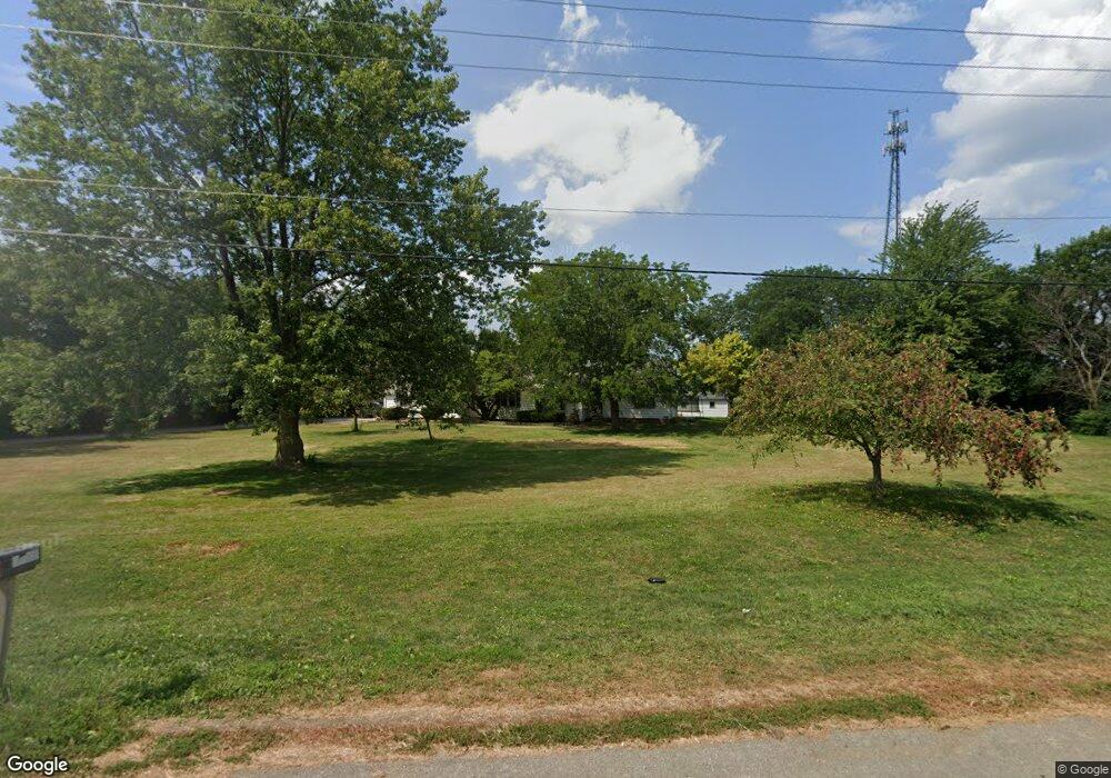
7256 Us Route 127 van Wert, OH 45891
Estimated Value: $210,000 - $356,000
2
Beds
2
Baths
2,116
Sq Ft
$122/Sq Ft
Est. Value
About This Home
This home is located at 7256 Us Route 127, van Wert, OH 45891 and is currently estimated at $258,936, approximately $122 per square foot. 7256 Us Route 127 is a home located in Van Wert County with nearby schools including Van Wert Early Childhood Center, Van Wert High School, and Lifelinks Community School.
Ownership History
Date
Name
Owned For
Owner Type
Purchase Details
Closed on
Mar 9, 2021
Sold by
Marbaugh Virginia
Bought by
Department Of Transportation
Current Estimated Value
Purchase Details
Closed on
Mar 19, 2007
Sold by
Laemmle Lela M
Bought by
Marbaugh Virginia
Home Financials for this Owner
Home Financials are based on the most recent Mortgage that was taken out on this home.
Original Mortgage
$102,500
Interest Rate
6.2%
Mortgage Type
New Conventional
Purchase Details
Closed on
Mar 30, 2003
Bought by
Marbaugh Virginia
Create a Home Valuation Report for This Property
The Home Valuation Report is an in-depth analysis detailing your home's value as well as a comparison with similar homes in the area
Home Values in the Area
Average Home Value in this Area
Purchase History
| Date | Buyer | Sale Price | Title Company |
|---|---|---|---|
| Department Of Transportation | -- | None Available | |
| Marbaugh Virginia | $102,500 | None Available | |
| Marbaugh Virginia | $102,500 | -- | |
| Marbaugh Virginia | $102,500 | -- |
Source: Public Records
Mortgage History
| Date | Status | Borrower | Loan Amount |
|---|---|---|---|
| Previous Owner | Marbaugh Virginia | $102,500 |
Source: Public Records
Tax History Compared to Growth
Tax History
| Year | Tax Paid | Tax Assessment Tax Assessment Total Assessment is a certain percentage of the fair market value that is determined by local assessors to be the total taxable value of land and additions on the property. | Land | Improvement |
|---|---|---|---|---|
| 2024 | $1,752 | $53,960 | $10,100 | $43,860 |
| 2023 | $1,752 | $53,960 | $10,100 | $43,860 |
| 2022 | $1,537 | $41,470 | $7,820 | $33,650 |
| 2021 | $1,495 | $41,470 | $7,820 | $33,650 |
| 2020 | $1,510 | $42,000 | $8,350 | $33,650 |
| 2019 | $1,396 | $38,360 | $7,500 | $30,860 |
| 2018 | $1,389 | $38,360 | $7,500 | $30,860 |
| 2017 | $1,347 | $38,360 | $7,500 | $30,860 |
| 2016 | $1,277 | $36,050 | $7,290 | $28,760 |
| 2015 | $1,277 | $36,050 | $7,290 | $28,760 |
| 2014 | $1,264 | $36,050 | $7,290 | $28,760 |
| 2013 | $1,370 | $36,050 | $7,290 | $28,760 |
Source: Public Records
Map
Nearby Homes
- 692 N Market St
- 142 Gleason Ave
- 668 N Washington St
- 623 N Cherry St
- 633 N Washington St
- 517 N Walnut St
- 138 E 2nd St
- 1006 Kear Rd
- 228 W 2nd St
- 919 E Sycamore St
- 303 Middle St
- 205 N Chestnut St
- 218 Burt St
- 214 N Jefferson St
- 202 N Jefferson St
- 13945 Lincoln Hwy
- 000 Lincoln Hwy
- 14934 Lincoln Hwy
- 00 Lincoln Hwy
- 502 E Central Ave
- 7225 Us Route 127
- 7235 Us Route 127
- 7192 Marsh Rd
- 7265 Us Route 127
- 7210 Marsh Rd
- 7125 Us Route 127
- 7313 Us Route 127
- 7232 Marsh Rd
- 7079 U S 127
- 13011 Us Route 224
- 13011 Us Route
- 12934 Union Pleasant Rd
- 12884 Union Pleasant Rd
- 13013 Us Route 224
- 12842 Union Pleasant Rd
- 13019 Us Route 224
- 13021 Us Route 224
- 13025 St Route