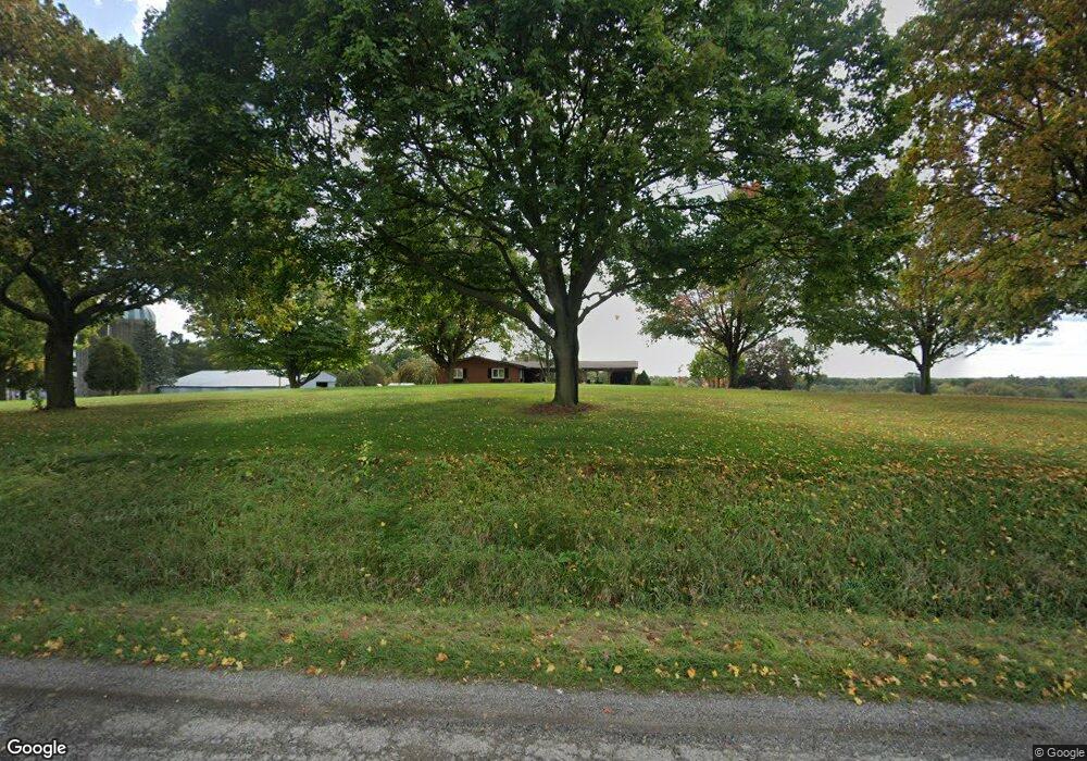
7259 Spring Arbor Rd Spring Arbor, MI 49283
Estimated Value: $159,000
Studio
--
Bath
--
Sq Ft
23
Acres
About This Home
This home is located at 7259 Spring Arbor Rd, Spring Arbor, MI 49283 and is currently priced at $159,000. 7259 Spring Arbor Rd is a home located in Jackson County with nearby schools including Western High School, Paragon Charter Academy, and Trinity Lutheran School.
Ownership History
Date
Name
Owned For
Owner Type
Purchase Details
Closed on
Dec 13, 2016
Sold by
Videto Max Worth and Videto Steven T
Bought by
Videto James Ernest Douglas and Videto Megan Catherine
Current Estimated Value
Home Financials for this Owner
Home Financials are based on the most recent Mortgage that was taken out on this home.
Original Mortgage
$92,000
Outstanding Balance
$74,403
Interest Rate
3.57%
Mortgage Type
USDA
Purchase Details
Closed on
Mar 31, 1998
Sold by
Videto Max and Videto Georgia M
Bought by
Videto, Max Tr
Create a Home Valuation Report for This Property
The Home Valuation Report is an in-depth analysis detailing your home's value as well as a comparison with similar homes in the area
Home Values in the Area
Average Home Value in this Area
Purchase History
| Date | Buyer | Sale Price | Title Company |
|---|---|---|---|
| Videto James Ernest Douglas | $92,000 | Attorney | |
| Videto, Max Tr | -- | -- |
Source: Public Records
Mortgage History
| Date | Status | Borrower | Loan Amount |
|---|---|---|---|
| Open | Videto James Ernest Douglas | $92,000 |
Source: Public Records
Tax History
| Year | Tax Paid | Tax Assessment Tax Assessment Total Assessment is a certain percentage of the fair market value that is determined by local assessors to be the total taxable value of land and additions on the property. | Land | Improvement |
|---|---|---|---|---|
| 2025 | $1,897 | $127,900 | $0 | $0 |
| 2024 | $11 | $126,900 | $0 | $0 |
| 2023 | $1,126 | $123,100 | $0 | $0 |
| 2022 | $1,721 | $106,600 | $0 | $0 |
| 2021 | $1,690 | $92,680 | $0 | $0 |
| 2020 | $1,670 | $110,300 | $0 | $0 |
| 2019 | $1,588 | $109,090 | $0 | $0 |
| 2018 | $1,582 | $108,180 | $46,160 | $62,020 |
| 2017 | $1,499 | $105,360 | $0 | $0 |
| 2016 | $956 | $98,880 | $71,120 | $27,760 |
| 2015 | $39,303 | $85,130 | $85,130 | $0 |
| 2014 | $39,303 | $83,190 | $83,190 | $0 |
| 2013 | -- | $83,190 | $83,190 | $0 |
Source: Public Records
Map
Nearby Homes
- V/L S Dearing Rd Unit 40 Acres Vacant Land
- 329 E Main St
- 6728 King Rd
- 0 King Rd Unit 25060444
- 7315 King Rd
- 2926 S Sandstone Rd
- 68 Dickens St
- 2503 Milford Rd
- 5427 Vrooman Rd
- 4055 Mathews Rd
- 2659 Fairway Dr
- 1864 Chapel Rd
- 8563 Mccain Rd
- 1570 Chapel Rd
- 20 AC VL Sears Rd
- 4540 Westbrook Dr Unit 45
- VL Sears Rd
- V/L Ikram Oaks Ln Unit 23
- V/L Ikram Oaks Ln Unit 2
- V/L Ikram Oaks Ln
- 7259 Spring Arbor Rd
- 7259 Spring Arbor Rd
- 7851 Spring Arbor Rd
- 3701 Emerson Rd
- 3999 Emerson Rd
- 4003 Emerson Rd
- 4003 Emerson Rd
- 7838 Spring Arbor Rd
- 7925 Spring Arbor Rd
- 7471 Spring Arbor Rd
- 7880 Spring Arbor Rd
- 3700 Dearing Rd Unit 40 Acres Vacant Land
- 4023 Emerson Rd
- 4051 Emerson Rd
- 7312 Spring Arbor Rd
- 4118 Emerson Rd
- 6370 Carter Rd
- 6460 Carter Rd
- 6460 Carter Rd
- P3 S Dearing Rd