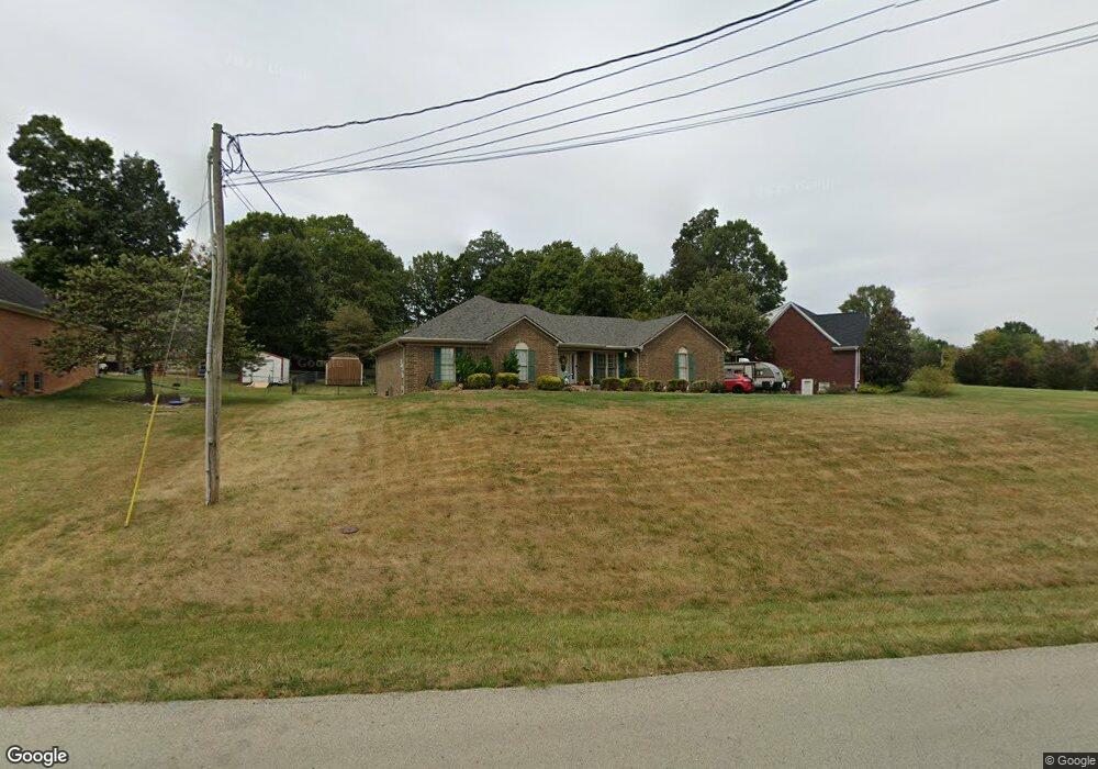
726 Floyds Fork Dr Shepherdsville, KY 40165
Estimated Value: $358,154 - $438,000
--
Bed
--
Bath
1,942
Sq Ft
$202/Sq Ft
Est. Value
About This Home
This home is located at 726 Floyds Fork Dr, Shepherdsville, KY 40165 and is currently estimated at $392,539, approximately $202 per square foot. 726 Floyds Fork Dr is a home located in Bullitt County with nearby schools including Freedom Elementary School, Hebron Middle School, and North Bullitt High School.
Ownership History
Date
Name
Owned For
Owner Type
Purchase Details
Closed on
May 3, 2021
Sold by
Maiden Rodney B and Maiden Elizabeth
Bought by
Roy Frank Allen and Roy Cathy Ann
Current Estimated Value
Home Financials for this Owner
Home Financials are based on the most recent Mortgage that was taken out on this home.
Original Mortgage
$90,000
Outstanding Balance
$81,259
Interest Rate
3%
Mortgage Type
New Conventional
Estimated Equity
$311,280
Create a Home Valuation Report for This Property
The Home Valuation Report is an in-depth analysis detailing your home's value as well as a comparison with similar homes in the area
Home Values in the Area
Average Home Value in this Area
Purchase History
| Date | Buyer | Sale Price | Title Company |
|---|---|---|---|
| Roy Frank Allen | $265,000 | Wooldridge John | |
| Roy Frank Allen | $265,000 | Wooldridge John |
Source: Public Records
Mortgage History
| Date | Status | Borrower | Loan Amount |
|---|---|---|---|
| Open | Roy Frank Allen | $90,000 | |
| Closed | Roy Frank Allen | $90,000 |
Source: Public Records
Tax History Compared to Growth
Tax History
| Year | Tax Paid | Tax Assessment Tax Assessment Total Assessment is a certain percentage of the fair market value that is determined by local assessors to be the total taxable value of land and additions on the property. | Land | Improvement |
|---|---|---|---|---|
| 2024 | $2,546 | $265,000 | $45,000 | $220,000 |
| 2023 | $3,057 | $265,000 | $0 | $265,000 |
| 2022 | $3,089 | $265,000 | $0 | $265,000 |
| 2021 | $1,934 | $204,996 | $0 | $0 |
| 2020 | $1,907 | $204,996 | $0 | $0 |
| 2019 | $1,871 | $204,996 | $0 | $0 |
| 2018 | $1,928 | $204,996 | $0 | $0 |
| 2017 | $1,900 | $204,996 | $0 | $0 |
| 2016 | $2,285 | $204,996 | $0 | $0 |
| 2015 | $2,176 | $204,996 | $0 | $0 |
| 2014 | $2,025 | $204,996 | $0 | $0 |
Source: Public Records
Map
Nearby Homes
- 887 Floyds Fork Dr
- 953 Floyds Fork Rd
- 151 Rustic Way
- 310 Christman Ln Unit B
- 1135 Mill Brook Cir
- 210 Crossfield Dr
- 392 Gentry Ln
- 265 Cedar Creek Rd
- 187 Cedar Creek Rd
- 355 Rockwood Ln
- 190 Millstone Ct
- 234 Gentry Ln
- 310 Minnie Ln
- Lot 2 Wray Dr
- Lot 15 Wray Dr
- Lot 1 Wray Dr
- Lot 8 Wray Dr
- Lot 3 Wray Dr
- Lot 6 Cleveland Ct
- Lot 4 Cleveland Ct
- 754 Floyds Fork Rd
- 754 Floyds Fork Dr
- 698 Floyds Fork Dr
- 717 Floyds Fork Dr
- 796 Floyds Fork Dr
- 737 Floyds Fork Dr
- 160 Derek Rd
- 751 Floyds Fork Dr
- 137 Derek Rd
- 791 Floyds Fork Rd
- 679 Floyds Fork Dr
- 180 Derek Rd
- 824 Floyds Fork Dr
- 773 Floyds Fork Dr
- 662 Floyds Fork Dr
- 175 Derek Rd
- 200 Derek Rd
- 791 Floyds Fork Dr
- 216 Derek Rd
- 870 Floyds Fork Dr