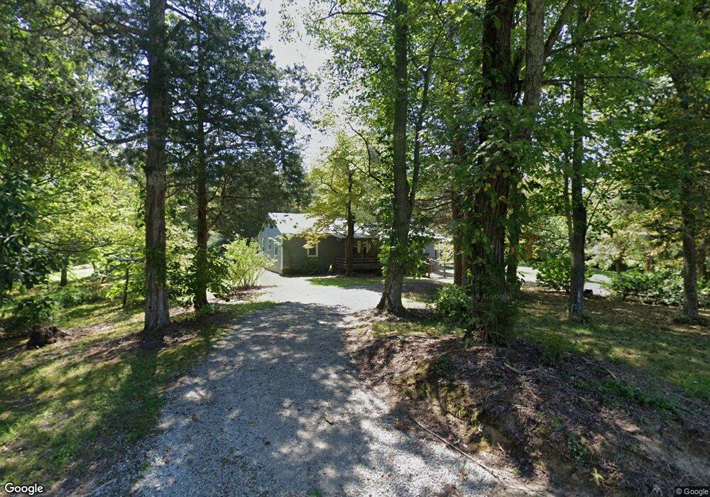
726 King Loop Alpine, TN 38543
Estimated Value: $272,000 - $303,000
Studio
1
Bath
1,288
Sq Ft
$220/Sq Ft
Est. Value
About This Home
This home is located at 726 King Loop, Alpine, TN 38543 and is currently estimated at $282,985, approximately $219 per square foot. 726 King Loop is a home located in Pickett County with nearby schools including Pickett County Elementary School and Pickett County High School.
Ownership History
Date
Name
Owned For
Owner Type
Purchase Details
Closed on
Dec 8, 2017
Sold by
Parsons Patricia M
Bought by
Parsons Patricia M and Parsons Andrea
Current Estimated Value
Purchase Details
Closed on
Oct 15, 2009
Sold by
House Roscoe T
Bought by
Parsons Patricia M
Purchase Details
Closed on
Jun 9, 2005
Sold by
Not Provided
Bought by
House Roscoe and Ux Bernice
Create a Home Valuation Report for This Property
The Home Valuation Report is an in-depth analysis detailing your home's value as well as a comparison with similar homes in the area
Purchase History
| Date | Buyer | Sale Price | Title Company |
|---|---|---|---|
| Parsons Patricia M | -- | None Available | |
| Parsons Patricia M | -- | -- | |
| House Roscoe | -- | -- |
Source: Public Records
Tax History
| Year | Tax Paid | Tax Assessment Tax Assessment Total Assessment is a certain percentage of the fair market value that is determined by local assessors to be the total taxable value of land and additions on the property. | Land | Improvement |
|---|---|---|---|---|
| 2025 | $809 | $47,325 | $13,900 | $33,425 |
| 2024 | $809 | $47,325 | $13,900 | $33,425 |
| 2023 | $808 | $47,325 | $13,900 | $33,425 |
| 2022 | $682 | $28,300 | $5,925 | $22,375 |
| 2021 | $682 | $28,300 | $5,925 | $22,375 |
| 2020 | $404 | $28,300 | $5,925 | $22,375 |
| 2019 | $413 | $16,775 | $4,375 | $12,400 |
| 2018 | $289 | $16,775 | $4,375 | $12,400 |
| 2017 | $175 | $9,350 | $3,075 | $6,275 |
| 2016 | $175 | $9,350 | $3,075 | $6,275 |
| 2015 | $175 | $9,356 | $0 | $0 |
| 2014 | $175 | $9,356 | $0 | $0 |
Source: Public Records
Map
Nearby Homes
- 5480 Eastport Rd
- 0 Lot 55 Milky Way
- 2021 Milky Way Rd
- 0 Bolestown Loop
- 0 Bolestown Loop
- 0 Milky Way Rd Unit RTC2996177
- 5616 E Port Dock Rd
- 5615 Eastport Rd
- 0 Cliff Edge Rd
- 0 Cliff Edge Rd Unit 1
- Lot Cliff Edge Rd
- 105 River Ln
- 2520 Riverton Rd
- .79 Acres Jamestown Hwy
- .79 Acre Jamestown Hwy
- 79 Jamestown Hwy Unit 1
- 770 Eastport Dock Rd
- 171 Gooseneck Ln
- 5395 Eastport Dock Rd
- 1255 Winningham Rd
- 715 King Loop
- 5139 Eastport Rd
- 790 King Loop
- 5005 Eastport Rd
- 760 King Loop
- 5009 Eastport Rd
- 54.92 AC Garfield Whited Rd
- 5655 Jamestown Hwy Unit 5655
- 699 Warden Ln
- 5065 Cooper Rd
- .37 Ac. E Port Rd
- 5597 Jamestown Hwy
- 5700 Jamestown Hwy Unit 5200
- 5700 Jamestown Hwy
- 135 AC Jamestown Hwy
- 5835 Jamestown Hwy
- 5835 Jamestown Hwy Unit 5835
- 5283 Cooper Rd
- 5770 Jamestown Hwy
- 5280 Eastport Rd
Your Personal Tour Guide
Ask me questions while you tour the home.