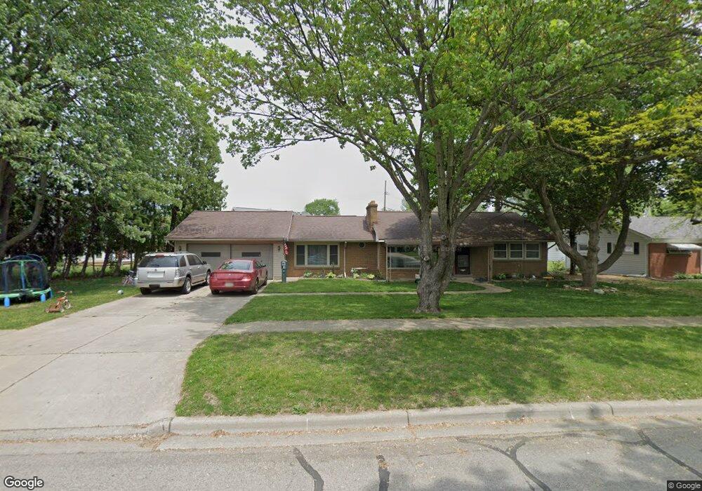
726 Maple Dr Unit Bldg-Unit Dundee, MI 48131
Estimated Value: $211,101 - $245,000
Studio
1
Bath
--
Sq Ft
14,375
Sq Ft Lot
About This Home
This home is located at 726 Maple Dr Unit Bldg-Unit, Dundee, MI 48131 and is currently estimated at $224,775. 726 Maple Dr Unit Bldg-Unit is a home located in Monroe County with nearby schools including Dundee Middle School, Dundee Elementary School, and Dundee Community High School.
Ownership History
Date
Name
Owned For
Owner Type
Purchase Details
Closed on
Oct 5, 2018
Sold by
Homeowner Rehabilitation Services Llc
Bought by
Siefker Michael L
Current Estimated Value
Purchase Details
Closed on
Jun 21, 2013
Sold by
Madden Susan
Bought by
Madden Susan
Create a Home Valuation Report for This Property
The Home Valuation Report is an in-depth analysis detailing your home's value as well as a comparison with similar homes in the area
Home Values in the Area
Average Home Value in this Area
Purchase History
| Date | Buyer | Sale Price | Title Company |
|---|---|---|---|
| Siefker Michael L | $148,000 | First Centennial Title | |
| Madden Susan | -- | -- |
Source: Public Records
Tax History
| Year | Tax Paid | Tax Assessment Tax Assessment Total Assessment is a certain percentage of the fair market value that is determined by local assessors to be the total taxable value of land and additions on the property. | Land | Improvement |
|---|---|---|---|---|
| 2025 | $1,839 | $94,370 | $94,370 | $0 |
| 2024 | $1,685 | $75,650 | $0 | $0 |
| 2023 | $822 | $72,370 | $0 | $0 |
| 2022 | $1,425 | $72,370 | $0 | $0 |
| 2021 | $2,598 | $67,890 | $0 | $0 |
| 2020 | $2,562 | $65,300 | $0 | $0 |
| 2019 | $1,353 | $65,300 | $0 | $0 |
| 2018 | $1,702 | $54,890 | $0 | $0 |
| 2017 | $1,626 | $54,890 | $0 | $0 |
| 2016 | $1,194 | $50,950 | $0 | $0 |
| 2015 | $1,186 | $44,360 | $0 | $0 |
| 2014 | $1,955 | $44,360 | $0 | $0 |
| 2013 | $1,189 | $40,810 | $0 | $0 |
Source: Public Records
Map
Nearby Homes
- 150 Waterstradt Commerce Dr
- 626 Plank St
- 512 Brooks Hollow Ct
- 504 Brooks Hollow Ct
- 469 Corinth
- 365 Sidney St
- 454 Tecumseh St
- 179 Timberbrook Ln
- 240 Ypsilanti St
- 264 Ypsilanti St
- 0 Tecumseh St
- 16484 Tecumseh St
- 190 Sidney St
- 1353 W Lloyd Rd
- 16488 Tecumseh St
- 535 Falcon Dr
- 439 E Monroe St
- 301 White Owl Ln Unit 236
- 671 Elk Ridge Dr
- 835 Henning St
Your Personal Tour Guide
Ask me questions while you tour the home.