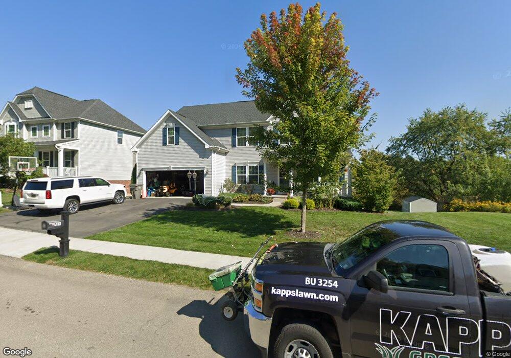
726 Packsaddle Trail Gibsonia, PA 15044
Estimated Value: $607,000 - $661,000
4
Beds
4
Baths
3,064
Sq Ft
$210/Sq Ft
Est. Value
About This Home
This home is located at 726 Packsaddle Trail, Gibsonia, PA 15044 and is currently estimated at $643,020, approximately $209 per square foot. 726 Packsaddle Trail is a home with nearby schools including Richland Elementary School, Eden Hall Upper Elementary, and Pine-Richland Middle School.
Ownership History
Date
Name
Owned For
Owner Type
Purchase Details
Closed on
Nov 10, 2015
Sold by
Nvr Inc
Bought by
Mclane Natalie and Mclane William
Current Estimated Value
Home Financials for this Owner
Home Financials are based on the most recent Mortgage that was taken out on this home.
Original Mortgage
$349,090
Outstanding Balance
$275,320
Interest Rate
3.87%
Mortgage Type
New Conventional
Estimated Equity
$367,700
Purchase Details
Closed on
Jul 16, 2015
Sold by
Marathon Partners Lp
Bought by
Nvr Inc
Create a Home Valuation Report for This Property
The Home Valuation Report is an in-depth analysis detailing your home's value as well as a comparison with similar homes in the area
Home Values in the Area
Average Home Value in this Area
Purchase History
| Date | Buyer | Sale Price | Title Company |
|---|---|---|---|
| Mclane Natalie | $387,885 | None Available | |
| Nvr Inc | $81,000 | -- |
Source: Public Records
Mortgage History
| Date | Status | Borrower | Loan Amount |
|---|---|---|---|
| Open | Mclane Natalie | $349,090 |
Source: Public Records
Tax History Compared to Growth
Tax History
| Year | Tax Paid | Tax Assessment Tax Assessment Total Assessment is a certain percentage of the fair market value that is determined by local assessors to be the total taxable value of land and additions on the property. | Land | Improvement |
|---|---|---|---|---|
| 2025 | $10,063 | $372,600 | $55,000 | $317,600 |
| 2024 | $10,063 | $372,600 | $55,000 | $317,600 |
| 2023 | $10,063 | $372,600 | $55,000 | $317,600 |
| 2022 | $10,063 | $372,600 | $55,000 | $317,600 |
| 2021 | $1,762 | $372,600 | $55,000 | $317,600 |
| 2020 | $9,880 | $372,600 | $55,000 | $317,600 |
| 2019 | $9,880 | $372,600 | $55,000 | $317,600 |
| 2018 | $1,762 | $372,600 | $55,000 | $317,600 |
| 2017 | $9,739 | $372,600 | $55,000 | $317,600 |
| 2016 | $1,727 | $365,100 | $55,000 | $310,100 |
Source: Public Records
Map
Nearby Homes
- 404 Minglewood Dr
- 251 Estates Dr
- 132 Bellefield Ct
- 121 Bellefield Ct
- 1043 van Velsor Dr
- 113 Bellefield Ct
- 106 Maple Dr
- 503 Kyle Ct
- 0 Legion Dr
- 5910 Heckert Rd
- 211 Central Dr
- 1042 Beacon Hill Rd
- 632 Sandy Hill Rd
- 744 Galloway Dr
- 146 Tanglewood Dr
- 6076 William Flinn Hwy
- 3901 Bakerstown Rd
- 539 Madison Dr
- 1010 Blackhawk Dr
- 4 Field Brook Ct
- 728 Packsaddle Trail
- 727 Packsaddle Trail
- 730 Packsaddle Trail
- 725 Packsaddle Trail
- 718 Packsaddle Trail
- 723 Packsaddle Trail
- 729 Packsaddle Trail
- 732 Packsaddle Trail
- 731 Packsaddle Trail
- 721 Packsaddle Trail
- 716 Packsaddle Trail
- 734 Packsaddle Trail
- 714 Packsaddle Trail
- 735 Packsaddle Trail
- 712 Packsaddle Trail
- 737 Packsaddle Trail
- 6062 Morrow Ln
- 739 Packsaddle Trail
- 710 Packsaddle Trail
- 6060 Morrow Rd