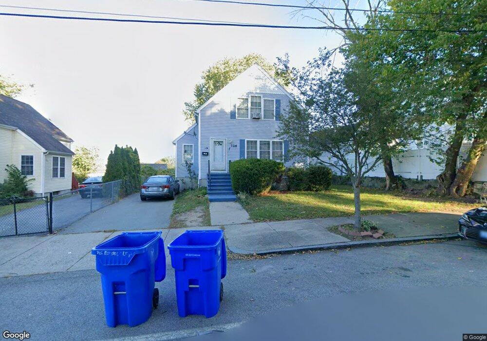
726 Roosevelt Ave Pawtucket, RI 02860
Estimated Value: $387,000 - $468,000
4
Beds
2
Baths
1,627
Sq Ft
$262/Sq Ft
Est. Value
About This Home
This home is located at 726 Roosevelt Ave, Pawtucket, RI 02860 and is currently estimated at $425,515, approximately $261 per square foot. 726 Roosevelt Ave is a home located in Providence County with nearby schools including Saint Raphael Academy.
Ownership History
Date
Name
Owned For
Owner Type
Purchase Details
Closed on
Jul 2, 1999
Sold by
Blackstone Valley
Bought by
Fortes Victoria R
Current Estimated Value
Home Financials for this Owner
Home Financials are based on the most recent Mortgage that was taken out on this home.
Original Mortgage
$70,000
Interest Rate
7.19%
Purchase Details
Closed on
May 31, 1995
Sold by
Pawtucket Cu
Bought by
Pawtucket Redev Agency
Create a Home Valuation Report for This Property
The Home Valuation Report is an in-depth analysis detailing your home's value as well as a comparison with similar homes in the area
Home Values in the Area
Average Home Value in this Area
Purchase History
| Date | Buyer | Sale Price | Title Company |
|---|---|---|---|
| Fortes Victoria R | $85,000 | -- | |
| Pawtucket Redev Agency | $35,000 | -- |
Source: Public Records
Mortgage History
| Date | Status | Borrower | Loan Amount |
|---|---|---|---|
| Open | Pawtucket Redev Agency | $120,000 | |
| Closed | Pawtucket Redev Agency | $25,000 | |
| Closed | Pawtucket Redev Agency | $94,000 | |
| Closed | Pawtucket Redev Agency | $70,000 |
Source: Public Records
Tax History Compared to Growth
Tax History
| Year | Tax Paid | Tax Assessment Tax Assessment Total Assessment is a certain percentage of the fair market value that is determined by local assessors to be the total taxable value of land and additions on the property. | Land | Improvement |
|---|---|---|---|---|
| 2025 | $5,125 | $389,700 | $130,500 | $259,200 |
| 2024 | $4,809 | $389,700 | $130,500 | $259,200 |
| 2023 | $4,792 | $282,900 | $65,600 | $217,300 |
| 2022 | $4,690 | $282,900 | $65,600 | $217,300 |
| 2021 | $4,690 | $282,900 | $65,600 | $217,300 |
| 2020 | $4,151 | $198,700 | $48,300 | $150,400 |
| 2019 | $4,151 | $198,700 | $48,300 | $150,400 |
| 2018 | $4,000 | $198,700 | $48,300 | $150,400 |
| 2017 | $3,815 | $167,900 | $42,400 | $125,500 |
| 2016 | $3,675 | $167,900 | $42,400 | $125,500 |
| 2015 | $3,675 | $167,900 | $42,400 | $125,500 |
| 2014 | $3,427 | $148,600 | $42,400 | $106,200 |
Source: Public Records
Map
Nearby Homes
- 30 Foundry St Unit 6
- 50 Carnation St Unit 2
- 29 Woodbine St Unit 6
- 517 High St
- 511 High St
- 300 Front St Unit 105
- 116 Foundry St
- 27 Collins Ave
- 0 New Haven St
- 396 Roosevelt Ave
- 39 Webster St Unit 204
- 168 Central Ave
- 176 Central Ave
- 234 Central St Unit 236
- 211 Carnation St
- 54 Sabin St
- 152 Washington St
- 1270 Broad St
- 90 W Carpenter St
- 66 Perry St
- 718 Roosevelt Ave
- 738 Roosevelt Ave
- 708 Roosevelt Ave
- 717 Roosevelt Ave
- 727 Roosevelt Ave
- 746 Roosevelt Ave
- 737 Roosevelt Ave
- 700 Roosevelt Ave
- 52 East St
- 50 East St
- 58 East St
- 48 Branch St
- 748 Roosevelt Ave
- 0 Branch St
- 2 Branch St
- 747 Roosevelt Ave
- 310 Middle St
- 302 Middle St Unit 1
- 4-8 Branch Unit 1-4
- 54 Branch St