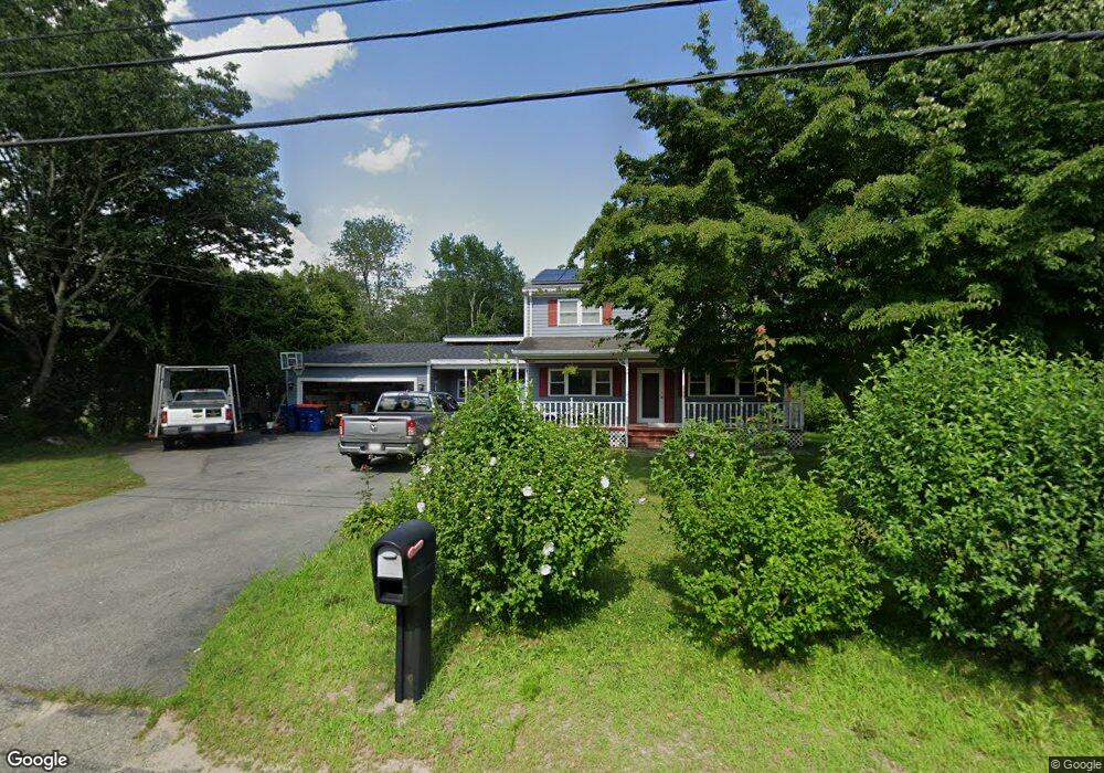
726 Sanford Rd Westport, MA 02790
North Westport NeighborhoodEstimated Value: $523,000 - $552,525
4
Beds
2
Baths
1,760
Sq Ft
$303/Sq Ft
Est. Value
About This Home
This home is located at 726 Sanford Rd, Westport, MA 02790 and is currently estimated at $534,131, approximately $303 per square foot. 726 Sanford Rd is a home located in Bristol County with nearby schools including Alice A. Macomber Primary School, Westport Elementary School, and Westport Middle-High School.
Ownership History
Date
Name
Owned For
Owner Type
Purchase Details
Closed on
Jan 31, 1996
Sold by
King Arthur V
Bought by
Aguiar David and Aguiar Darlene
Current Estimated Value
Create a Home Valuation Report for This Property
The Home Valuation Report is an in-depth analysis detailing your home's value as well as a comparison with similar homes in the area
Home Values in the Area
Average Home Value in this Area
Purchase History
| Date | Buyer | Sale Price | Title Company |
|---|---|---|---|
| Aguiar David | $135,000 | -- |
Source: Public Records
Mortgage History
| Date | Status | Borrower | Loan Amount |
|---|---|---|---|
| Open | Aguiar David | $212,000 | |
| Closed | Aguiar David | $161,000 | |
| Closed | Aguiar David | $158,000 | |
| Closed | Aguiar David | $16,000 |
Source: Public Records
Tax History Compared to Growth
Tax History
| Year | Tax Paid | Tax Assessment Tax Assessment Total Assessment is a certain percentage of the fair market value that is determined by local assessors to be the total taxable value of land and additions on the property. | Land | Improvement |
|---|---|---|---|---|
| 2025 | $3,366 | $451,800 | $171,900 | $279,900 |
| 2024 | $3,293 | $426,000 | $152,600 | $273,400 |
| 2023 | $3,339 | $409,200 | $139,000 | $270,200 |
| 2022 | $3,206 | $378,100 | $139,000 | $239,100 |
| 2021 | $4,331 | $354,000 | $114,900 | $239,100 |
| 2020 | $2,611 | $309,700 | $110,300 | $199,400 |
| 2019 | $3,250 | $295,900 | $110,300 | $185,600 |
| 2018 | $3,920 | $308,100 | $111,400 | $196,700 |
| 2017 | $5,352 | $297,700 | $107,800 | $189,900 |
| 2016 | $2,265 | $286,300 | $104,300 | $182,000 |
| 2015 | $2,055 | $259,100 | $106,700 | $152,400 |
Source: Public Records
Map
Nearby Homes
- 730 Sanford Rd
- 714 Sanford Rd
- 725 Sanford Rd
- 719 Sanford Rd
- 729 Sanford Rd
- 736 Sanford Rd
- 9 University Dr
- 735 Sanford Rd
- 15 University Dr
- 698 Sanford Rd
- 14 University Dr
- 745 Sanford Rd
- 21 University Dr
- 20 University Dr
- 756 Sanford Rd
- 27 University Dr
- 753 Sanford Rd
- 26 University Dr
- 685 Sanford Rd
- 37 University Dr